📍 Trail Stats
- 📏 Distance: 8.6 miles / 13.8 km
- ⛰️ Ascent: 1,667 ft
- ⬇️ Descent: 3,117 ft
- ⏱️ Total Time: 6h 18m
- 🚶 Moving Time: 4h 13m
- 📅 Date Hiked: April 19, 2026
- 🥾 Difficulty: Moderate (distance + sustained descent)
- 🔁 Route Type: Village-to-village traverse

On the map, it’s just a short traverse between two villages. On the ground, it’s a reminder of how people have moved through these mountains long before roads stitched the valleys together.
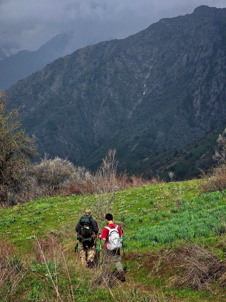
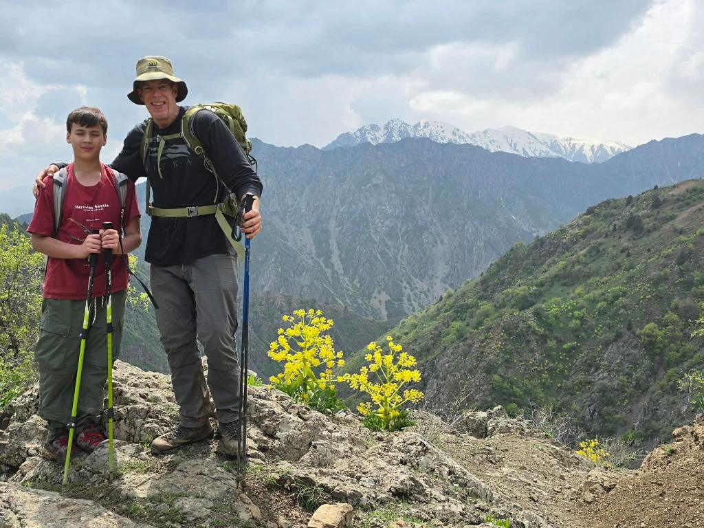
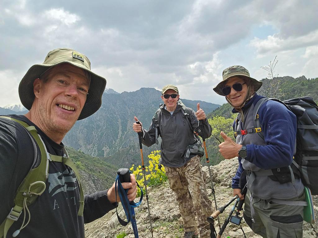
We made another early morning start out of town on Sunday, rolling past the northern toll booth by 6:45 a.m. Gavin was with me for this one. On the map, it looked simple enough.
We drove up through Varzob until the turn-off for Safeddara, where we hung a right and followed the road deeper into the mountains. Several miles later, we cut left onto a dirt track that dropped sharply to the river. Ten minutes after that, we were rolling through Dehmalik Village—one of our go-to trailheads for being so close to the city. There’s a big climb behind that village up to a high ridge with sweeping views of the Hissor Range, but on this day, we kept going.
A few more miles up the valley brought us to another cluster of homes. We stopped and talked with a few locals, who pointed back behind us toward a road that looked like it went straight up the mountainside. We turned the truck around and started the climb. Like so many roads in Tajikistan, it’s the kind where you’re always hoping you don’t meet another vehicle coming the other way.
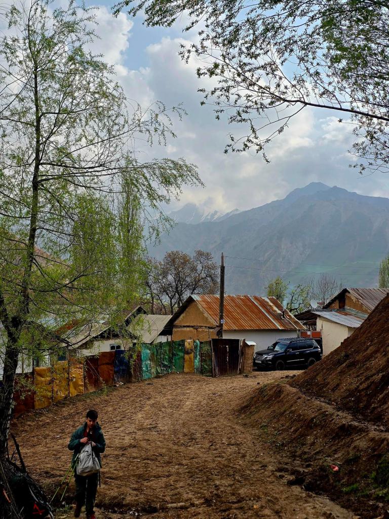
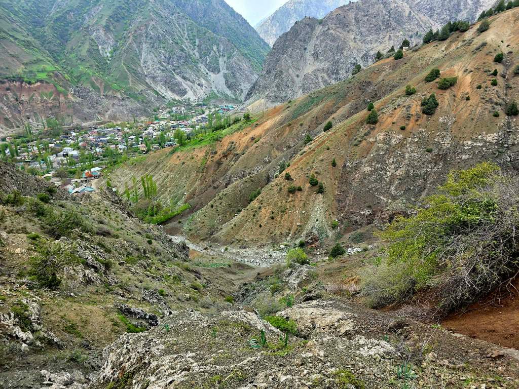
After gaining about a thousand feet, the terrain softened. The road leveled out into a patchwork of farmland and scattered homes built into the slope. We had arrived in Pushan.
We pulled in beside one of the houses and asked if we could leave the car there for the day. I had half assumed this might be a seasonal village, but when the owner invited me inside, it was clearly lived in year-round. Looking back down the road we had just climbed, the idea of driving it in winter didn’t seem like something I’d be signing up for anytime soon.
The plan was simple: hike roughly 13 kilometers over the mountains to Khushyori, a village along the main Varzob road, then find a ride back to retrieve the car. The man we spoke with gave us a number for someone willing to make the drive—something a normal taxi likely wouldn’t attempt.
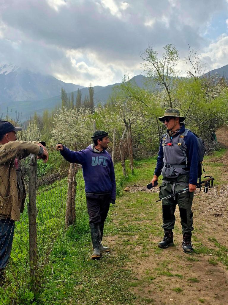
We geared up and started climbing out of the village. Not far up the trail, we passed a couple of guys working a small plot of land—one of them wearing a UFC sweatshirt. There’s a deep love here for wrestling, boxing, and MMA, and you see it in the most unexpected places.
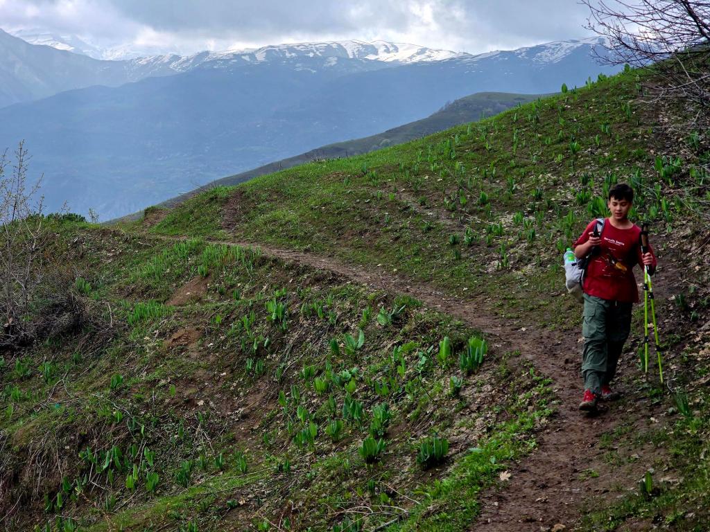
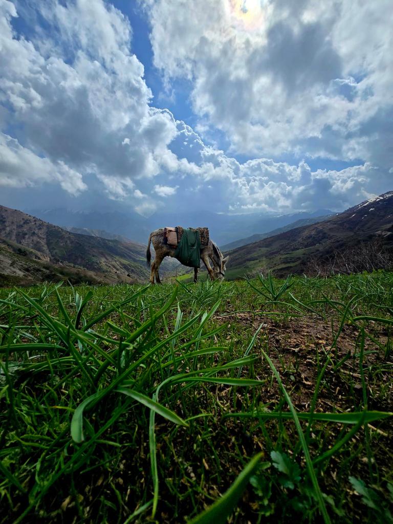
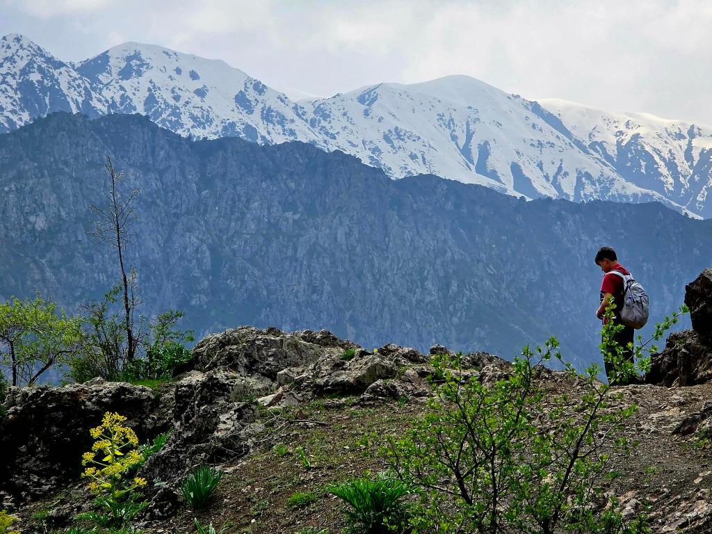
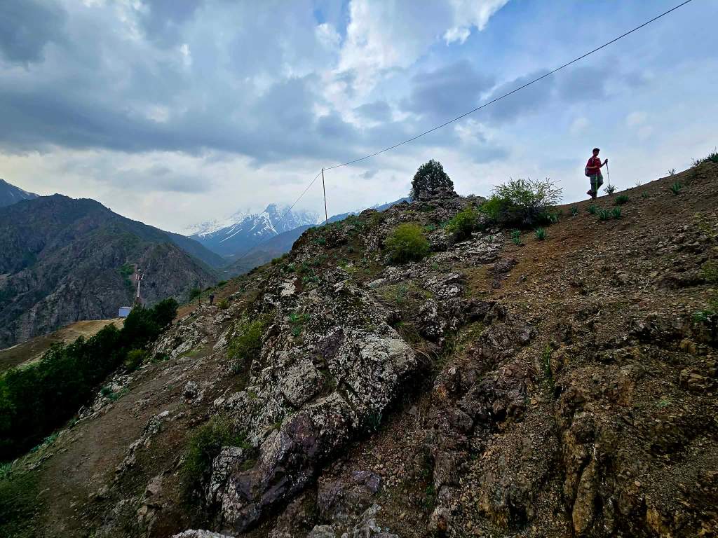
Further up, we fell in step with a man and his son, their donkey plodding along between them. For the next hour, we climbed together toward Gulodina Pass.
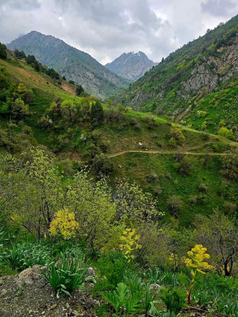
The trail didn’t feel like something built for hikers. It felt older than that—like a line drawn by necessity. The kind of path that exists because people needed to get from one valley to the next long before there were roads to follow.
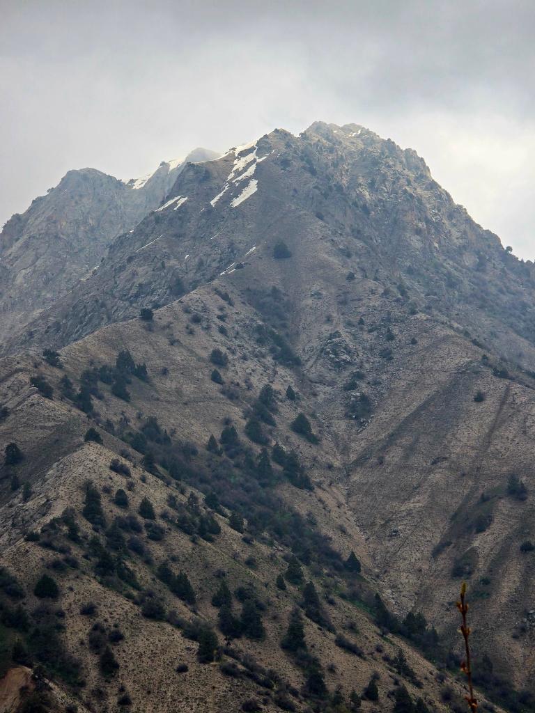
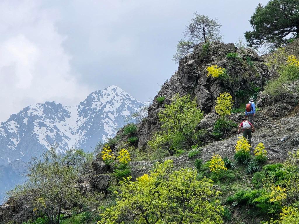
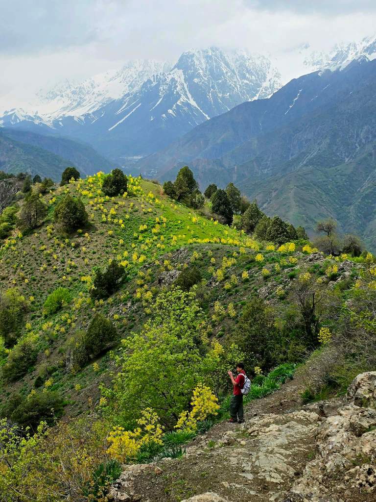
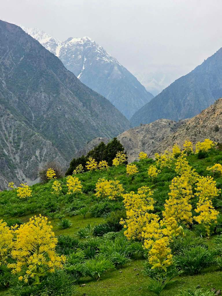
At the pass, the views opened in both directions. Behind us, the slopes fell back toward Pushan. Ahead, the land dropped away in long green folds toward the next valley. Off to the right, a higher peak rose above it all. We stopped, shared some snacks with the man and his son, and then went our separate ways—us dropping down the far side, them continuing upward toward higher ground.
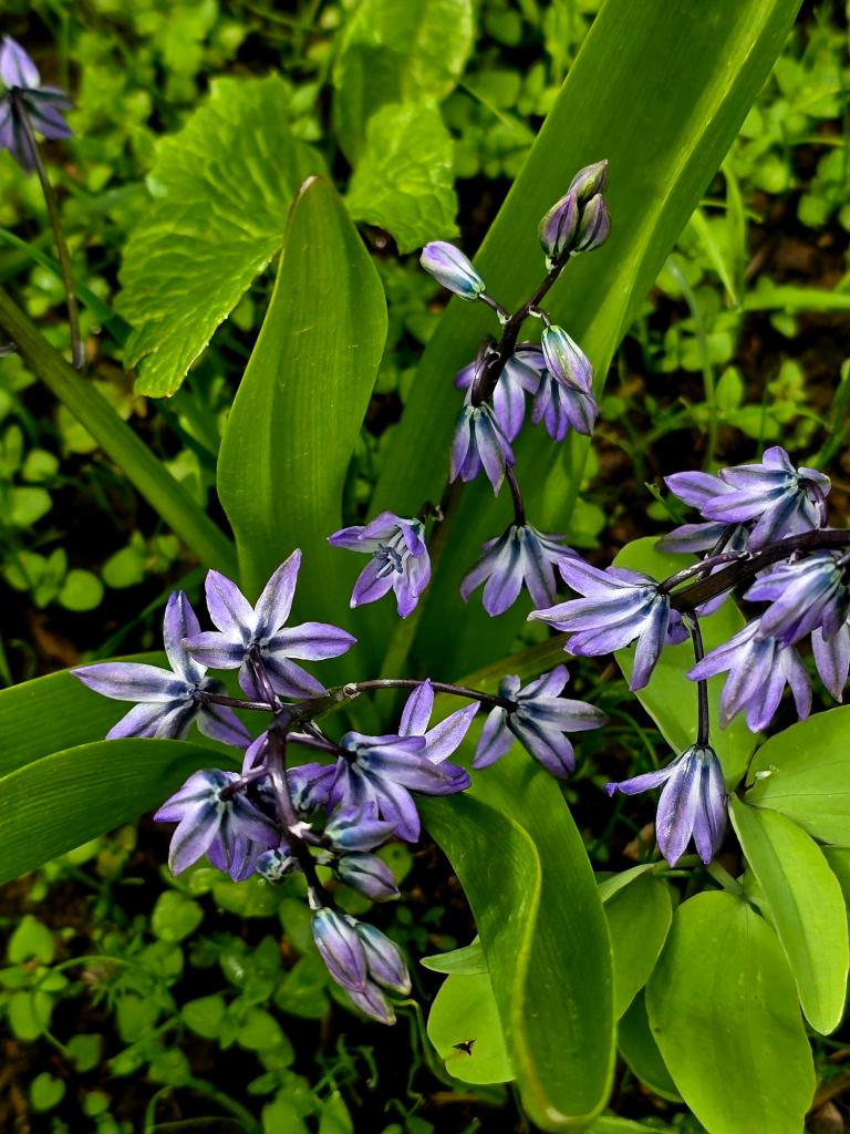
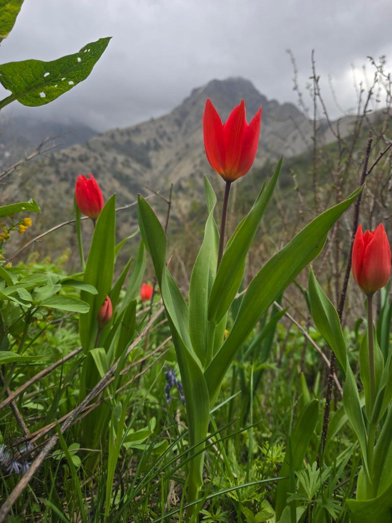
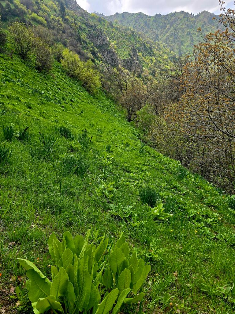
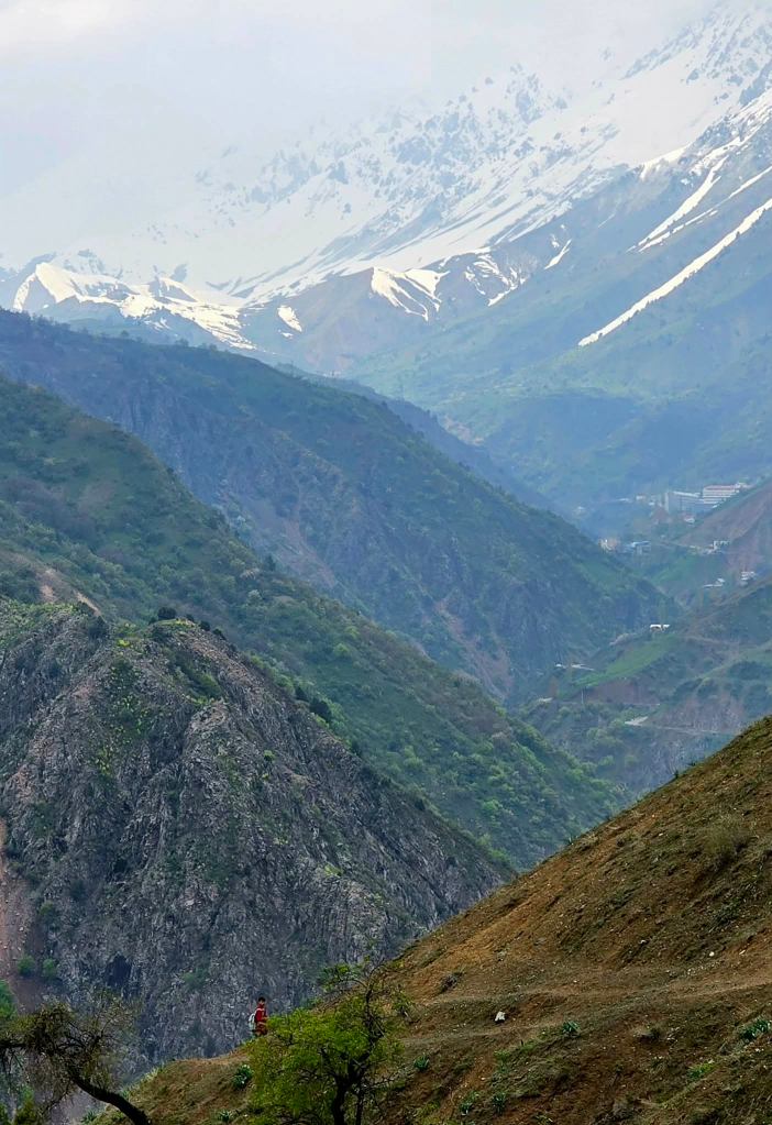
The descent was long and steady, thousands of feet through green hillsides covered in wildflowers. Near the bottom, a waterfall spilled down from the cliffs above, and we cut off the trail to take a closer look, pushing through thick patches of the phytotoxic yugeng plant along the way.
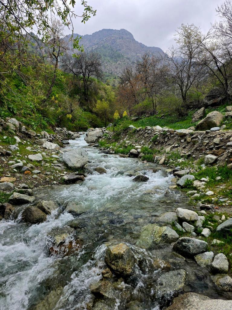
Eventually, we reached the river, crossing it a couple of times before settling in for lunch. There was one stretch of trail along the way that clung to a steep drop for a couple hundred meters—just enough exposure to keep things interesting—but it could have been avoided if we had picked up the better trail running slightly higher above.
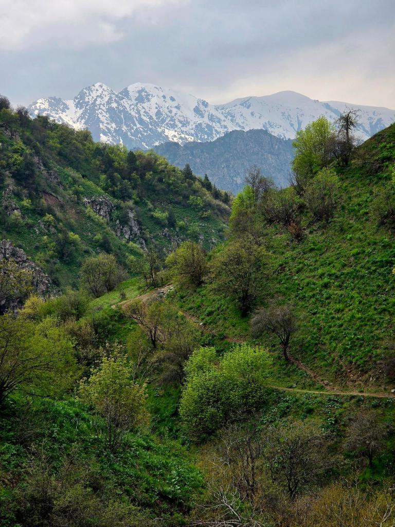
After lunch came one final climb, pulling us up and out of the valley and onto another ridge. The higher we went, the more the views began to open, until finally we rounded a corner and the entire range behind Khoja Obi Garm came into view across the main Varzob corridor far below.
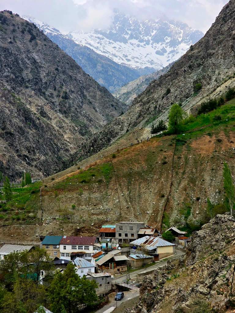
From there, it was all downhill.
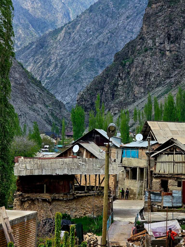
We dropped steadily into Khushyori, wrapping up a full village-to-village traverse that felt less like a hike and more like stepping into an older rhythm of movement through these mountains.
A few of us ducked into a small chaihana and ordered lagman while the others headed off to retrieve the car. Just over an hour later, they rolled in, and we piled back in for the drive to Dushanbe—another good day in the hills.

Leave a comment