📍 Trip Snapshot
- 🥾 Distance (Hike): ~5–6 miles out & back
- ⛰️ Ascent: Minimal
- 🕒 Time on Trail: ~2–3 hours
- 🚗 Drive Time: ~4–5 hours total (Sarytag → Seven Lakes)
- 📅 Date: March 2025
- ⚡ Difficulty: Easy–Moderate (distance + travel day)
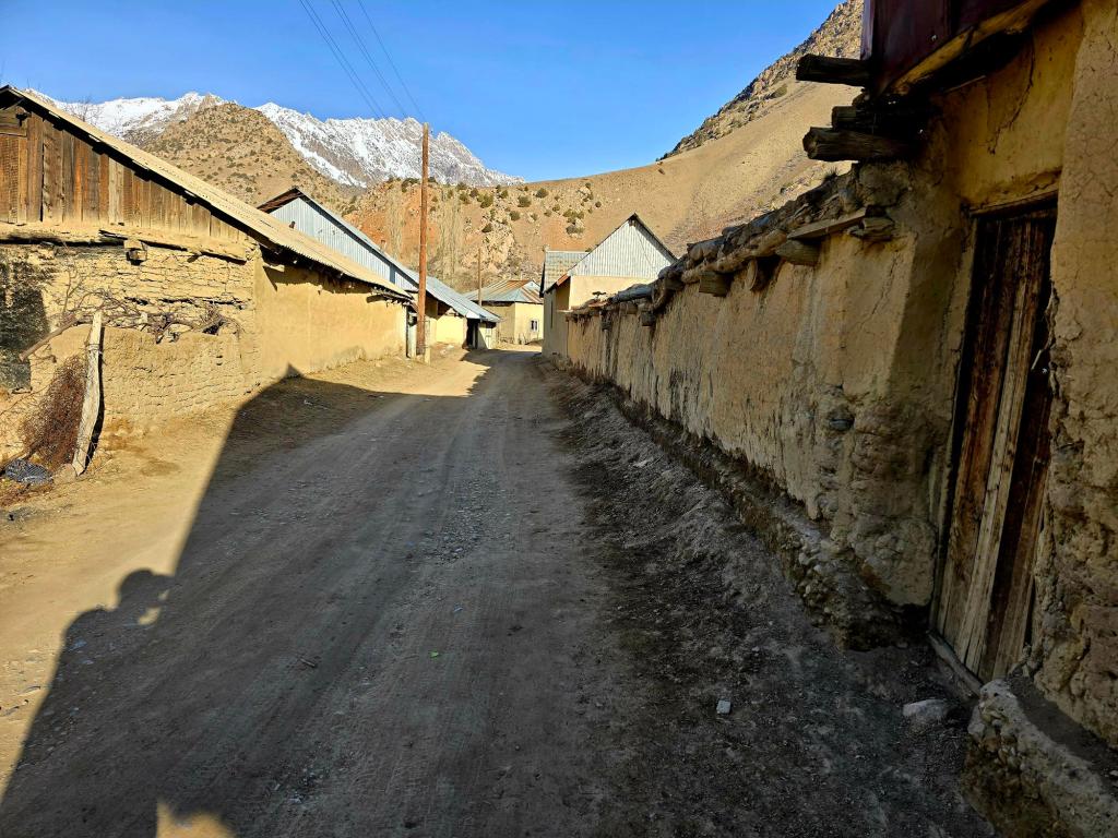
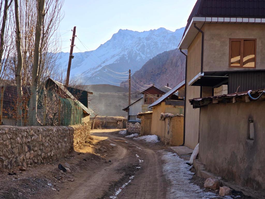
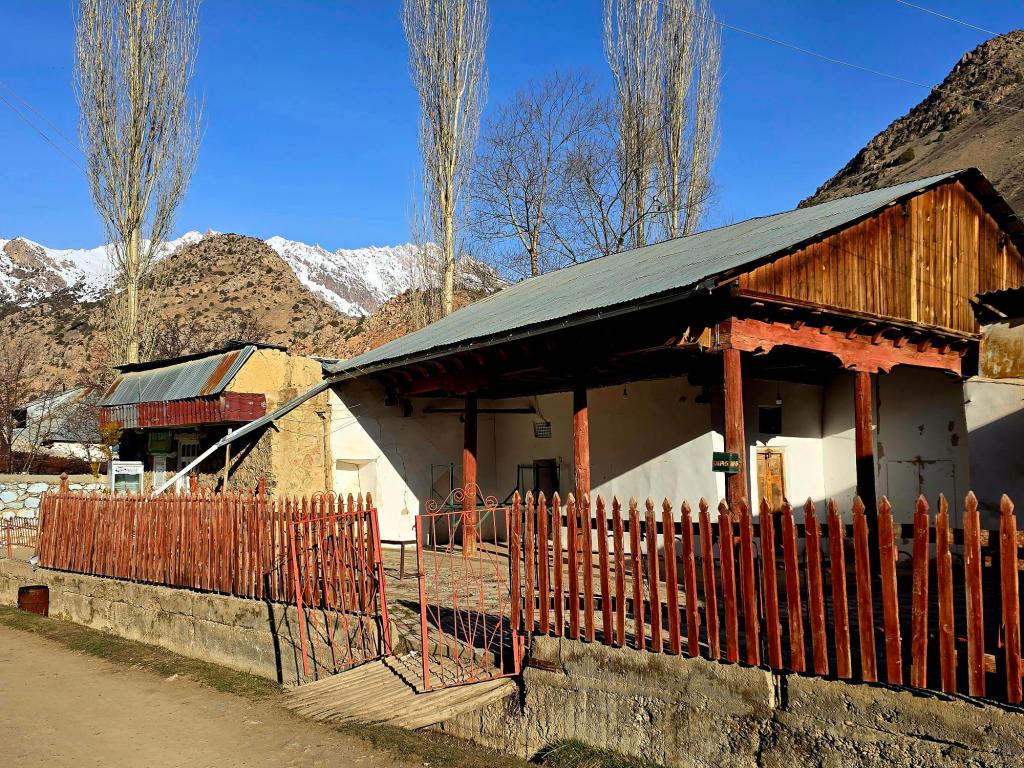
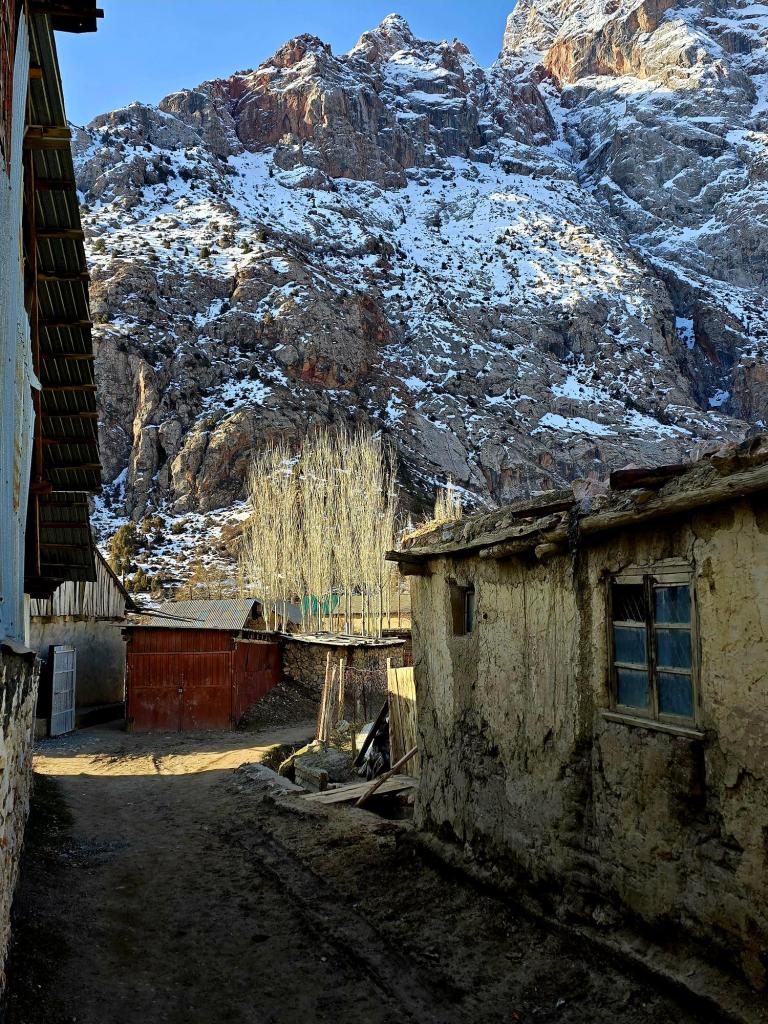
On what would be our last morning in Sarytag, I was up early, wandering quietly through the village while most of it still slept. A few women were already outside tending to morning chores, but otherwise the place felt still—like the tail end of winter hadn’t quite let go yet. The soft light, sharp blue skies, and snow-dusted peaks made it hard not to linger with the camera before heading back for breakfast.
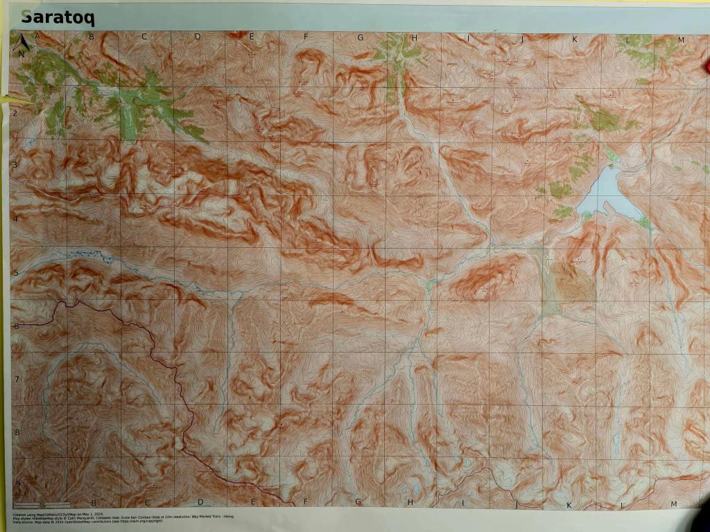
Before setting out, I found myself studying the large topographic maps hanging on Dilovar’s wall, comparing them with my Outdooractive app. It’s one of those places that quietly reveals its scale the longer you look. Valleys branch endlessly into the Fann Mountains, routes stretching toward the Kulikalon Lakes, over high passes toward the Seven Lakes, or even south toward the Hissar Range and Obi Garm. It’s the kind of terrain that plants ideas in your head for future trips before you’ve even finished the one you’re on.
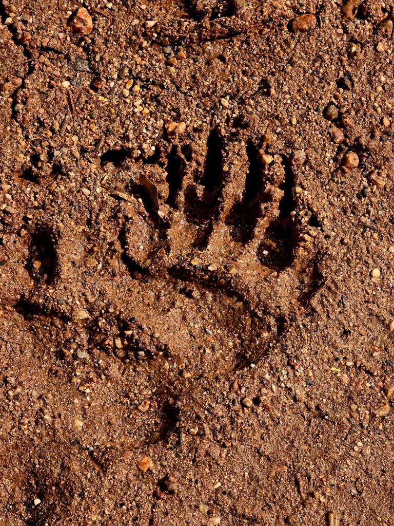
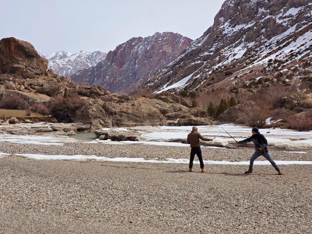
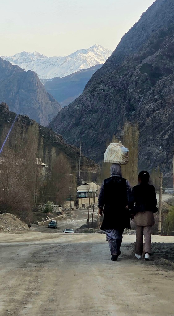
We stepped out into the crisp air and made our way up the Sarytag Valley, passing once more by the turnoff into the Archamaidan Valley. Not far beyond the edge of the village, fresh bear prints cut across the trail—a reminder that this landscape is very much still shared. Around here, though, it’s not just the bears you keep an eye on. The village dogs, scarred and hardened, are just as much a part of the ecosystem, holding their ground in a way that suggests they’ve seen plenty.
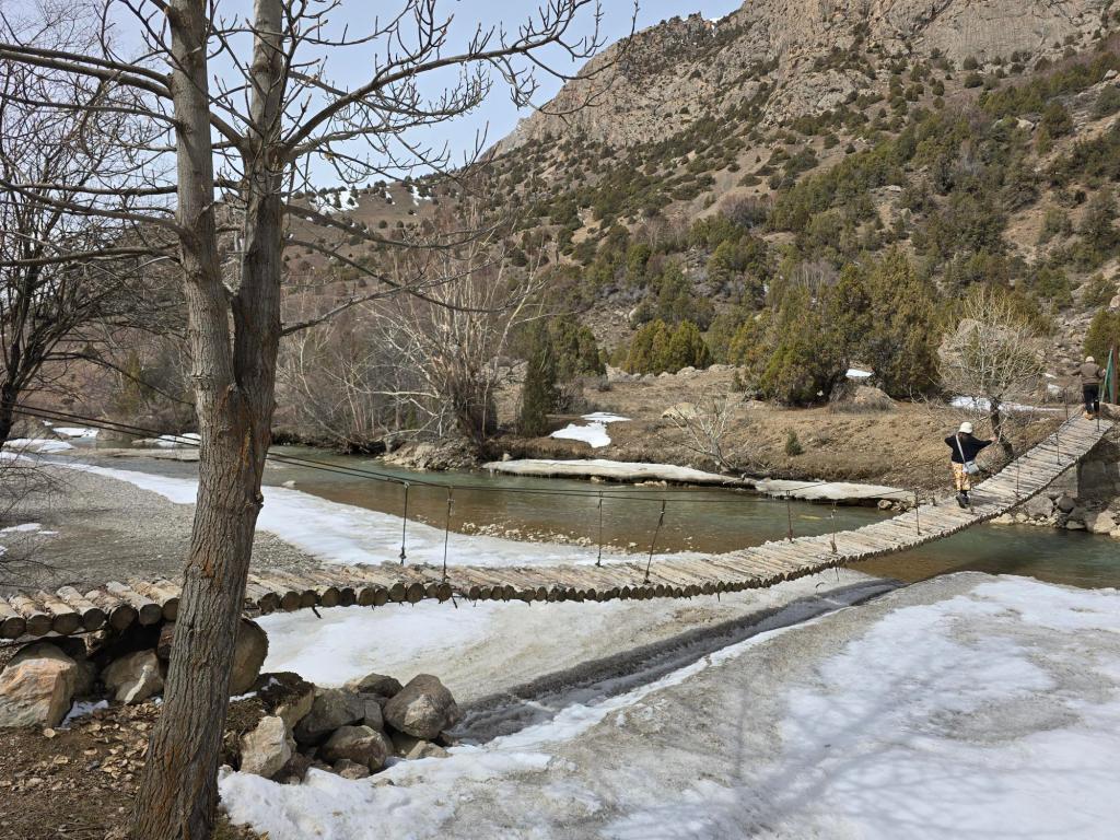
A mile and a half in, we passed the remains of an old Soviet-era Pioneer camp—just the skeleton of a place now, with a footbridge still spanning the river. These camps once dotted remote valleys across the Soviet Union, bringing children out into nature for summers of hiking and outdoor life. Now, they sit quietly, slowly being reclaimed by the mountains.
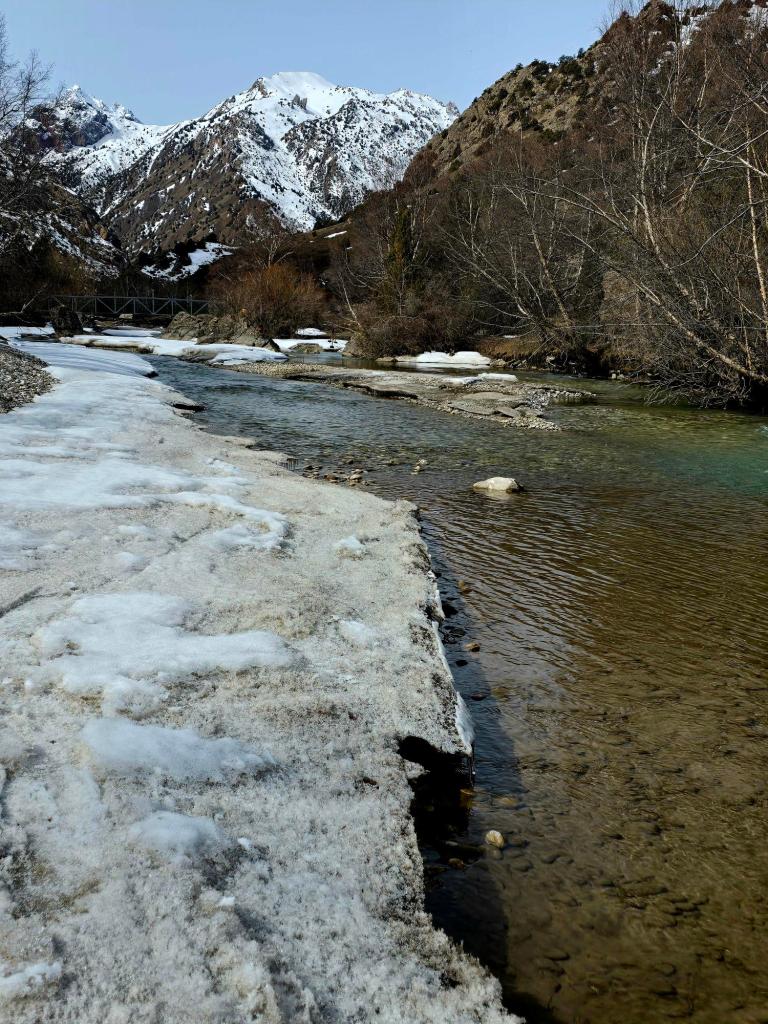
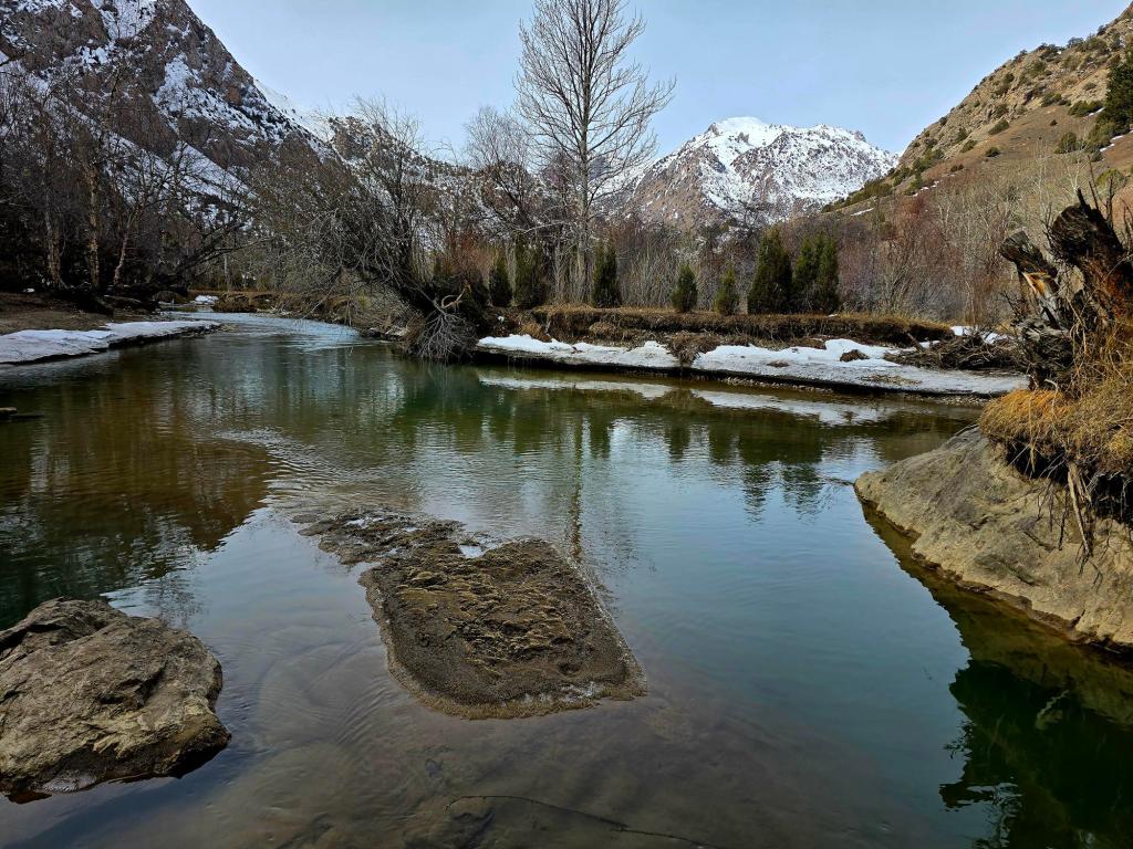
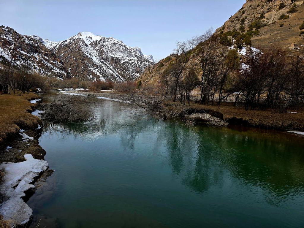
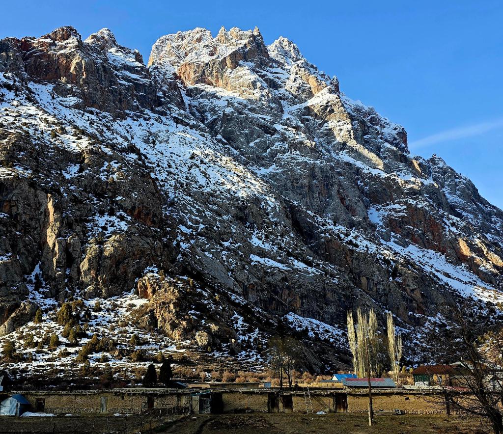
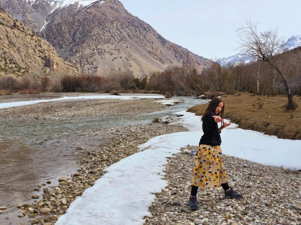
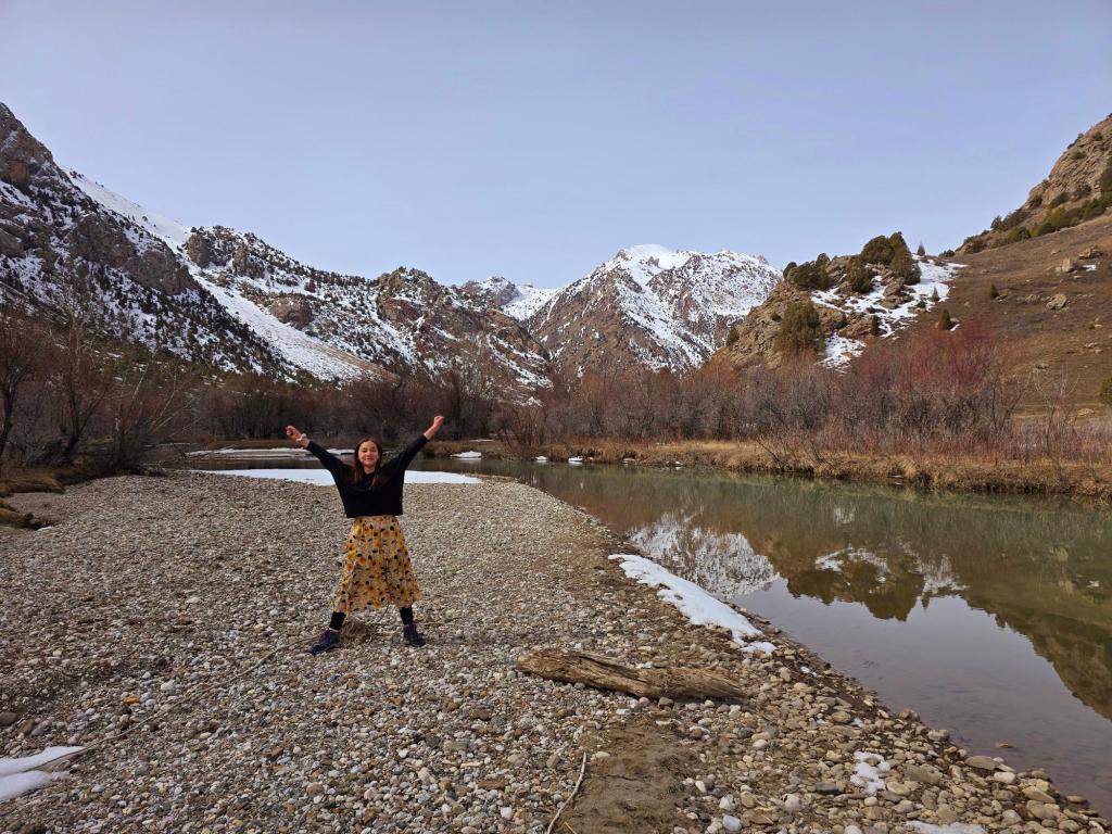
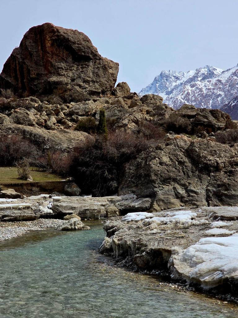
Beyond that, the valley opened and closed in gentle rhythms—patches of forest giving way to frozen riverbanks and wide glacial stretches. The Sarytag River moved steadily beside us, edged with ice and snow, the whole valley inviting a slower pace. We walked a few miles upstream, eventually reaching a bend where the valley split northward and decided that was our turn-around point.
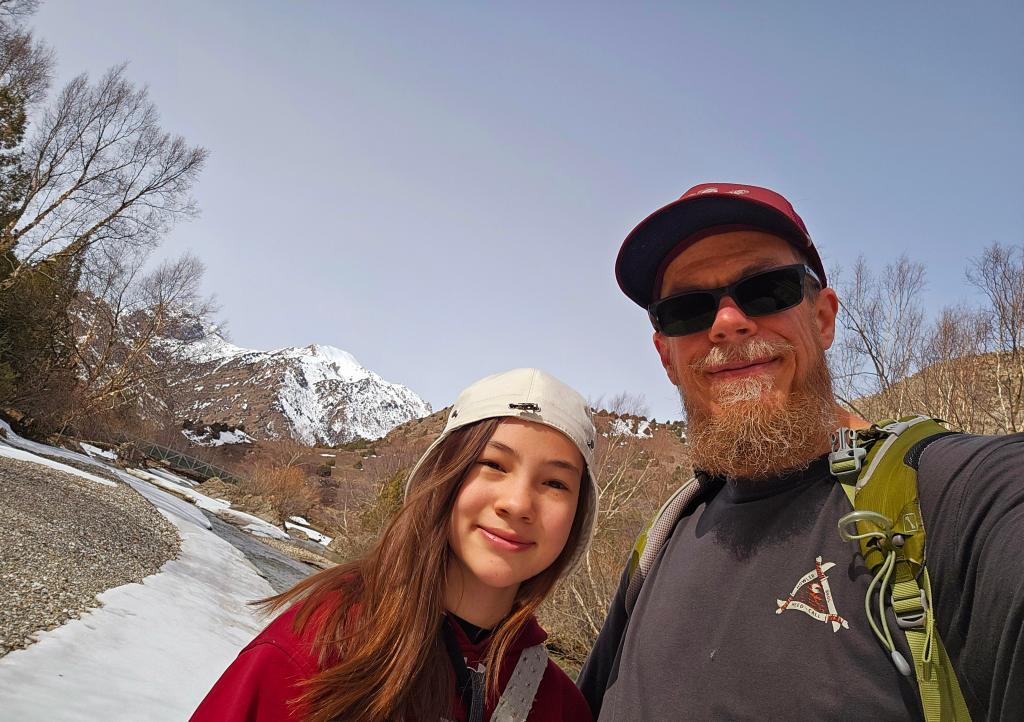
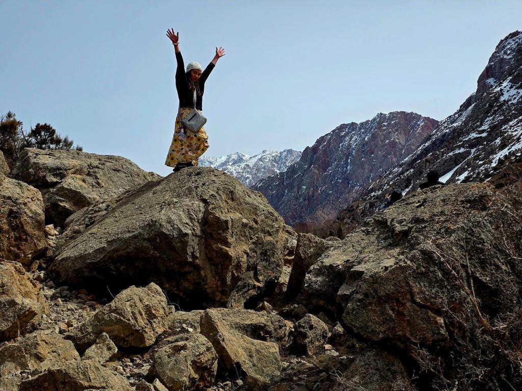
On the way back, we crossed the old footbridge and returned along the opposite bank, picking our way past strange rock formations and frozen pockets of the landscape that hadn’t yet thawed. It was one of those mornings that didn’t need anything dramatic—just time, movement, and the quiet presence of my daughters beside me in another corner of Tajikistan that felt entirely untouched.
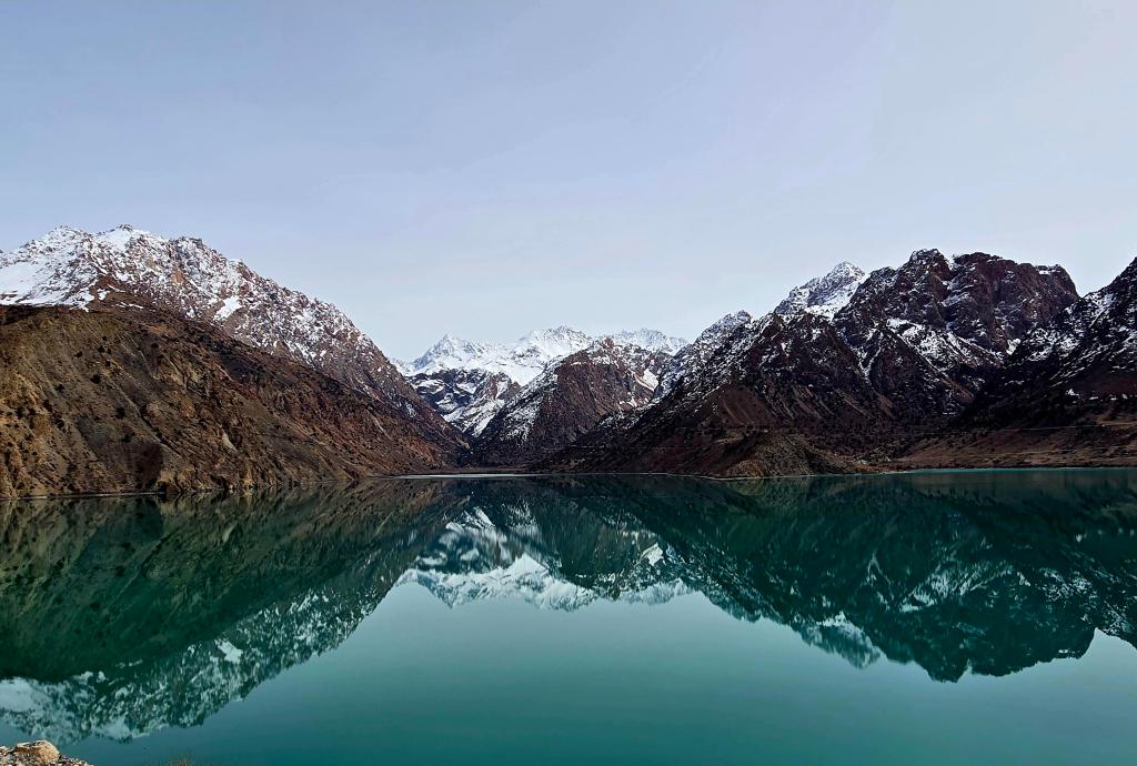
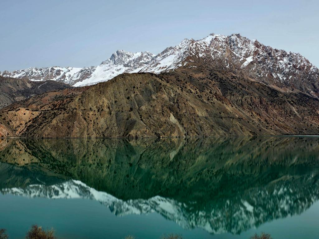
After lunch, we packed up and rolled out, retracing our route past Iskanderkul. The lake was calm again, mirroring the mountains in that effortless way it does, before the road tightened into narrow canyon corridors on the way toward the main highway. Turning toward Panjakent, the landscape shifted—the Zeravshan River guiding us through a broader valley, with villages stretched along its edges.
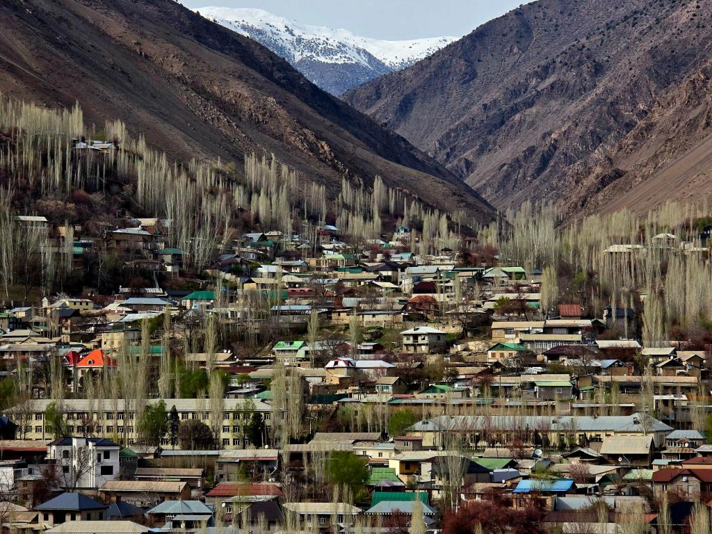
At one point, we passed a massive hillside completely covered in homes. Denis mentioned it was the largest village in Tajikistan. It felt like something between a village and a town—dense, sprawling, but still unmistakably rural in its rhythm.
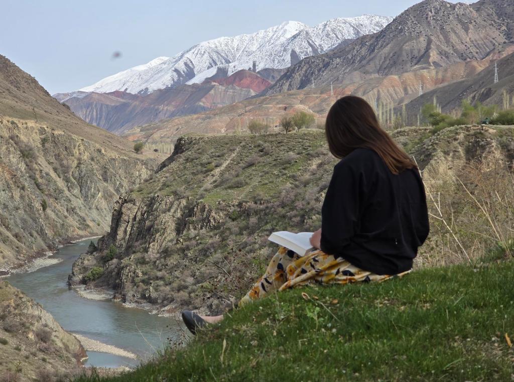
We stopped for a break along a set of switchbacks overlooking a deep canyon. The river surged far below, its sound carried faintly up the walls. My daughter found a quiet spot to read while I scrambled partway down the slope in search of a path to the water. There wasn’t one—just loose rock and steep angles—so I climbed back up for coffee and a snack, content to take it in from above.
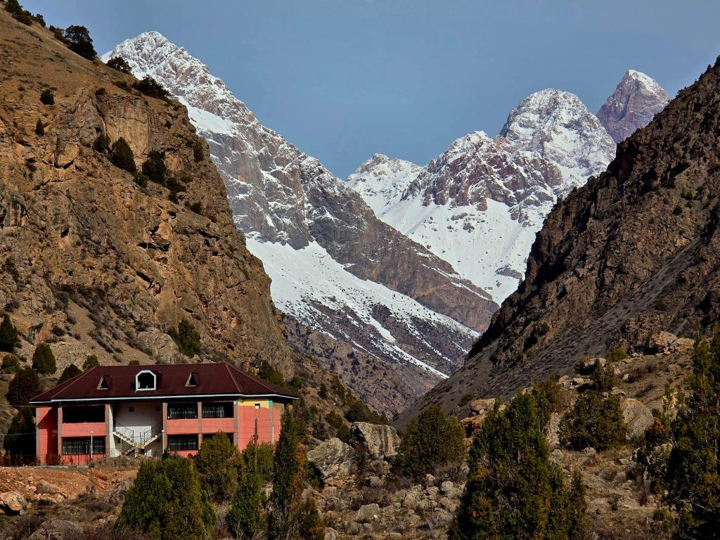
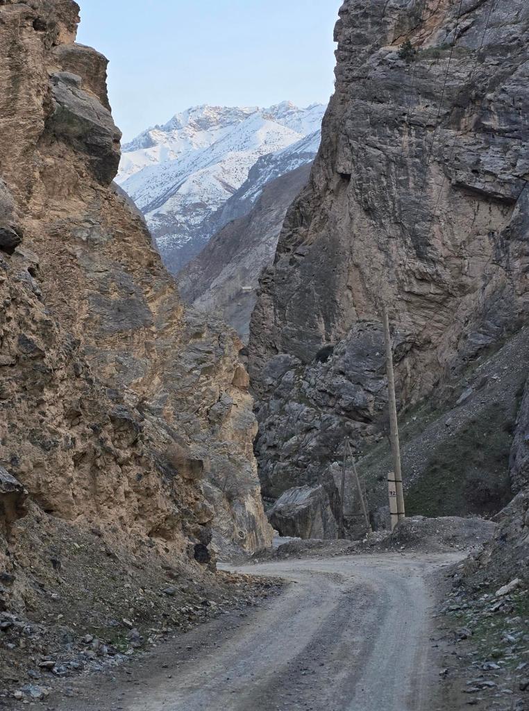
Not long after, we turned off the main road and began the climb toward the Seven Lakes. The road wound through small villages, each one tucked into the mountains, before narrowing as the valley tightened. A Chinese gold mining operation appeared briefly—a stark reminder of the modern world pushing into these remote places—before giving way again to rough dirt roads and high mountain quiet.
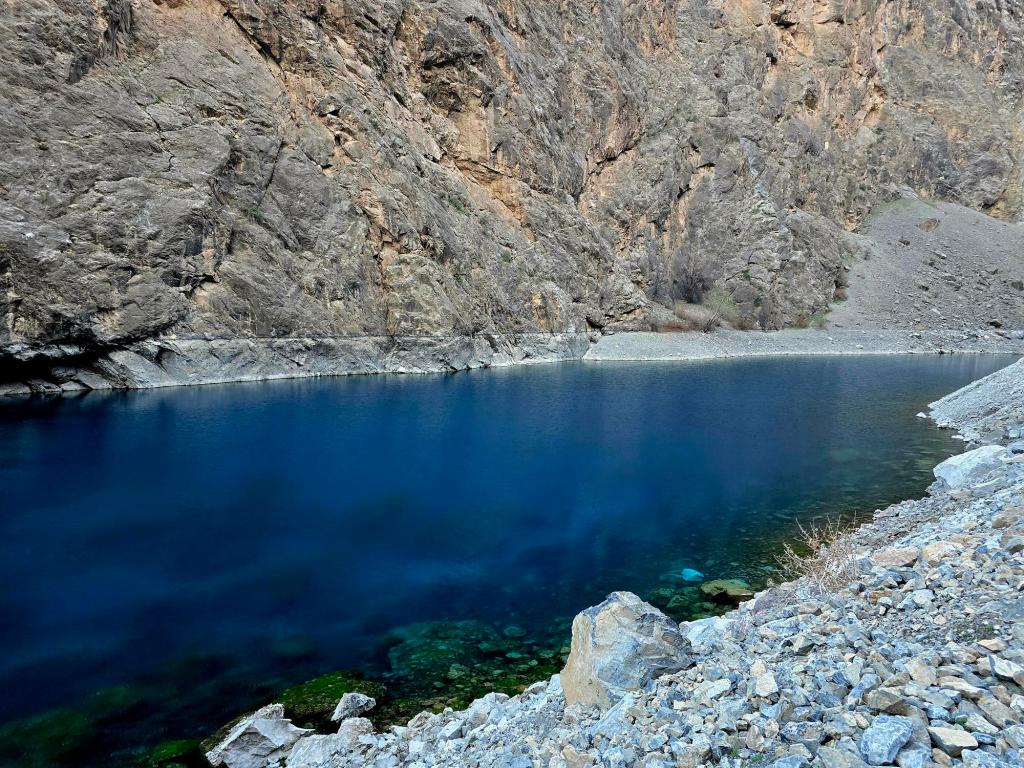
Then, almost suddenly, the first lake appeared.
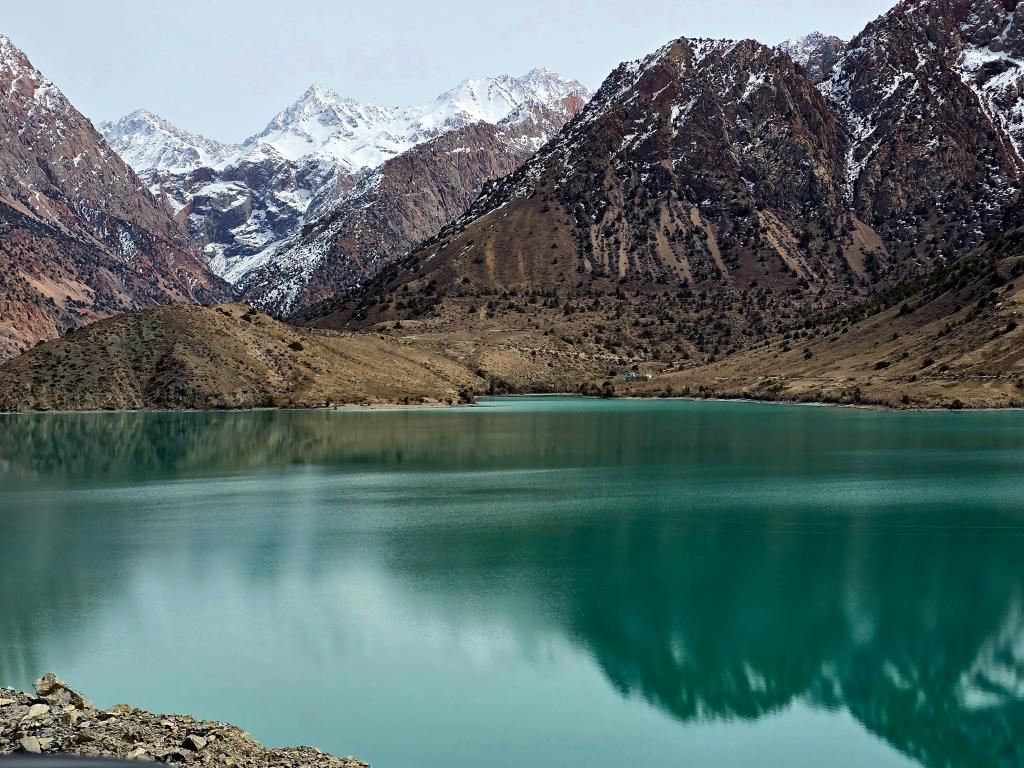
After the scale of Iskanderkul, it felt almost small—easy to overlook if not for its color. A deep sapphire blue, fading to turquoise along the edges, sitting in a tight rocky basin. We pulled over immediately. It didn’t seem deep, maybe 15 feet at most, and no more than 40 feet across, but it held a kind of intensity that made it hard to walk away.
We climbed higher, passing the next lakes in quick succession, each one tucked into its own corner of the valley, until we reached the village near the fourth lake.
Jumaboy Guesthouse came into view just before sunset. We were welcomed in like family, the warmth of the place hitting us almost instantly—especially once the wood stove in our room was fired up. Outside, the temperature dropped fast as the sun disappeared behind the ridges.
Dinner followed—plates of plov, fresh salads, black tea, and trays of dried fruits, nuts, and sweets laid out across the table.
A long day, stretching from quiet village mornings to high mountain lakes, wrapped up in the kind of simple comfort that always seems to follow a good journey in Tajikistan.
A Note on the Seven Lakes
The Seven Lakes—known locally as Haft Kul—aren’t one single destination, but a chain of lakes stepping their way up a narrowing mountain valley. Each one feels a little different. Some are tucked into tight rock corridors, others open out into wider basins with small villages clinging to the slopes.
Their colors are what people remember most—shifting blues and greens that change with the light, the season, and the depth of the water. By the time you reach the upper lakes, the crowds thin out, the road fades, and the valley starts to feel a little more wild again.

Leave a comment