🥾 Hike Stats
📏 Distance: 12.5 miles / 20 km
⬆️ Elevation Gain: ~2,500 ft / 760 m
⏱️ Time: ~8 hours total (6 hours moving)
🔥 Difficulty: Hard (winter conditions, deep snow, postholing)
🔁 Route Type: Out & Back
📍 Trailhead: Kharangon Village, Varzob Valley
📅 Date Hiked: February 1, 2026
When my buddy Victor messaged to say they had an extra seat in the car if I wanted to join them for a hike on Sunday, I didn’t hesitate. I’ve been out with him eight or ten times already, and I’ve learned that it’s never going to be an easy stroll. This day was no exception.
We met early on the northern edge of Dushanbe and were soon picked up by another member of the group—someone I’d been friends with on social media for some time now, but had never actually met in person. Another American, Greg, joined us shortly after, and before long we were piled into the car and rolling out of the city.
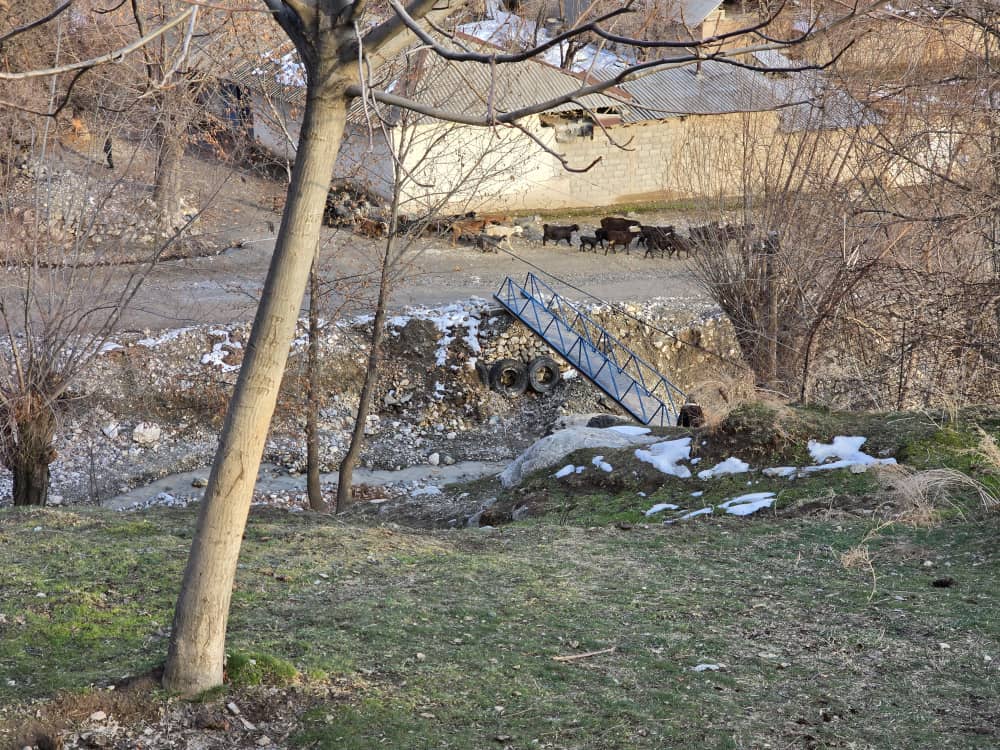
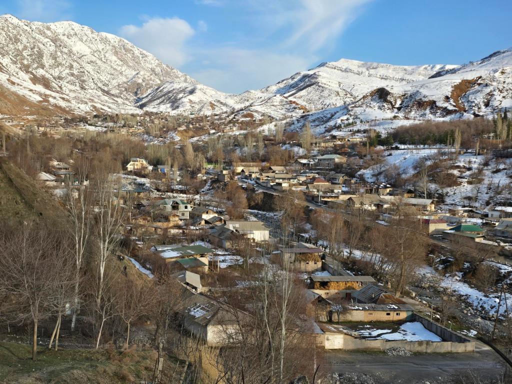
We passed the old shut down cement plant on the left and then turned onto the road climbing up through Varzob, only staying on it briefly before making a sharp right toward Kharangon village. About forty minutes later, we parked at the edge of the village near a small footbridge crossing a narrow river.
High above Kharangon sits the new cement plant, billowing thick smoke around the clock. I imagine the intention was to move it out of sight and away from the city, but the wind often blows straight toward Dushanbe. On calm winter days, when there’s no rain or strong weather to clear the air, that smoke still finds its way back down into the valley. Luckily, it wasn’t blowing anywhere near our direction today.
As is often the case here, the projected distance didn’t quite match reality. I had pictured a neat seven-kilometer hike to the summit, turn around and seven back. That was not how this one played out.. We crossed the bridge and scrambled straight up the hillside, slipping behind a row of houses before reaching a dirt road that climbed steadily toward the plant.
Just before reaching it, we cut off the road and headed toward the mountain, eventually reconnecting higher up. From there, dump trucks rumbled past us in both directions. Whether it was the vibration from the trucks or just natural erosion, the sound of rocks sliding down the steep slopes above us was nearly constant.
The road switchbacked as snow began to cling to the edges—muddy dirt in the center, ice patches and deeper snow piled along the sides where it had been plowed. Every driver waved or smiled as they passed, and at least half slowed to ask if we wanted a ride farther up. We declined every time.
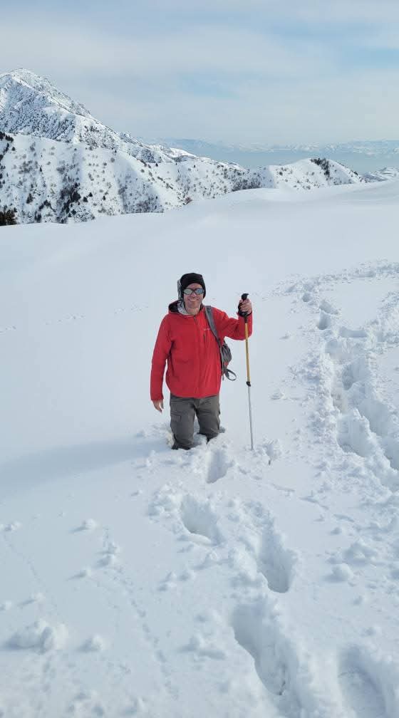
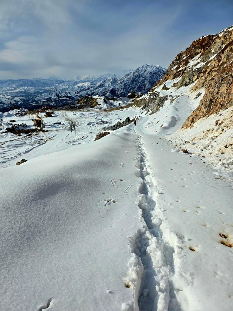
After gaining roughly 1,200 feet, we reached the loading area where trucks were being filled with rock. Active mining and blasting for lime was taking place here. From that point on, snow covered everything. We stopped, had a snack, pulled on our gaiters, and left the road behind, heading directly into the white.
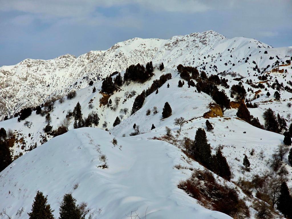
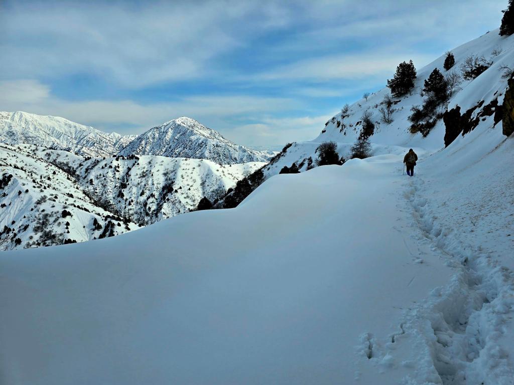
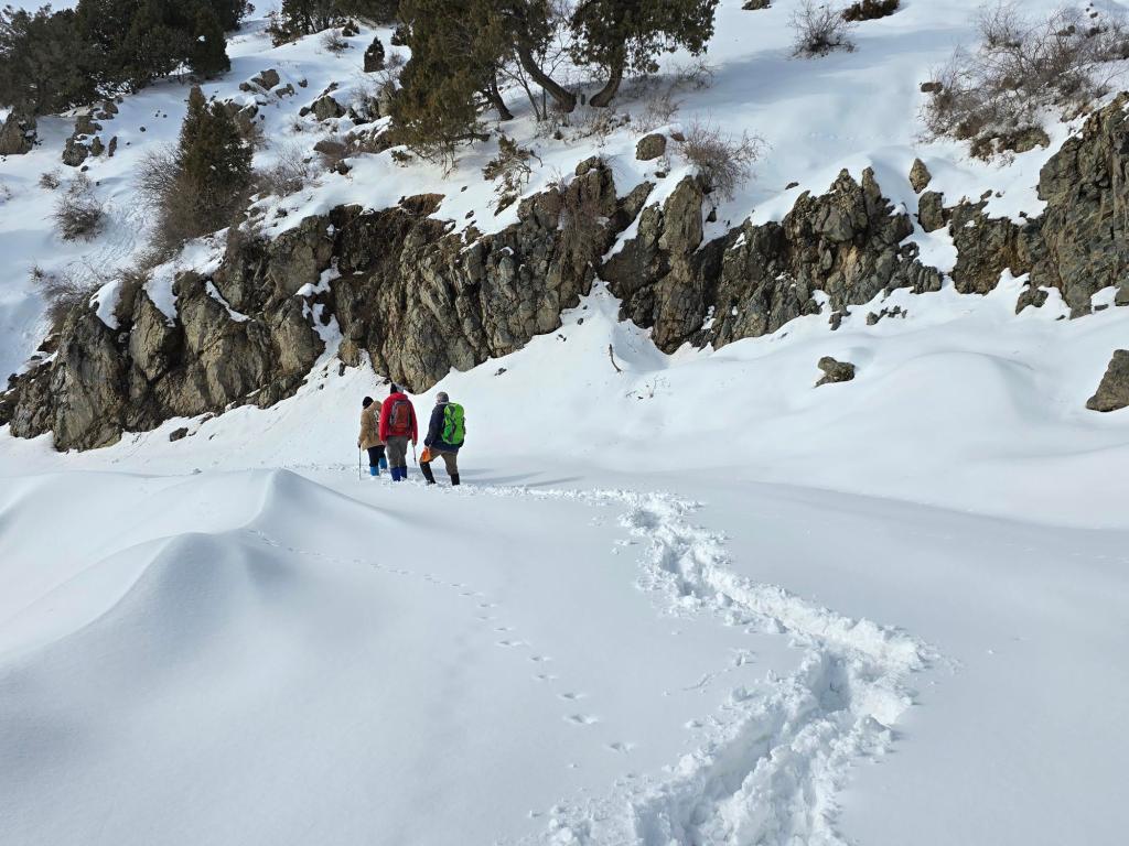
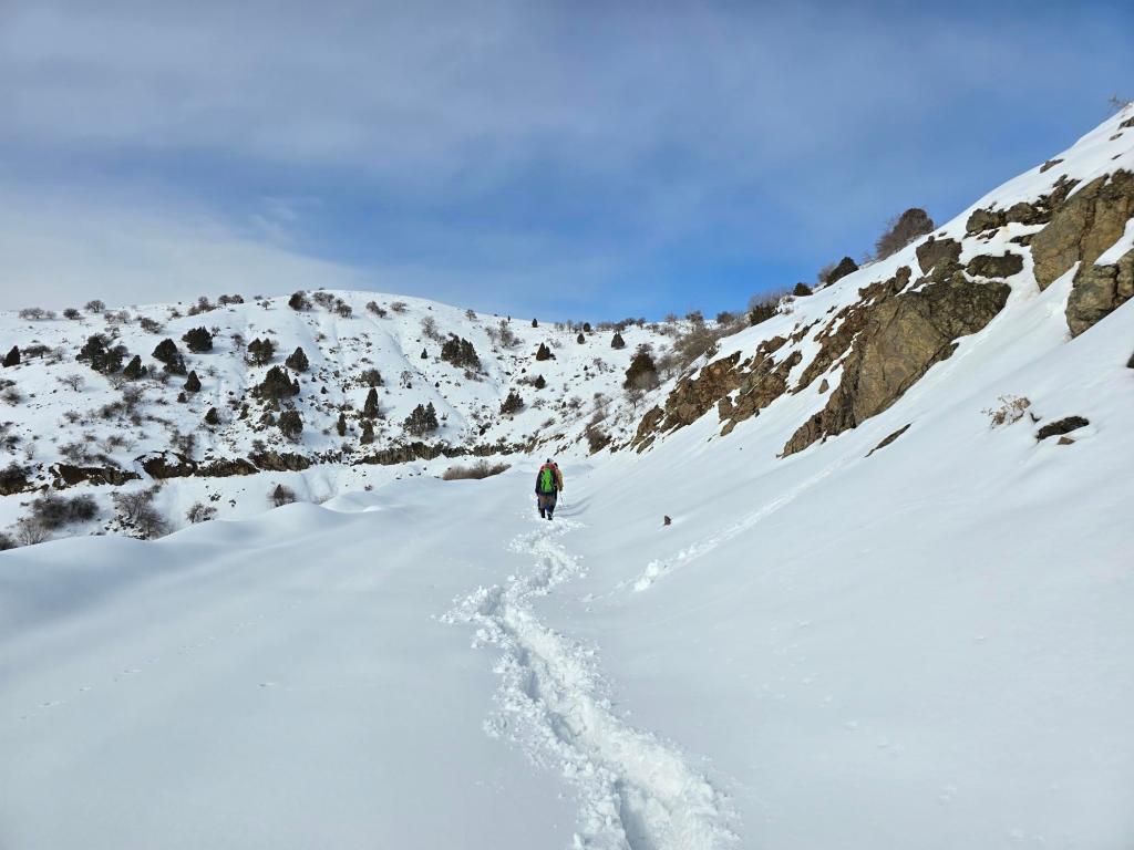
At first, the snow was manageable—two or three inches deep. After another 500 meters of elevation gain, it thickened to six inches. We followed a faint trail for another kilometer or so, running roughly 80 meters below the ridge above us.
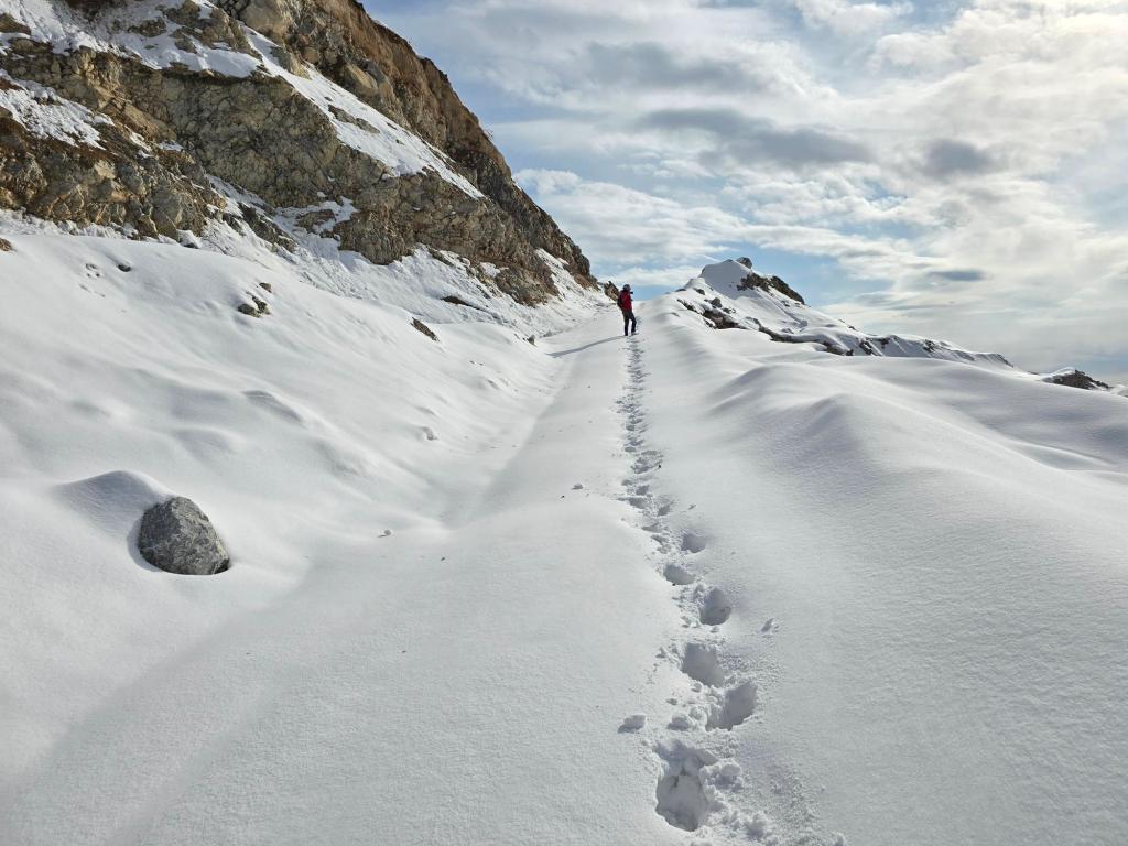
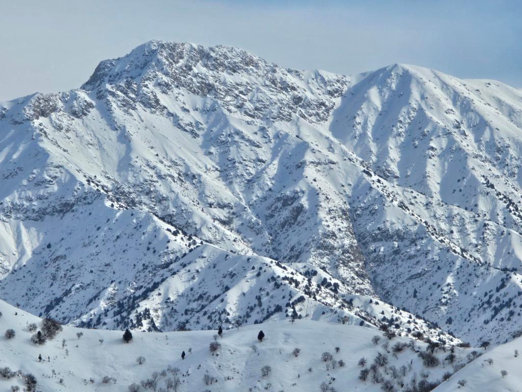
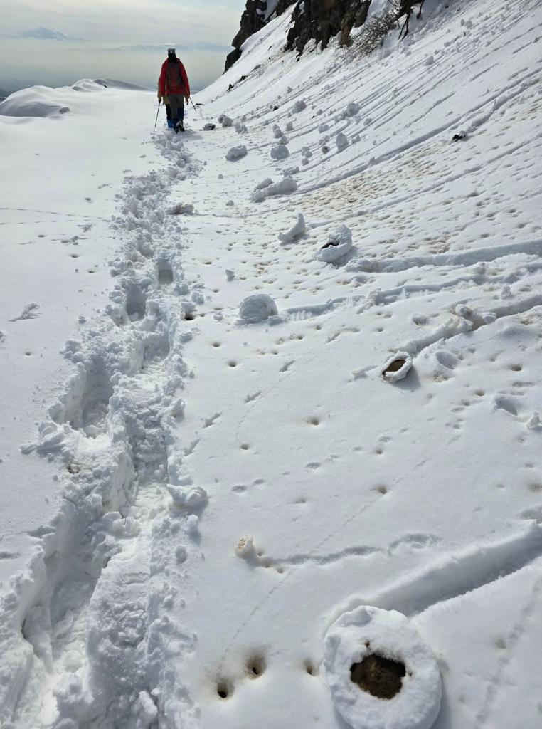
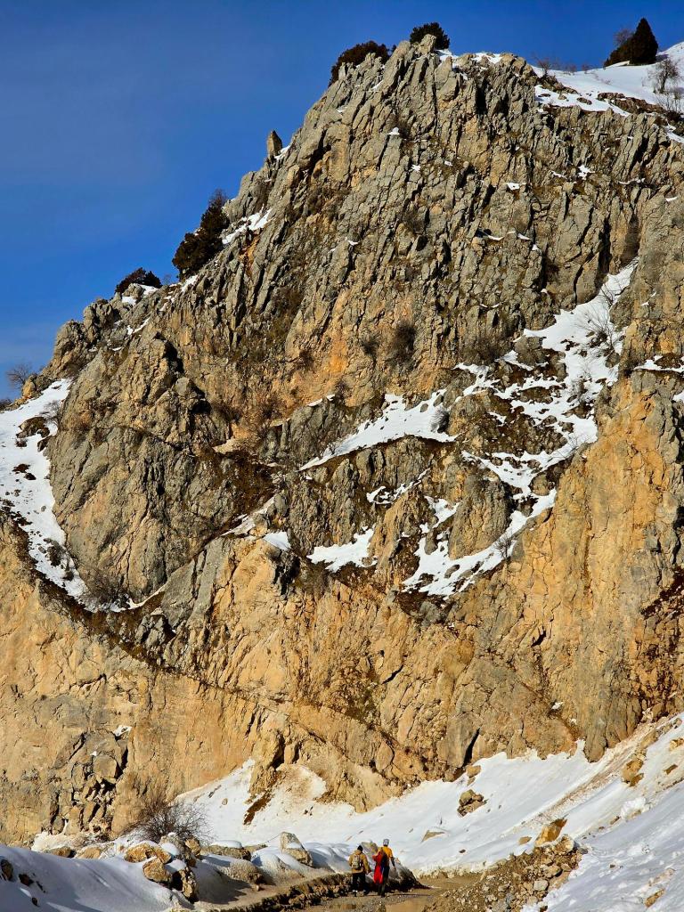
When we rounded onto the shaded northern side of the mountain, everything changed. The snow deepened abruptly, and every step punched knee-deep postholes into the soft surface. Progress slowed to a crawl. We passed the seven-kilometer mark, and by the time we hit ten kilometers, it became clear that Varzob Peak wasn’t going to happen that day.
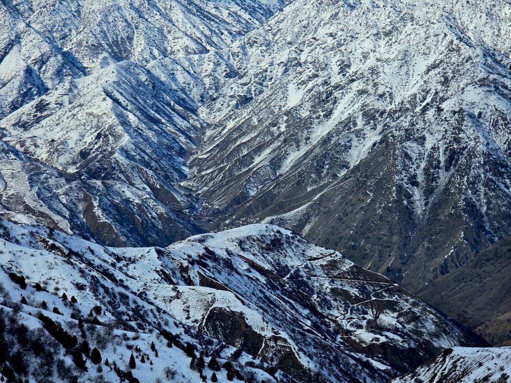
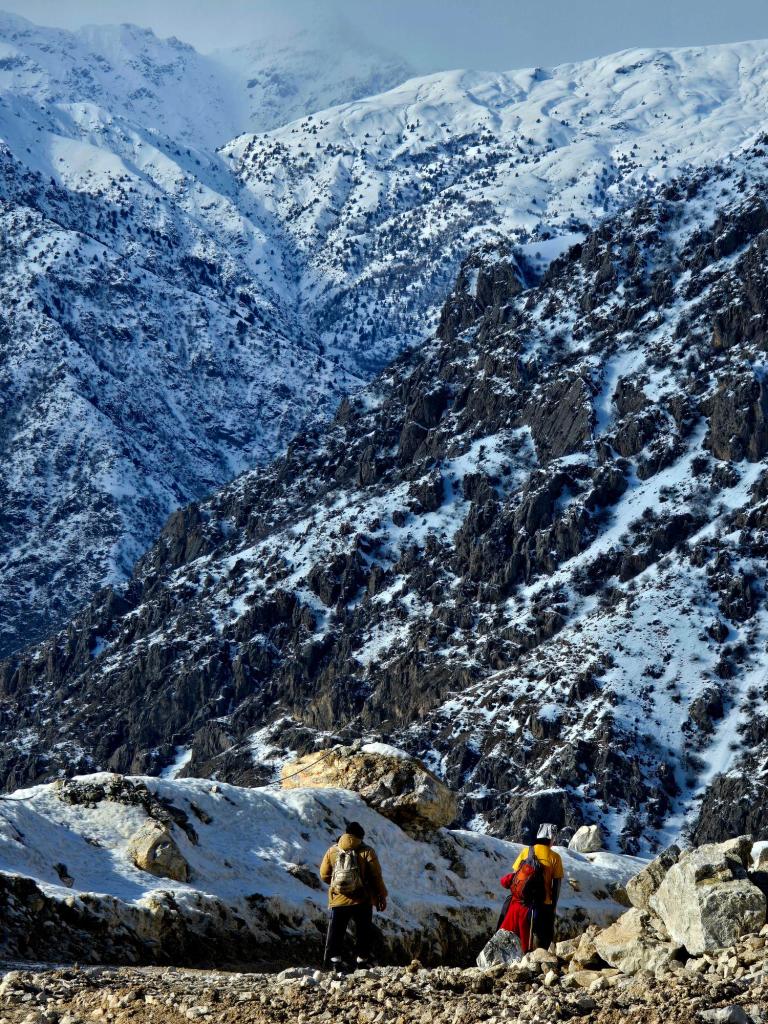
The summit sat in clear view—close enough to feel attainable, yet still several kilometers away, with another 500–700 meters of elevation gain standing between us and the top.
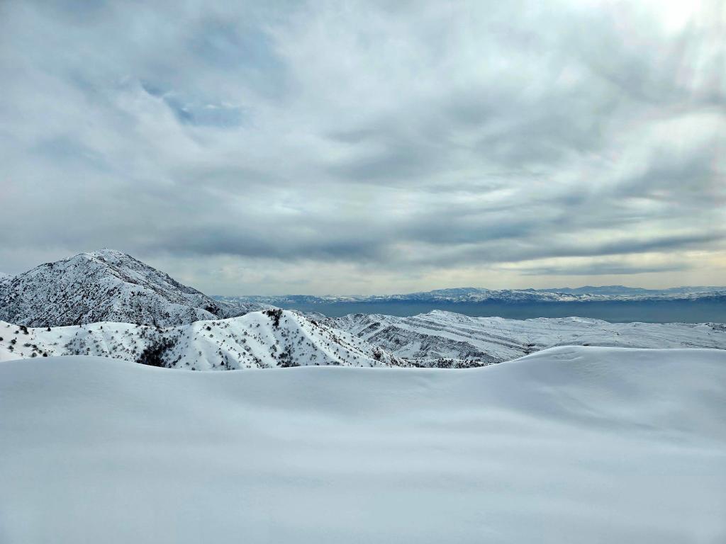
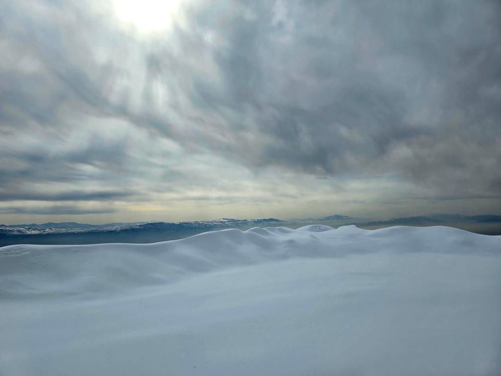
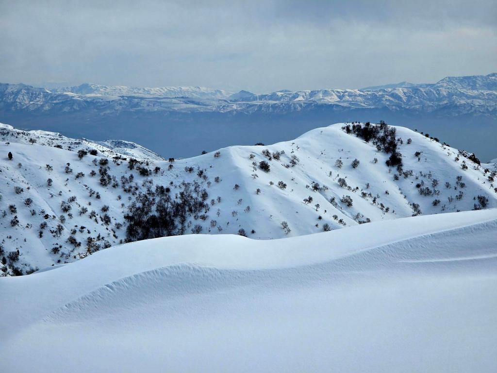
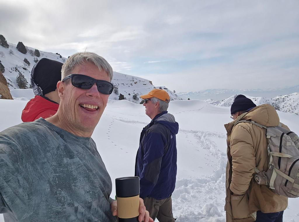
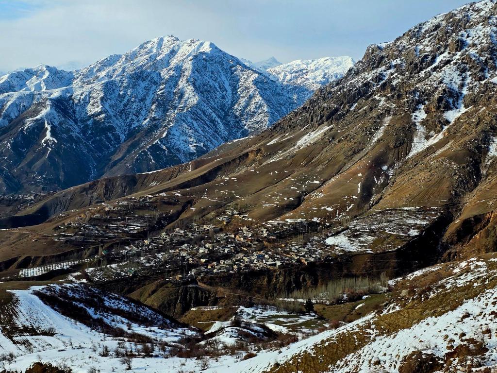
We stomped out a small platform in the snow, spread a tablecloth, and laid out our food. Hot tea and coffee steamed in the cold air as we sat and took in the view. Across the valley, layers of the snow-capped Hissar Range fanned out, sections disappearing into the clouds only to reemerge moments later. Behind us, the valley stretching west out of Dushanbe slowly filled with winter smog. I was grateful to be looking down on it rather than breathing it in.
By the time we finished eating, it was nearing 2 p.m., and we made the call to turn around.
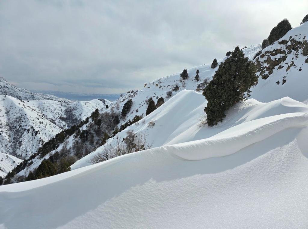
Descending was easier in some ways—we followed our own tracks—but my legs were already screaming. The constant high stepping through snow had worked muscles that don’t usually get called into action on a normal hike. As the sun softened the top layer, we began seeing snow rollers tumbling down the slopes above us—rocks breaking loose and collecting snow as they rolled, sometimes dropping out of the center and leaving behind perfect white rings. Snow donuts.
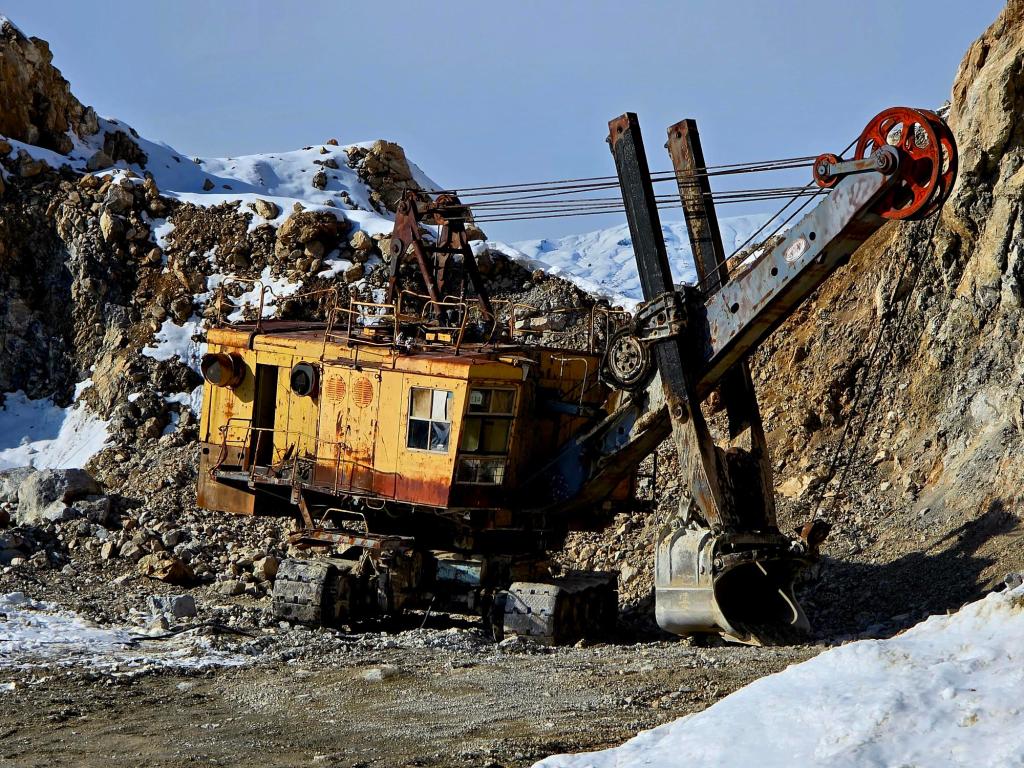
Back near the loading area, we noticed a strange excavator tucked behind a rocky ledge. Instead of a standard operator’s cab, it had what looked like an entire enclosed cabin attached. It felt oddly apocalyptic, like something you might stumble across at the end of the world.
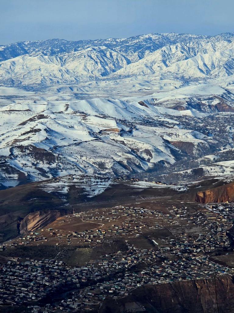
We continued down the dirt road as temperatures rose and snowmelt turned it into a flowing, muddy stream. Trucks kept stopping, drivers still offering us rides, always surprised when we declined. Rounding one bend, we caught a glimpse of a small village tucked on the far side of the mountain from Kharangon, with a much larger settlement stretched across a distant hillside.
A massive rock face loomed to our left, and the constant patter of falling stones urged us to move quickly past it. Farther down, a thunderous crash echoed above us. We looked up just in time to see fifteen or twenty large boulders tumbling down the slope, followed by hundreds of fist-sized rocks—a sharp reminder that these mountains are always moving.
The lower we descended, the heavier the water flow became, and the slicker the mud underfoot. Walking directly in the mud only caked it onto your boots, adding weight and making everything more slippery. Walking straight through the flowing water turned out to be the better option—cleaner soles and better traction on the rocks beneath.
Near the end, we took a shortcut, slip-sliding down a steep section of mud and shallow snow before popping back out onto the road just above the car. We chatted briefly with a man from the village who told us he mines lime for the cement plant above.
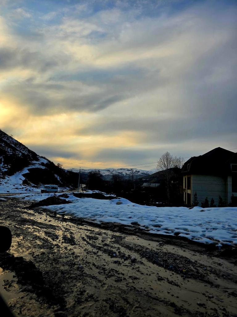
Back at the car, we dropped our packs, took a breath, and watched a beautiful sunset as we pulled away from Kharangon. All told, we covered roughly 12.5 miles with about 2,500 feet of elevation gain—eight hours on the mountain, six of them moving.
Final Thoughts
Varzob Peak didn’t happen this time, but that hardly felt like a failure. Winter hikes here have a way of reminding you who’s in charge, and turning around is often the smartest decision you can make. The mountain is still there, waiting for a clearer line, firmer snow, or a longer summer day.
And when the time is right, we’ll be back.

Leave a comment