🧭 Trail Stats
- 📏 Distance: 6.4 miles
- ⛰️ Ascent: 1,716 ft
- ⬇️ Descent: 1,729 ft
- ⏱️ Total Time: 6h 32m
- 🥾 Time Moving: 3h 23m
- ⚖️ Difficulty: Moderate
- 📅 Date Hiked: April 5, 2026
I’m feeling very grateful that I’ve fallen in with an amazing group of like-minded friends who are beckoned to the mountains every chance they get. Since returning from our winter break, I haven’t missed a weekend of getting out with them yet, and have thoroughly enjoyed exploring many new places that I would have otherwise probably not found.
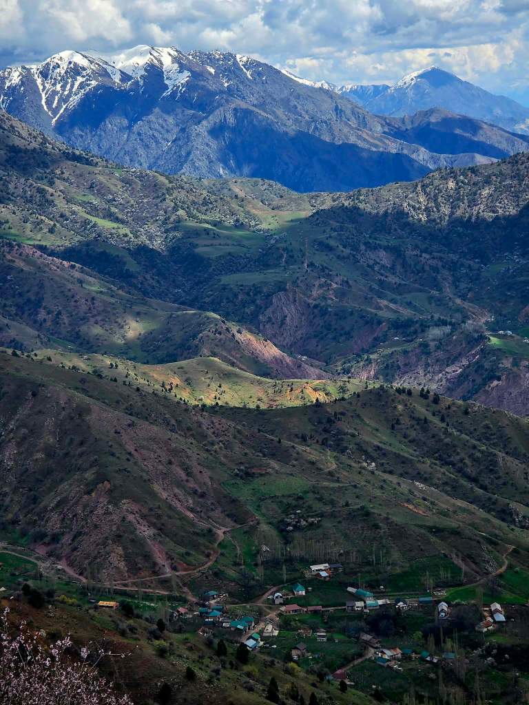
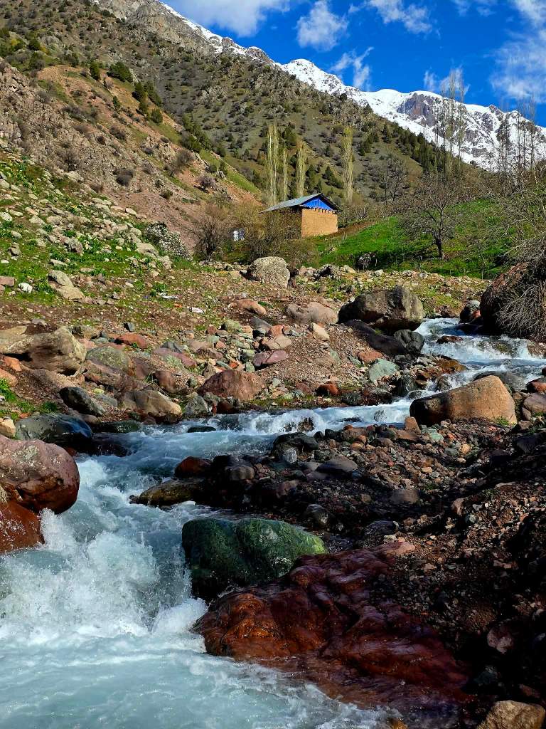
Last weekend’s outing took us west of the city into the Almosi area, following a dirt road that slowly traded pavement and traffic for scattered homes, grazing land, and eventually a quiet cluster of buildings tucked up against the base of the mountains. Our starting point sat just above the village of Kurmushkhona, in a place the locals refer to as Arjinak—a name that doesn’t show up on most maps, but clearly marks the transition point between cultivated land and the open foothills of the Hisor Range.
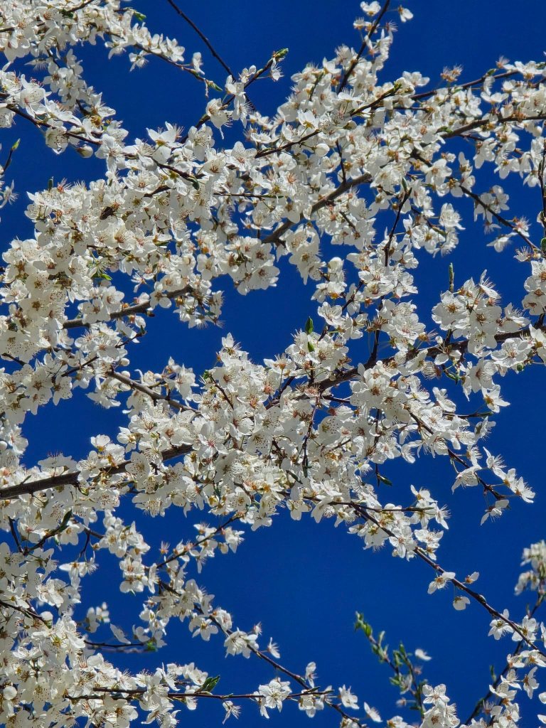
The first mile and a half followed a dirt road winding through orchards, where men were out working the land—pruning branches and shaping the trees for the coming season. It felt like spring in motion. The road climbed steadily, and with each step the ground grew softer, muddier, the snow having only recently retreated from these hills.
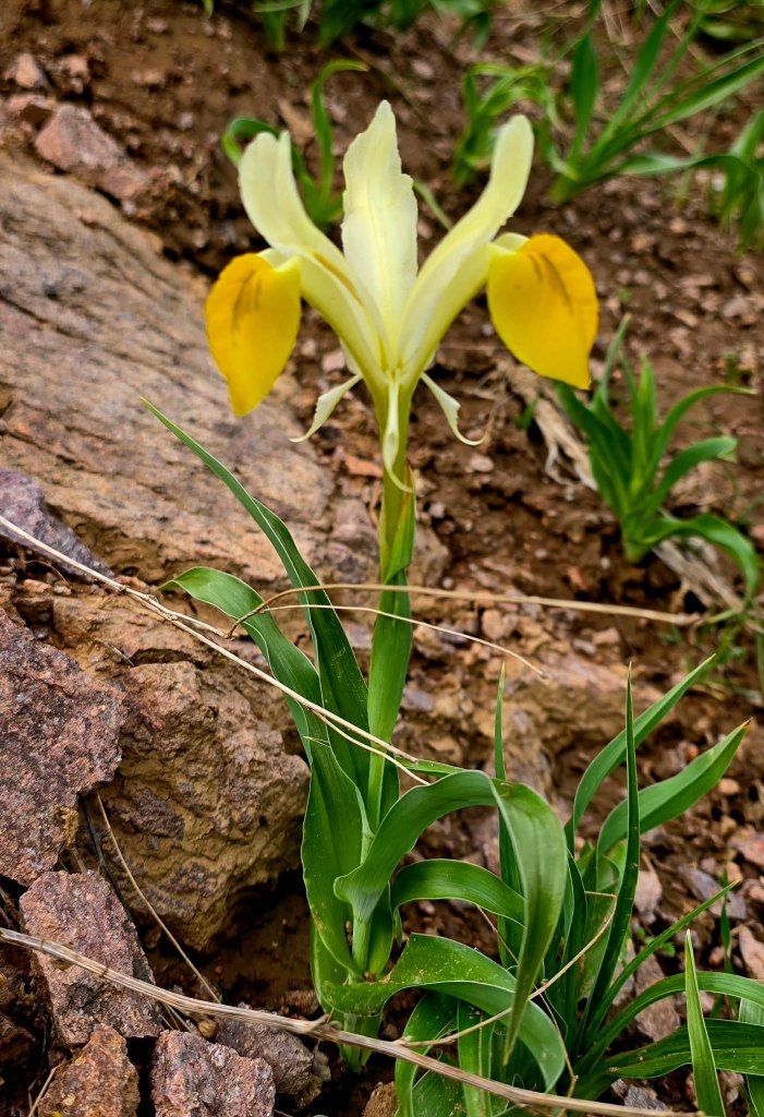
And yet, life was everywhere. Wildflowers had already taken over. Long stretches of hillside were blanketed in yellow and white lilies, spilling across the slopes in a way that made it hard to look anywhere else.
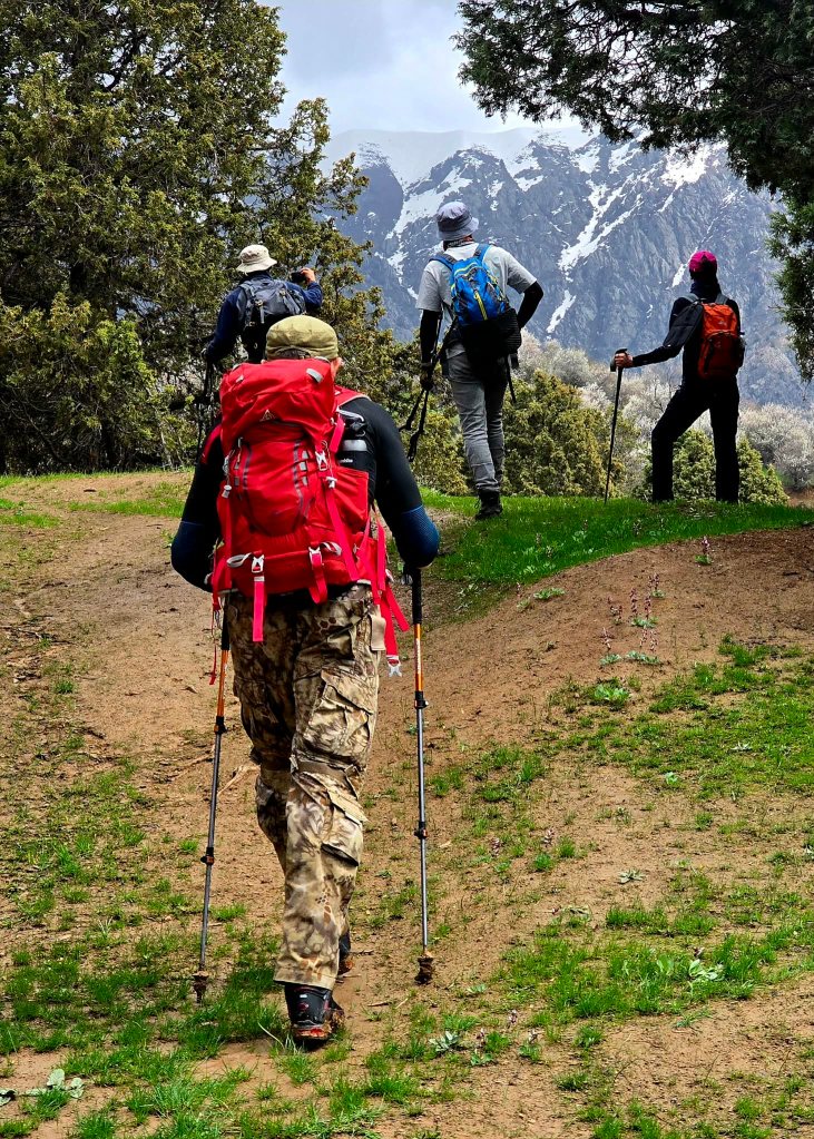
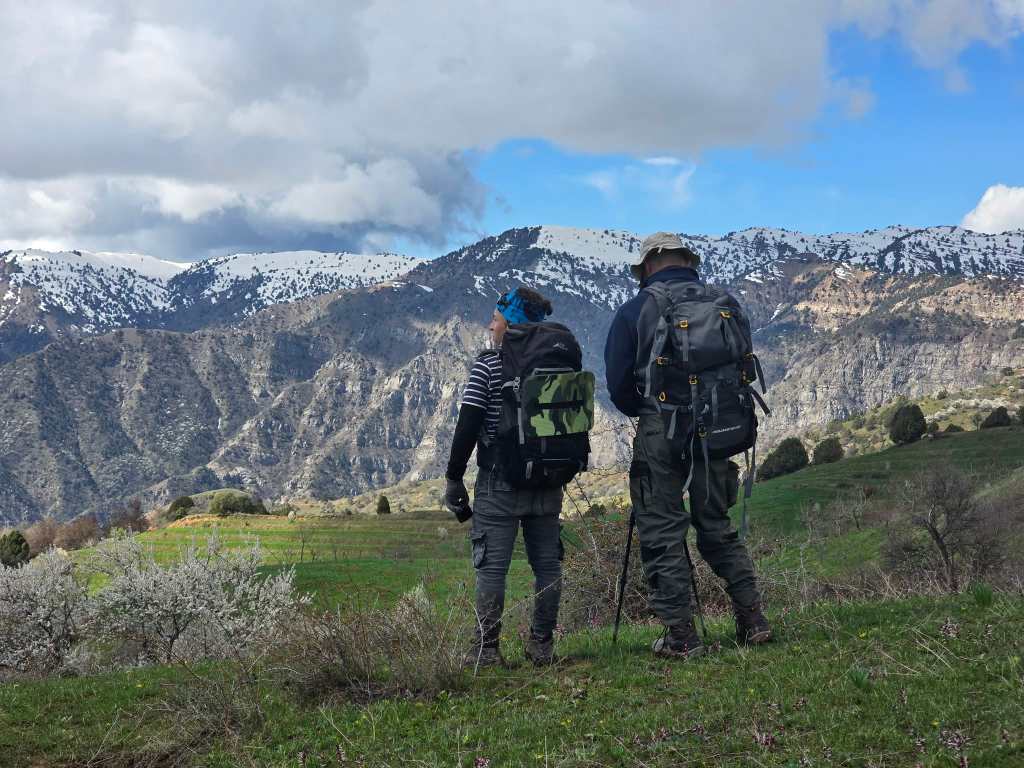
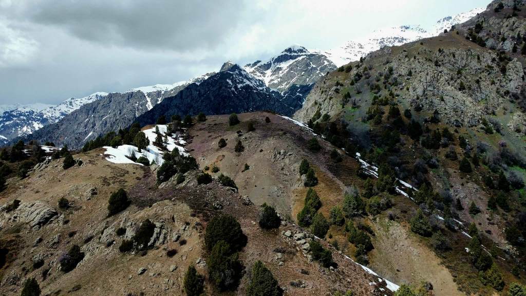
Eventually, we broke away from the road, picking up a network of sheep tracks that led us upward toward a hilltop. The climb steepened, but not for long, and before we knew it we were standing on a high point with views stretching in every direction.
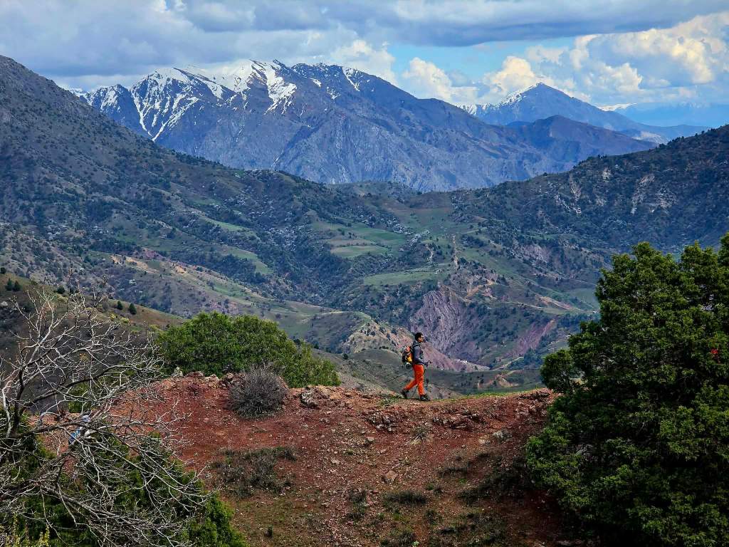
Not far off stood Mt. Kurmushkhon, a familiar sight. It was the first peak we had climbed after returning to Tajikistan earlier this year, though from a completely different angle. Seeing it from this side gave it a new character, as if we were being reintroduced.
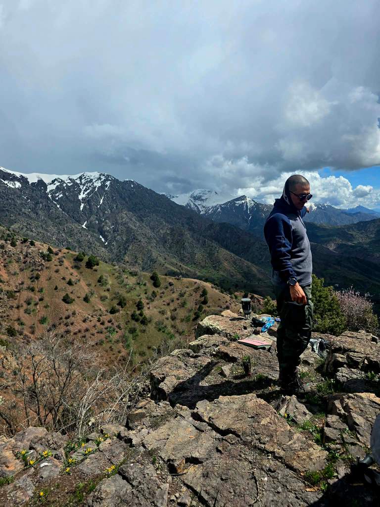
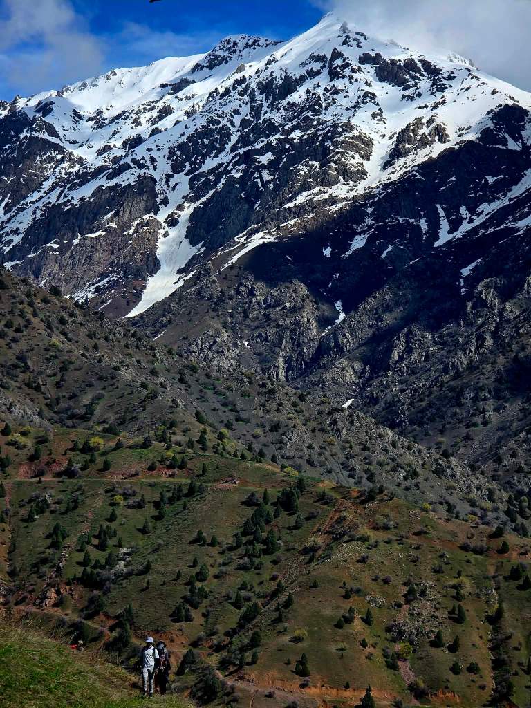
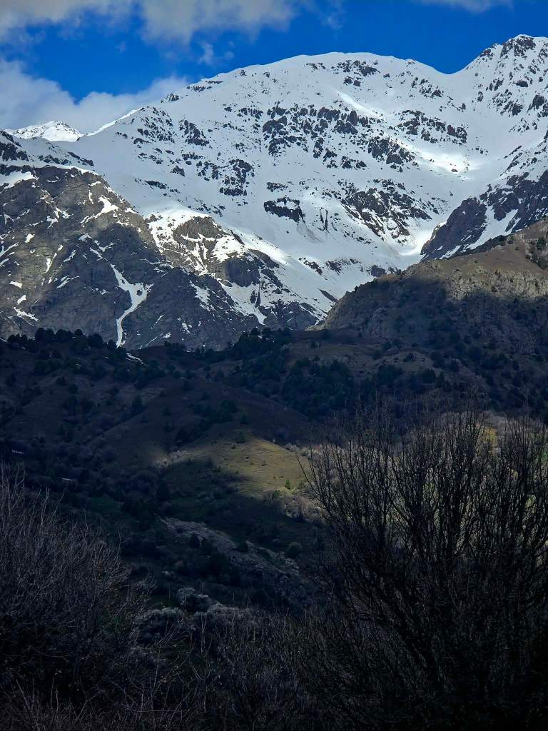
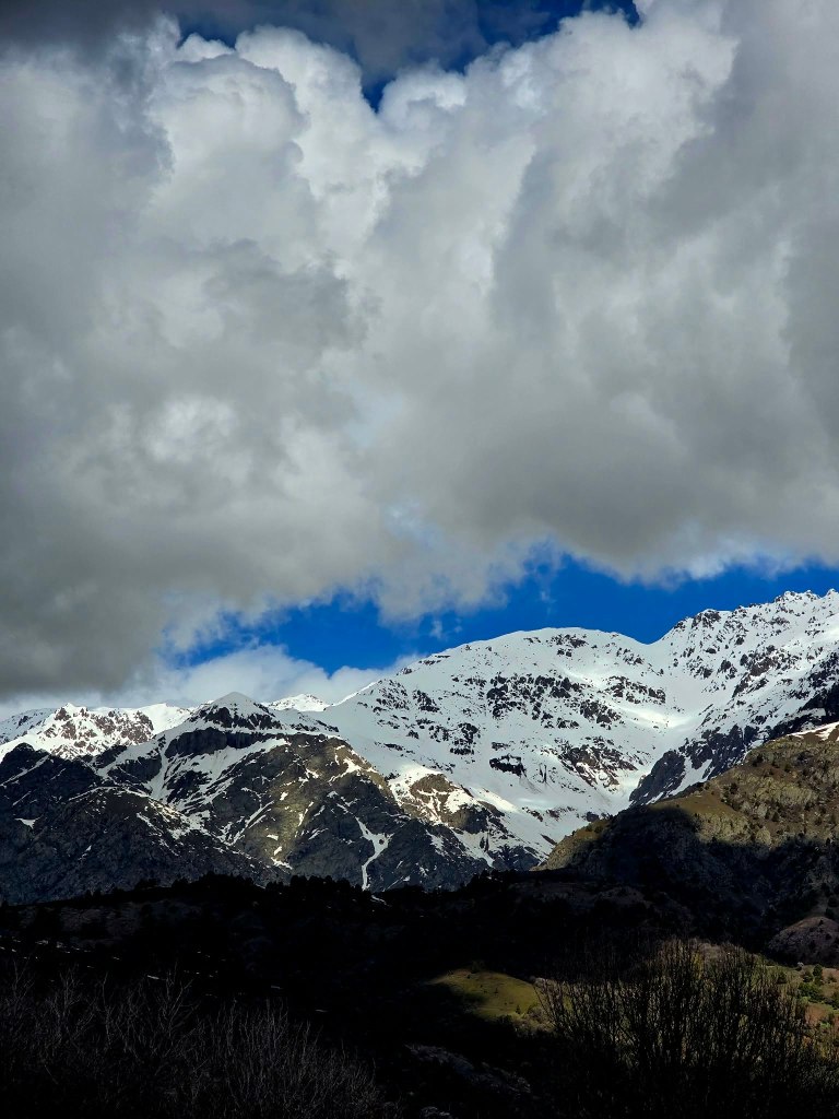
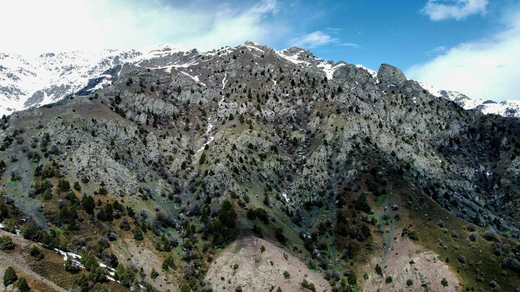
Turning the other way, the snow-capped southern flank of the Hisor Range rose sharply into the sky. It was one of those rare moments where you get the full picture—360 degrees of layered ridgelines, villages tucked below, and higher mountains still holding onto winter.
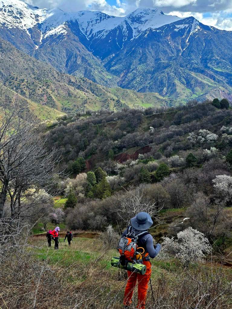
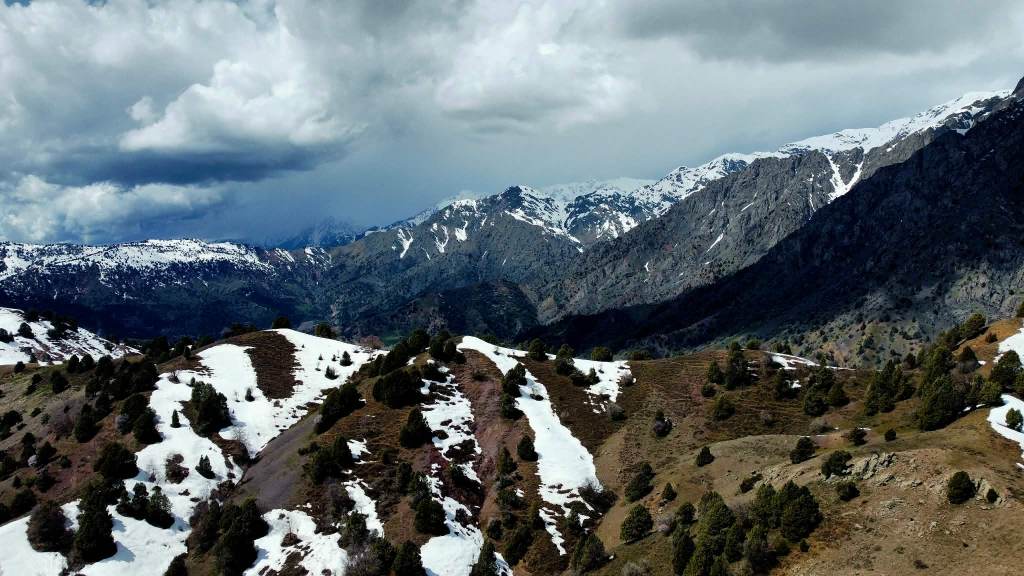
From there, we dropped down off the hill and angled toward a ridge that ran between us and those higher peaks. Once we reached it, the route became simple: follow the line and let it carry us back toward the village. The terrain rolled gently, rising and falling just enough to keep things interesting, but never forcing the issue.
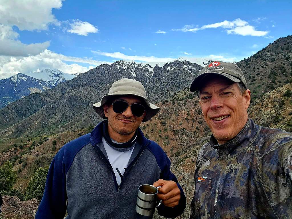
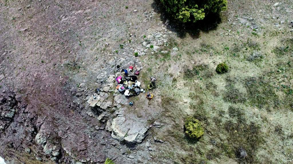
At the far end of the ridge, we came across a rocky outcropping that felt like it had been waiting for us. Packs came off, a tablecloth appeared, and just like that we were settled in for a proper feast. Nine of us spread out across the rocks, unloading everything we had brought—bananas, apples, cookies, chocolate bars, nuts, bread, cheese and crackers, and a spread of spiced sheep fat with raw onions that somehow tasted even better up there in the open air. The stove came out, and soon enough we had both green and black tea making the rounds.
A couple hundred feet below us, tucked deep into a ravine, a waterfall revealed itself. Even from above we could tell it had some size to it—probably around 40 meters or so—dropping cleanly down into the narrow cut below.
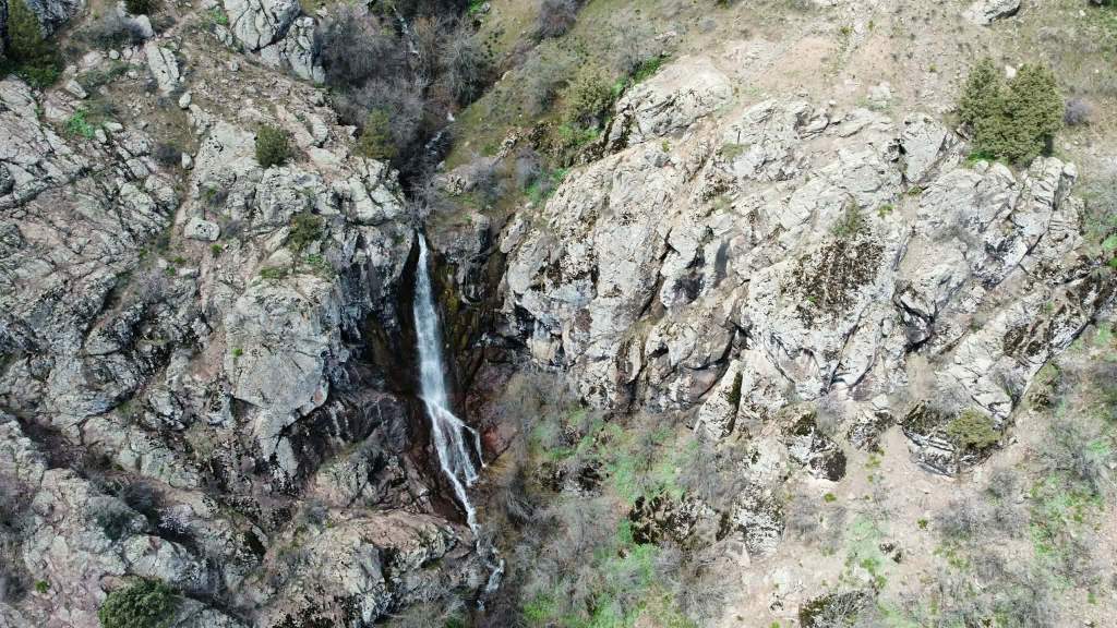
After eating, curiosity got the better of us and we made our way down the steep slope to get a closer look. The descent was loose in spots, but manageable, and before long we were standing near the base of the falls. Bakha didn’t hesitate, going in for a quick, refreshing dip while the rest of us explored the surrounding rock formations.
From there, we climbed up the opposite side of the ravine and stumbled upon a cave entrance tucked into the hillside. A few of the group switched on their headlamps and disappeared inside, their lights slowly fading into the darkness. The rest of us hung back. The ground in this region has a tendency to move more than you’d like—I had felt the tremor just a couple nights before, a magnitude 6.0 centered somewhere in Afghanistan but strong enough to send the lights and chandeliers swinging back home. It didn’t take much convincing for me to stay outside and enjoy the fresh air.
Once everyone regrouped, we picked up a series of animal tracks that led us back in the direction of the village, which soon came back into view below us. Before long, those tracks turned into a solid single-track trail that guided us down to a dirt road for the final stretch.
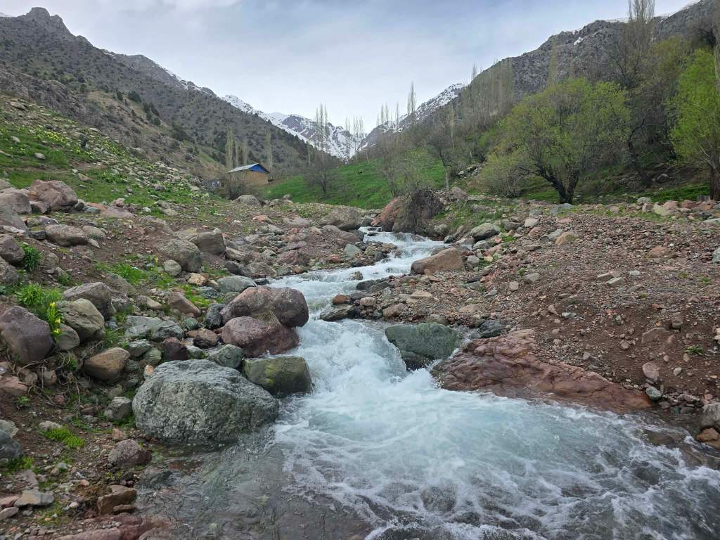
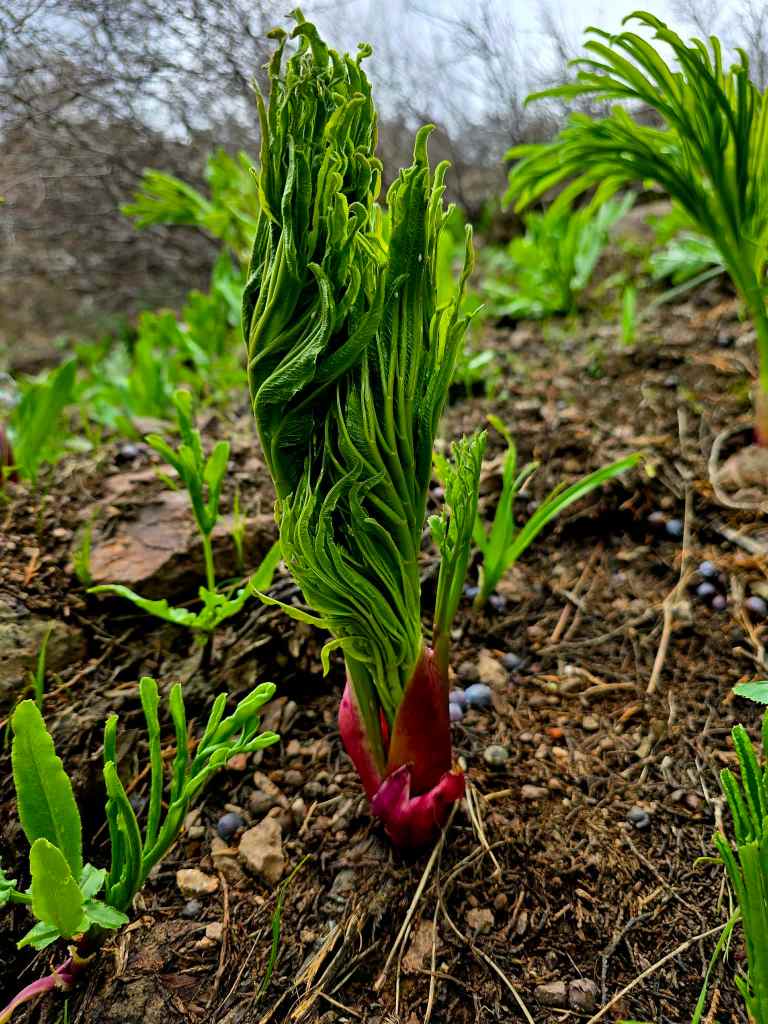
The hills were alive again as we descended—wild rhubarb pushing up through the ground, flowers scattered everywhere, cows roaming freely, and local families making their way up into the hills for late afternoon walks. We crossed a small bridge over a fast-flowing river and stepped back into the village, the loop complete.
It wasn’t the tallest peak or the longest hike, but it didn’t need to be. This was one of those days built on movement, good company, and the kind of places that don’t show up on maps.
Right where the fields end, and the mountains quietly take over.

Leave a comment