🧭 Trail Stats
📏 Distance: ~6 miles round trip (estimated)
⬆️ Elevation Gain/Loss: ~1,200–1,500 ft
⏱ Time Out: 5.5 hours (≈3 hours moving)
🥾 Route Type: Dirt road + optional singletrack loops
🌿 Season: Spring
📅 Date Hiked: April 12, 2025
⚖️ Difficulty: Easy to Moderate (depending on route choices)
Last spring, I headed up into the Luchob area for the first time. It sits just north of Dushanbe, close enough to feel convenient, but far enough to quickly leave the city behind.
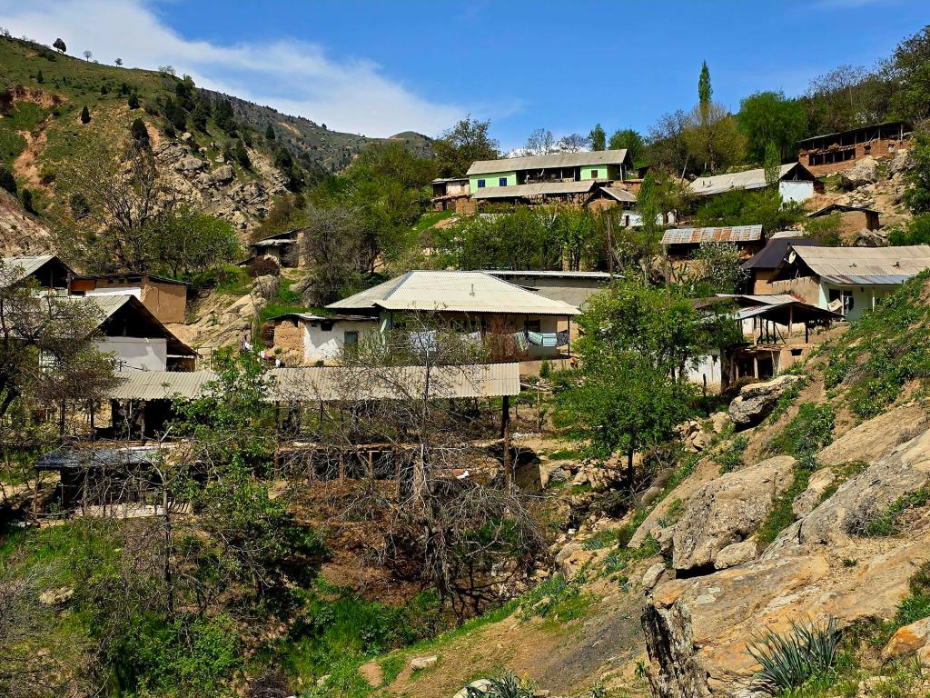
A couple of kilometers before reaching Luchob, a road cuts off to the right. There’s a house not far from the turn-off and some shaded parking on the left side of the road — the kind of unofficial trailhead you only really notice if someone points it out to you. We left the car there and walked the final couple of kilometers up the dirt road toward the small hillside settlement of Saiyod.
Saiyod (Сайёд) means “hunter” in Tajik — and from what I was told, the name still fits. Wild boar and birds move through these hills, and while nobody was offering up detailed stories, there was a sense that hunting remains part of life here.
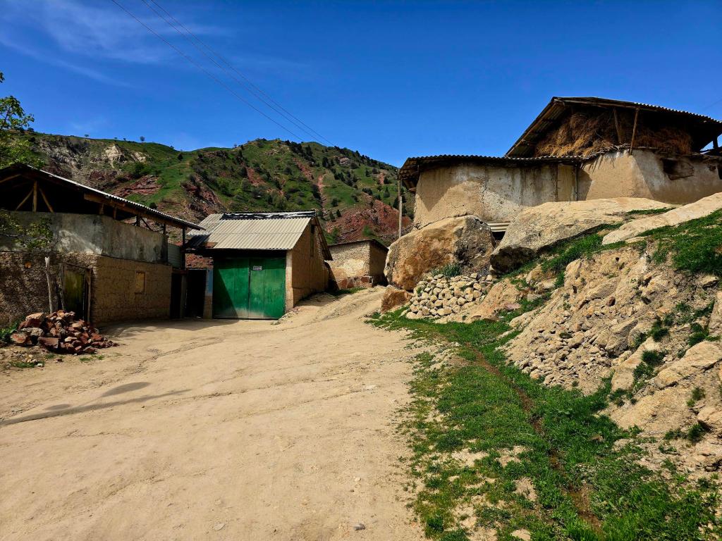
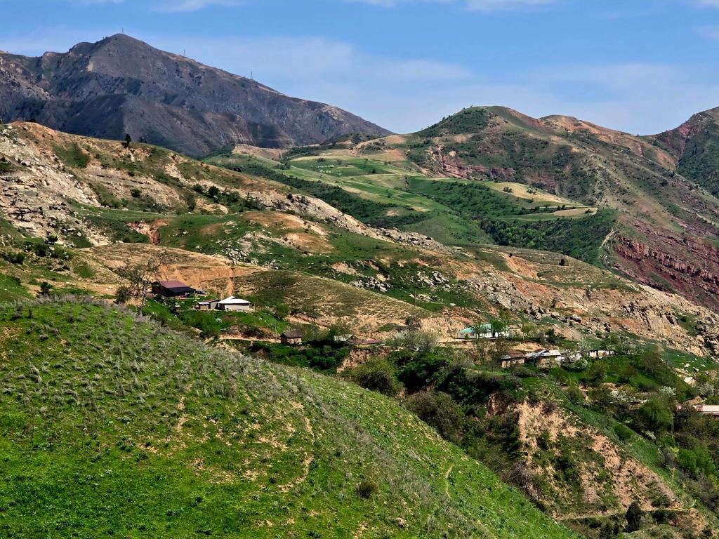
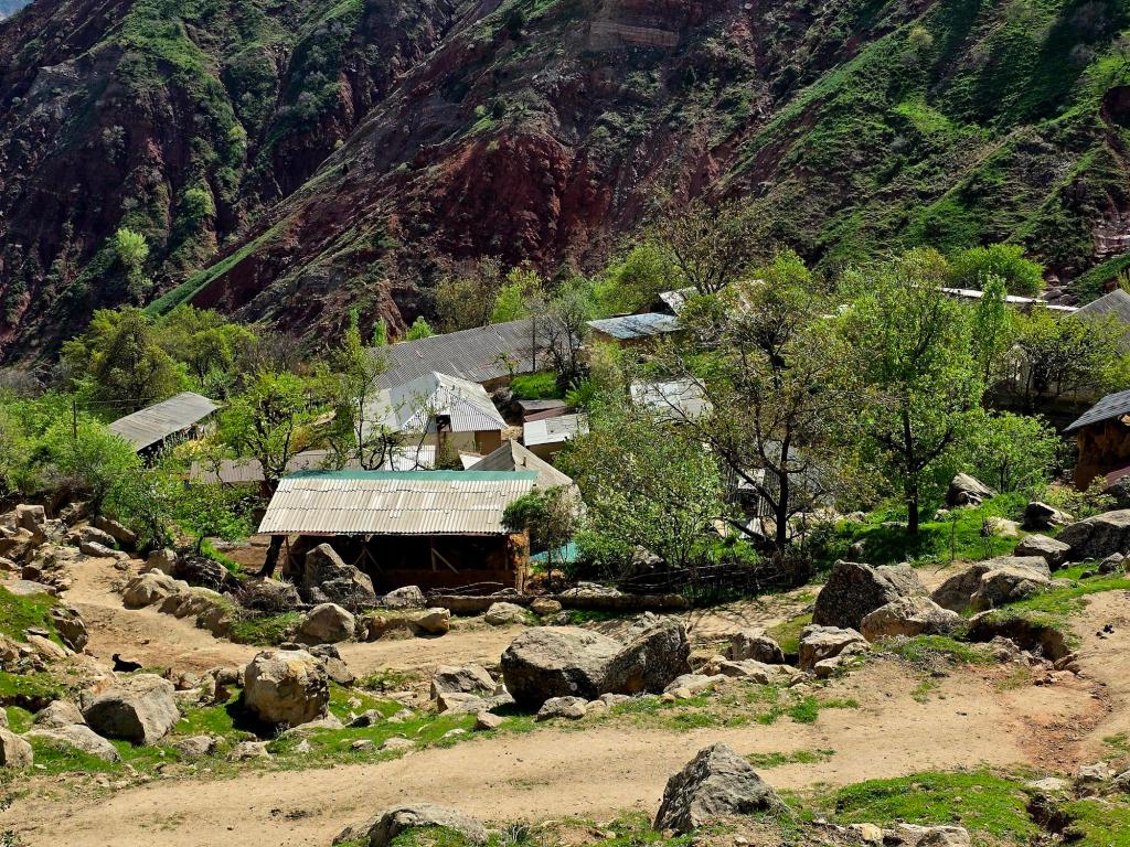
The settlement itself appears to have 30–40 homes scattered along the slope. Garden plots climb the hillsides, stone walls trace property lines, and livestock graze just above the rooftops. It feels like subsistence farming still shapes daily rhythms here. You don’t pass through unnoticed — but you are greeted with the usual curious glances and nods.
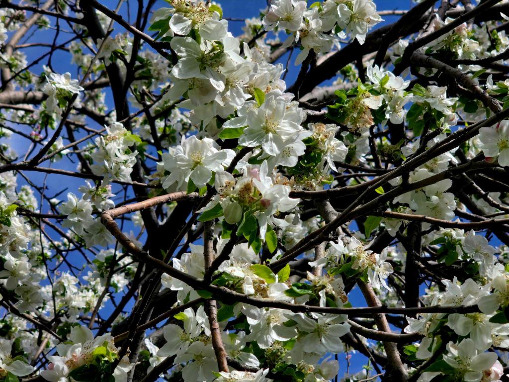
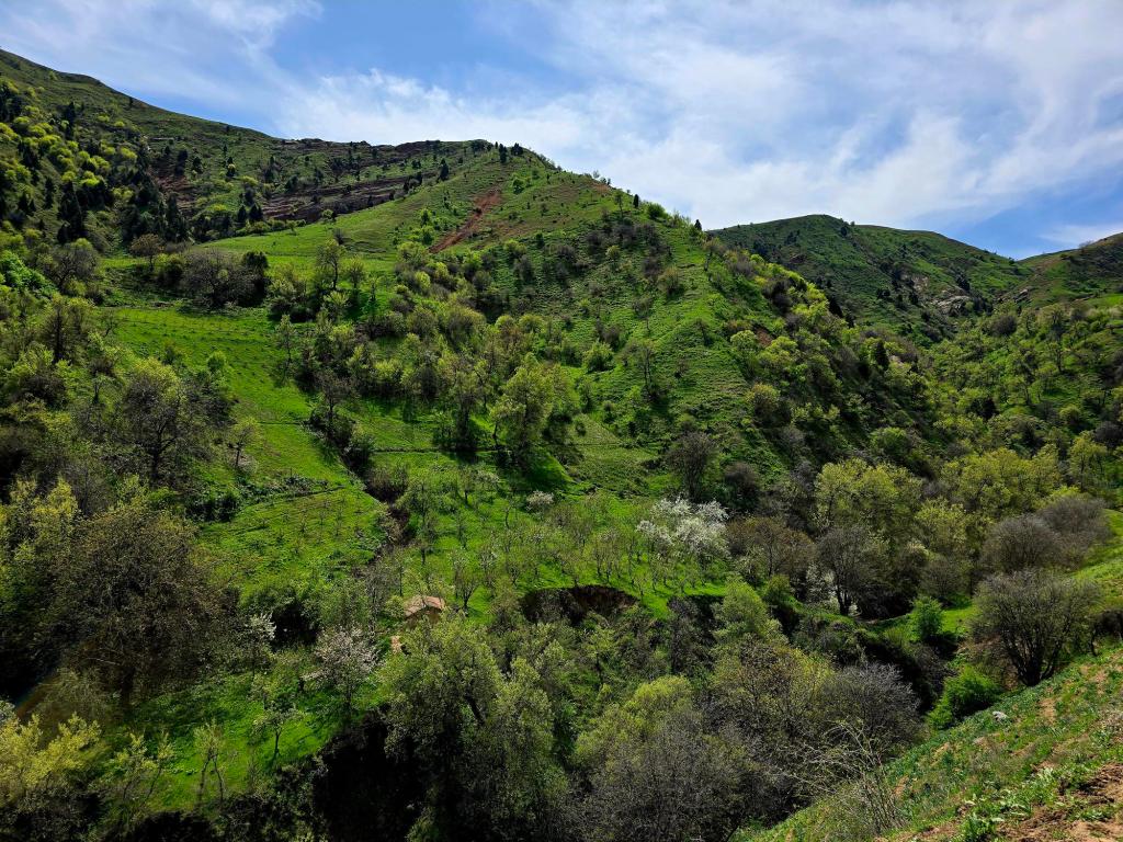
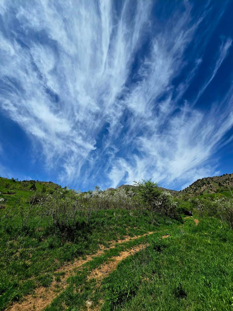
Spring is the time to do this hike. The hills roll outward in a carpet of bright green grass. Fruit trees bloom in soft whites and pinks. Wildflowers dot the slopes. After months of winter browns and grays, the color feels almost exaggerated.
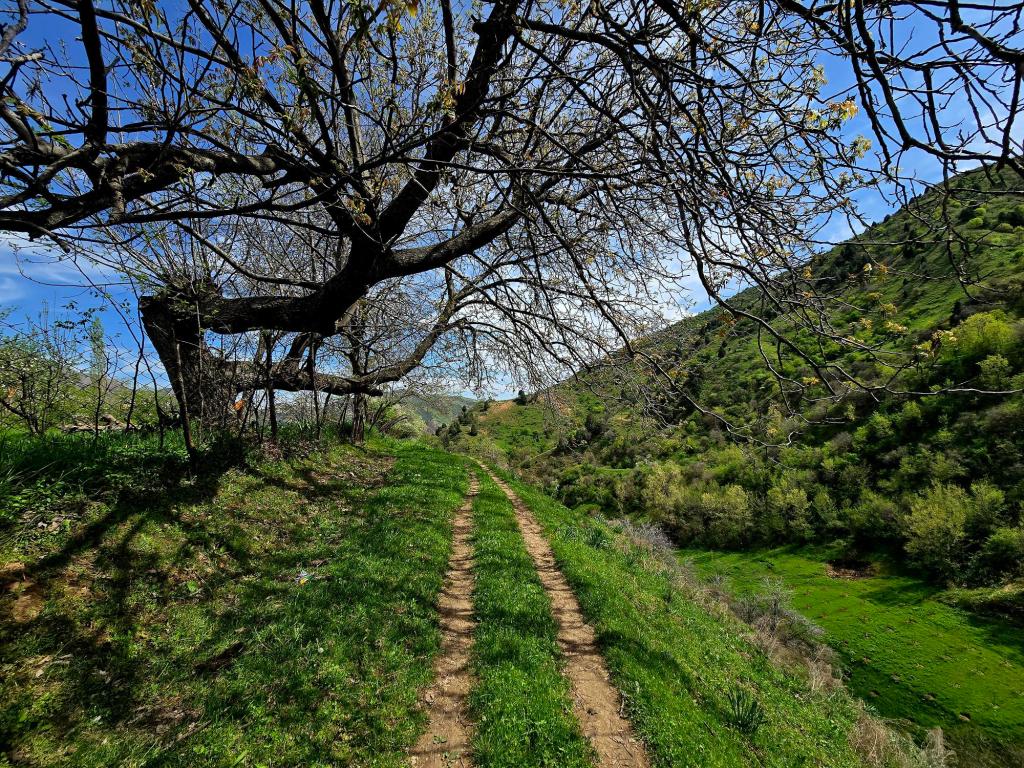
At the entrance to the village stand two massive, ancient trees — the kind that seem to anchor a place in time. Pass them and follow the dirt road as it switchbacks steadily upward through the homes and then climbs above the village entirely. Once you gain that first bit of elevation, the views begin to open.
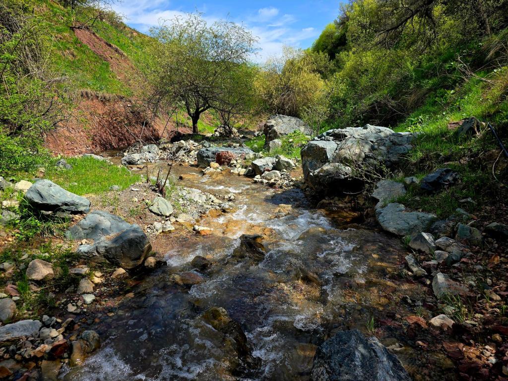
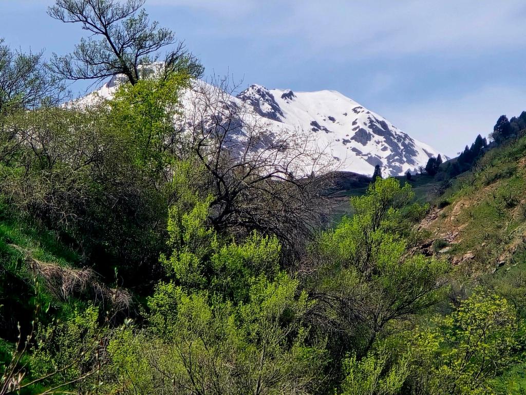
This is one of those choose-your-own-adventure routes. You can follow the main dirt road higher into the hills for as long as your legs feel good. Side trails split off in several directions. One option trends upward toward Etheridge Line, where broader views begin to open toward Surkhnu Mountain — better known locally as Red Mountain. Another option keeps you on the main road as it bends into a shallow valley toward what looks like the last outlying house, before picking up singletrack that loops down to a small stream and eventually curls back toward the village.
We weren’t tracking stats that day, but based on experience, the outing was likely around six miles with somewhere between 1,200 and 1,500 feet of gain and loss. We were out for about five and a half hours, though only walking for three. The rest of the time was spent lingering — talking, scouting future lines toward Red Mountain, and simply enjoying being out in green hills again.
If you’re looking for a fairly easy spring route close to the city, this is a great nearby walk. It offers open hills, flexible mileage, and a quiet glimpse into village life tucked just above the Luchob corridor.
And in April, when the grass is bright and the orchards are blooming, it’s hard to beat.

Leave a comment