🥾 Trail Stats
- 📍 Location: Shirkent, western Tajikistan
- 🥾 Distance: 5.5-mile loop
- ⛰️ Elevation Gain: ~1,900 ft
- ⏱️ Time: ~5 hours total (≈3 hours moving)
- ⚖️ Difficulty: Easy
- 🗓️ Date Hiked: March 9, 2025
- 🍂 Season: Spring / Fall ideal
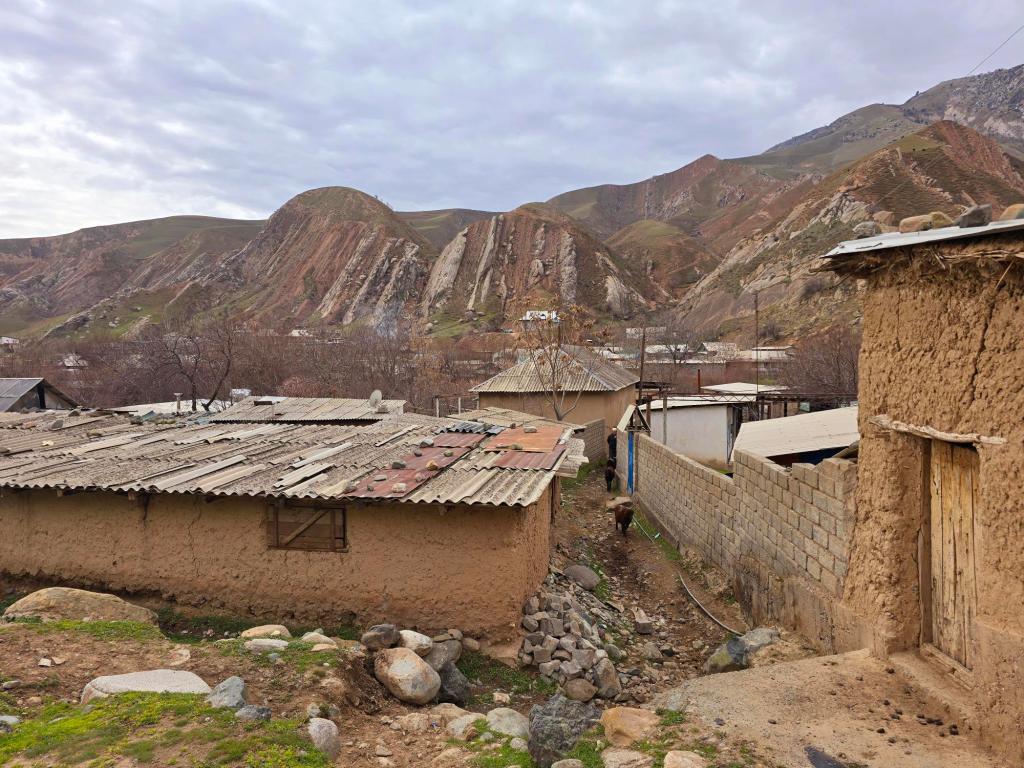
Other than the Timurdara hike, our trip out to Shirkent marked the first time we had really ventured straight west from Dushanbe. About an hour and fifteen minutes from the city—and roughly ten kilometers before the Uzbek border—we pulled into the small village of Shirkent. Almost immediately, it was clear that this place had a distinctly different feel from the valleys we were used to hiking.
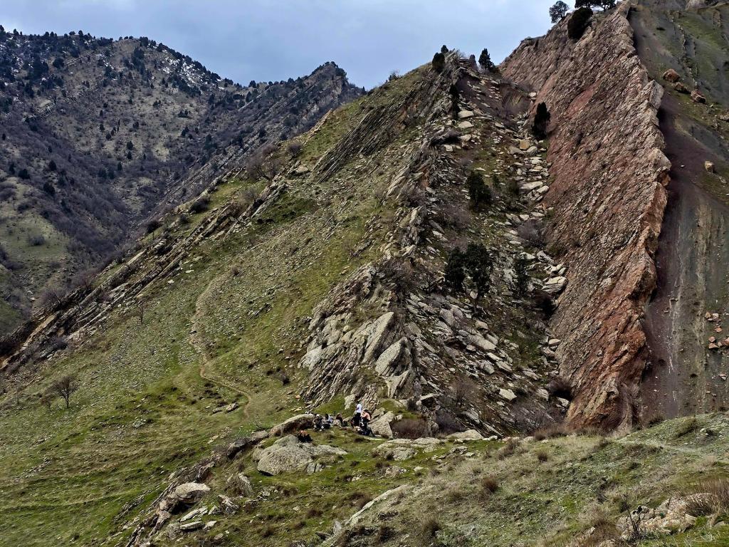
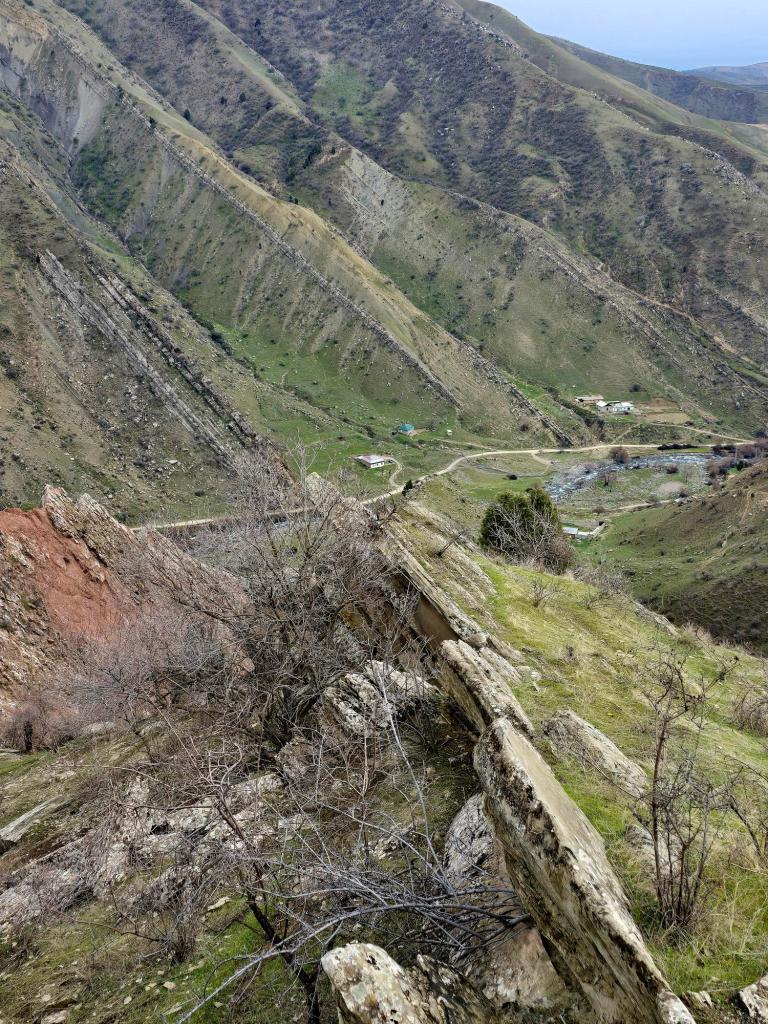
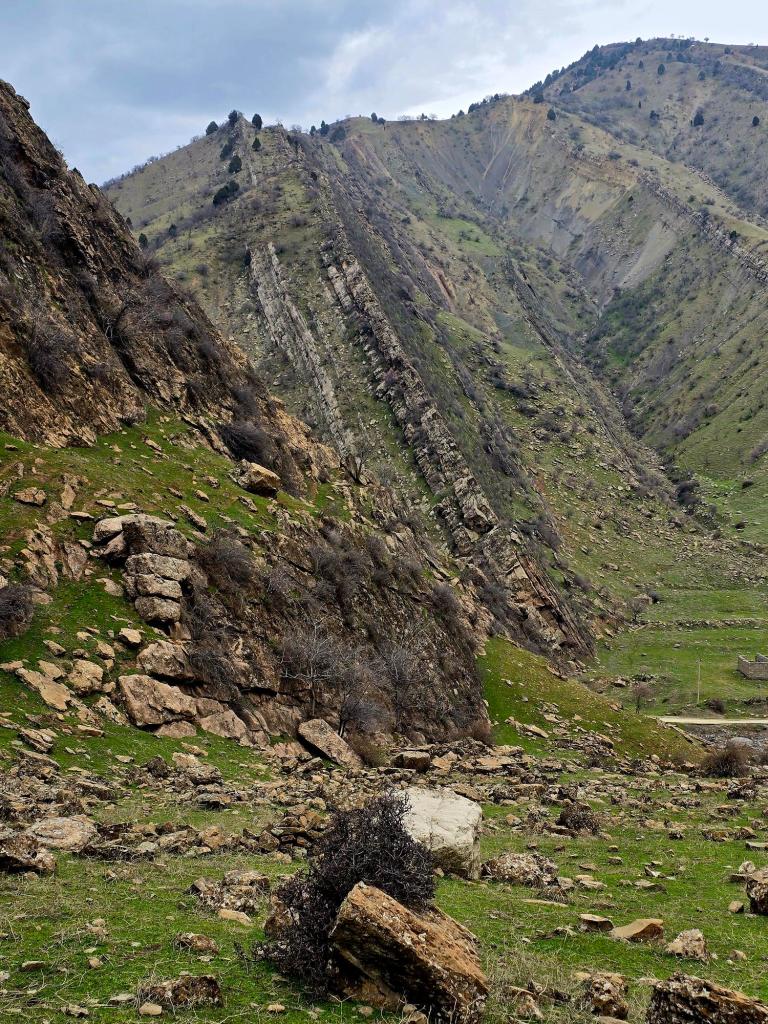
The geology around Shirkent is impossible to ignore. These mountains aren’t built of gentle slopes or rounded ridges. Instead, entire layers of rock stand tipped steeply on end—ancient sediments folded and lifted until they resemble stone pages lining the hillsides. Long before these mountains existed, these rocks were laid down flat in seas, river plains, and coastal environments that have long since disappeared. As Central Asia was compressed and uplifted, those layers were pushed skyward, and the Shirkent River eventually cut straight through them, exposing dramatic cross-sections of tilted limestone and shale.
This same geological story explains why Shirkent is home to one of Tajikistan’s most famous paleontological sites. A few miles farther up the valley, dinosaur footprints cover a cliff face high above the valley floor. Those tracks were left when this area was flat, muddy ground—likely along a riverbank or coastal plain. Over time, the sediments hardened into limestone, and later tectonic forces thrust those surfaces upward. What was once ground underfoot is now a vertical wall of stone, frozen mid-stride.
These mountains were built slowly—but not quietly. The folds around Shirkent didn’t rise in a single violent moment. Instead, they formed over millions of years as steady tectonic pressure compressed the region. That pressure, however, was released in countless earthquakes, each one tightening folds and nudging the mountains a little higher. Individual events may have shifted rock layers by only centimeters or meters, but stacked together over immense spans of time, they created the sharp, angular landscape we see today. Fittingly, there was some noticeable shaking late yesterday afternoon—another reminder that the forces shaping this region are still very much alive beneath our feet.
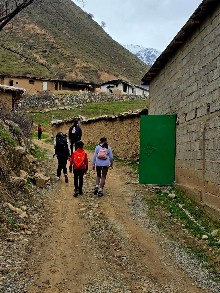
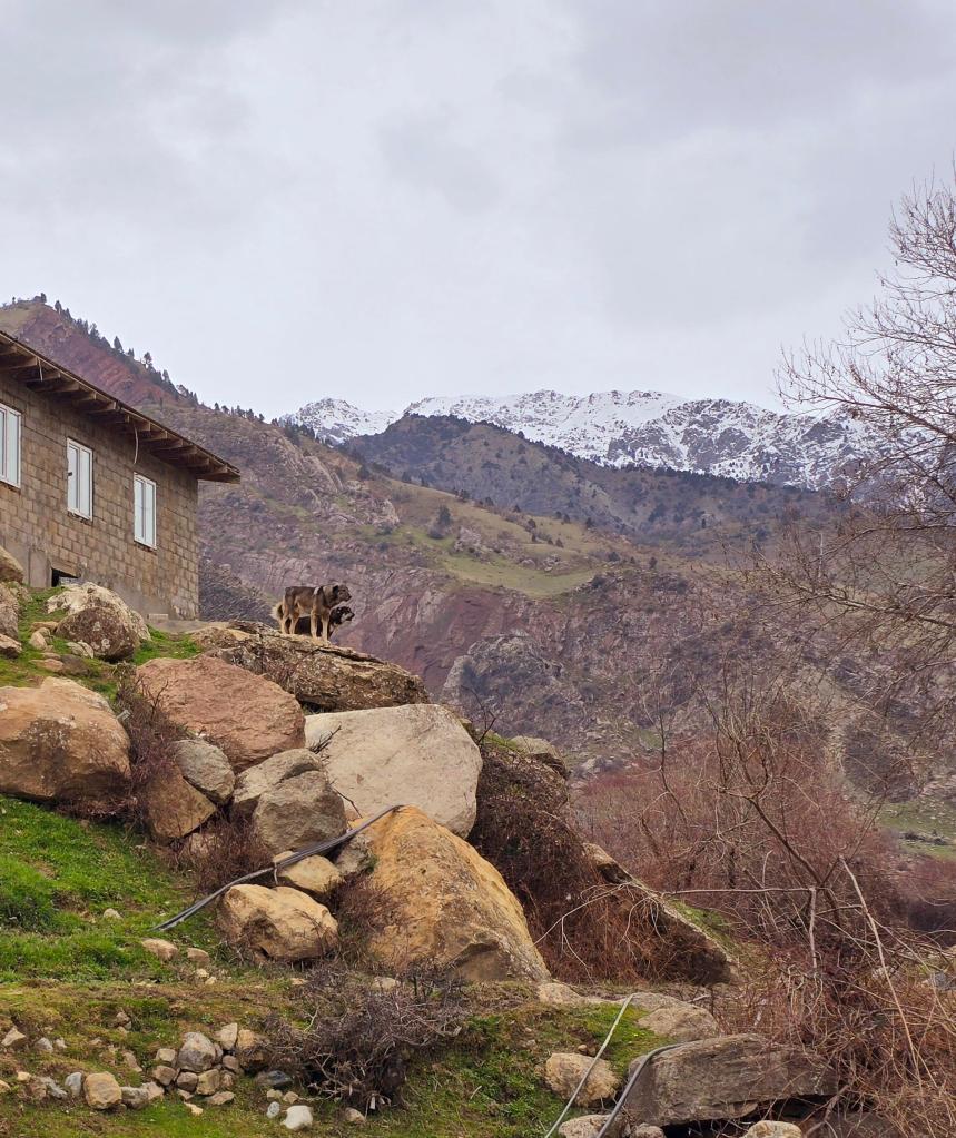
We parked the cars and set off on foot through the village. Following the river, we soon found a low footbridge and crossed to the opposite bank. Passing the last houses, we were briefly greeted by a few curious dogs before the village gave way to open slopes and rock walls. We continued along the base of the mountains for a mile or two before beginning our climb.
Our route cut up through a narrow gorge, climbing roughly 1,200 feet via steep, shortened switchbacks. A sharp ridgeline jutted out along our right-hand side, one of many such spines that define this landscape. These ridges seem to be the toughest pages in Shirkent’s geological book—the layers that refused to crumble despite countless seismic jolts and millions of years of erosion.
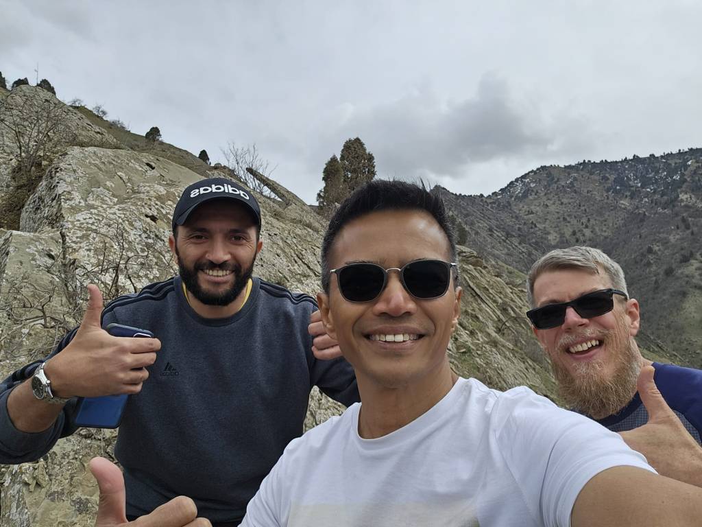
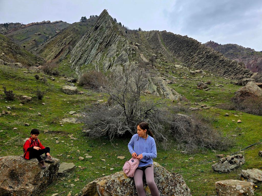
Eventually, we reached a grassy bench overlooking the valley, with views stretching toward higher, snow-capped peaks in the distance. We stopped here for lunch. Some of our group opted to relax and enjoy the scenery, while the rest of us decided to follow one of those rocky spines farther uphill. An hour later, we stood on top of the ridge itself, balanced above folded stone, with the weight of deep time layered beneath our boots.
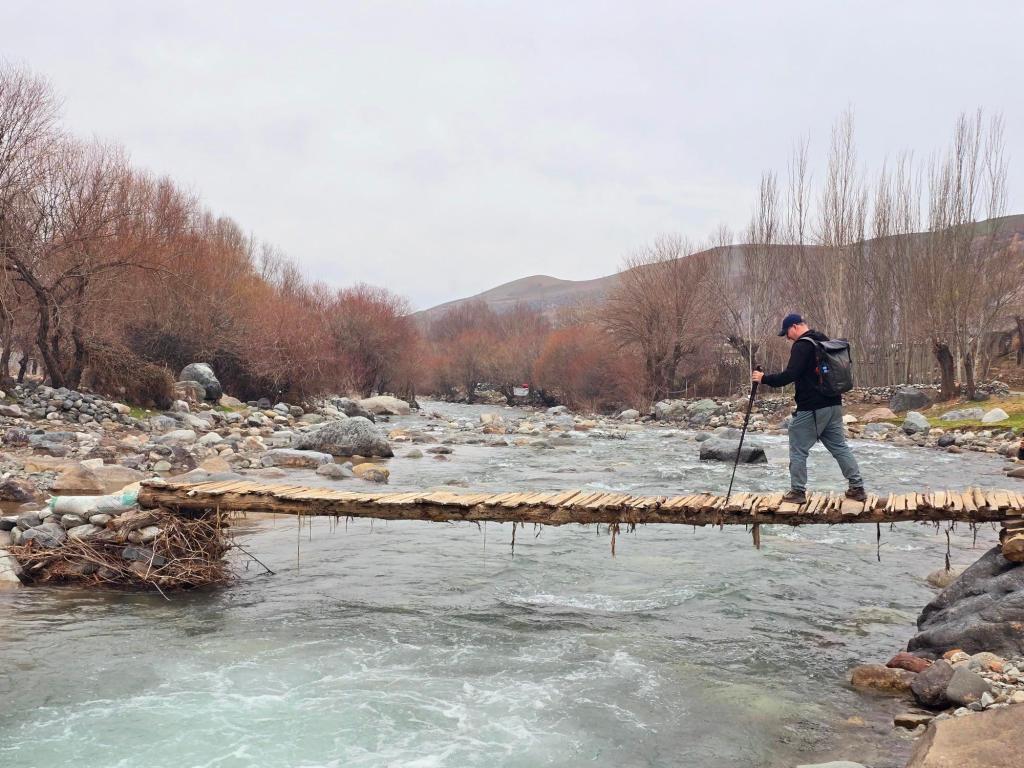
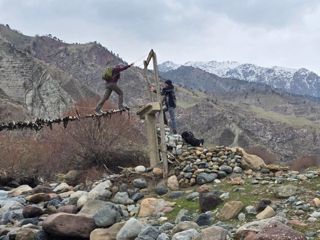
From there, we descended to regroup before continuing our loop back toward the valley floor. Partway down, we crossed another small river flowing out of the mountains, feeding into the Shirkent River below. The return hike followed the main river back toward the village, where we spotted a second bridge—this one higher above the water than the crossing we’d used earlier.
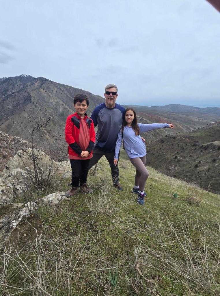
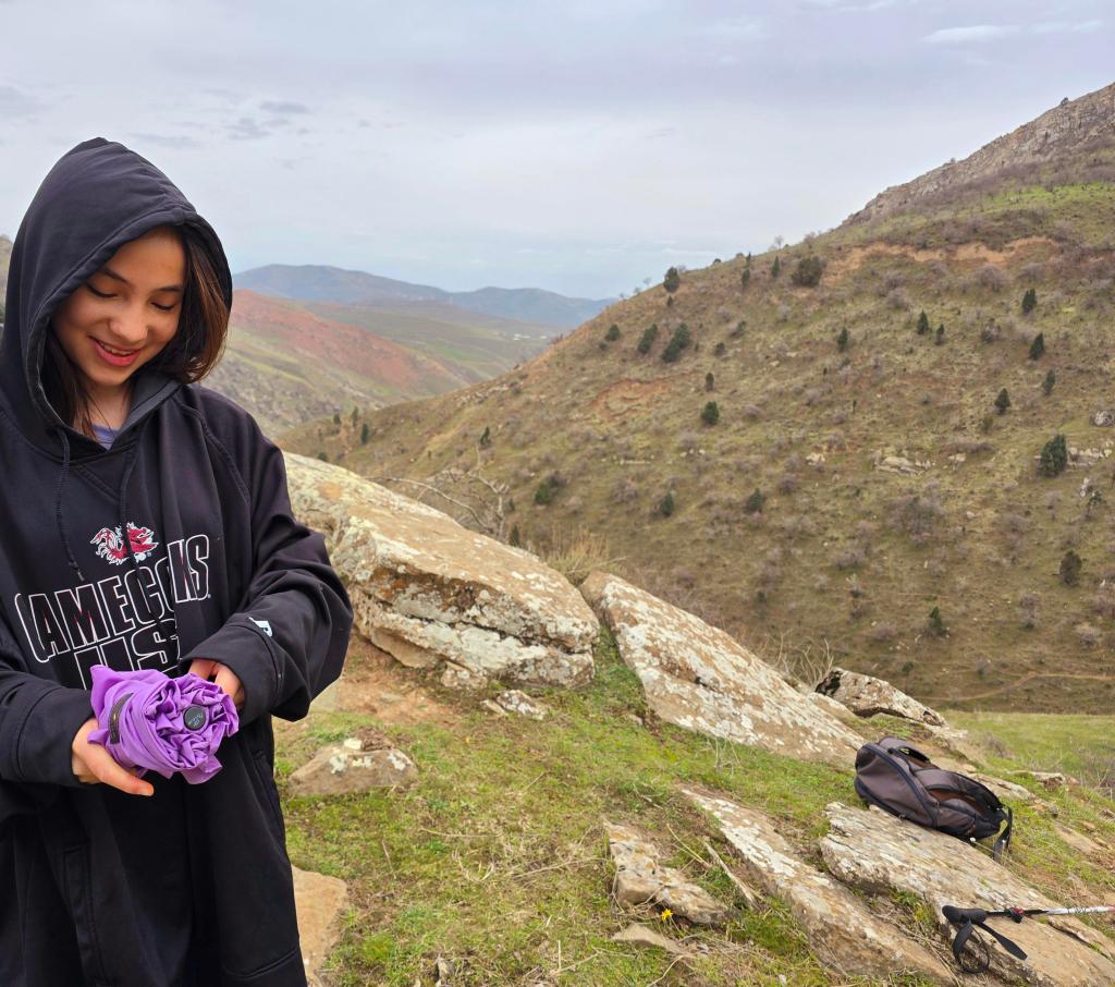
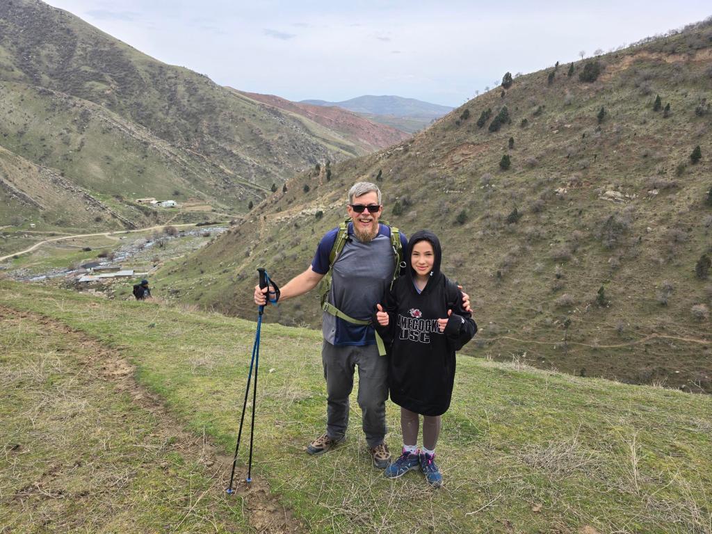
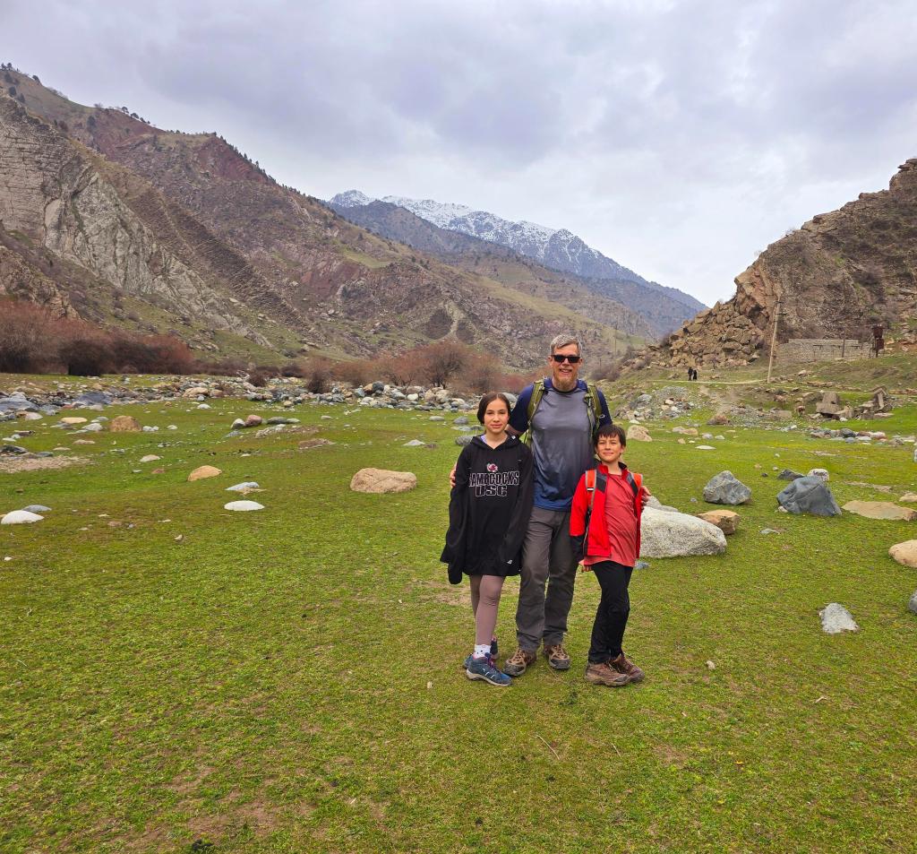
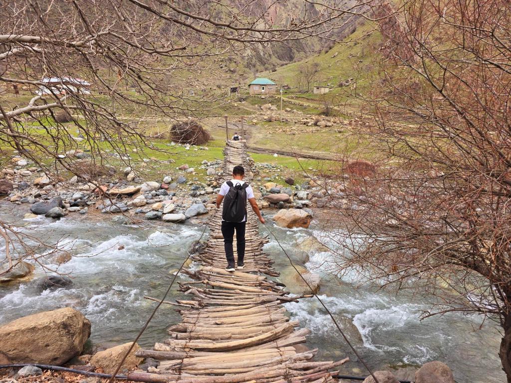
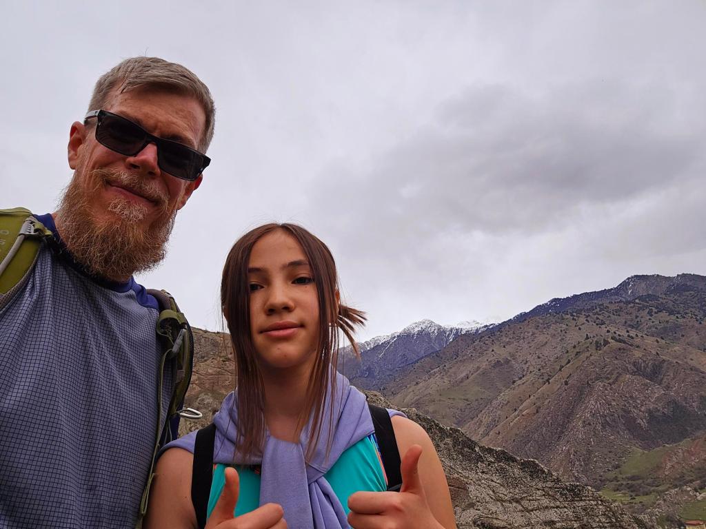
The bridge was simple and impressive in its own way: tree branches only a few inches thick laid across taut cables, with two more cables serving as handrails. We crossed and walked back through a section of the village we hadn’t seen yet. The front page image on this site shows my daughter and me returning across that bridge. She and our youngest son joined me on this hike, along with a group of friends from Hike Tajikistan.
Closing Reflection
Shirkent is the kind of place where the mountains don’t sit quietly in the background. They press in close, shaping the valley, the village, and every footpath that winds through them. Hiking here feels less like moving across a landscape and more like moving through it—through layers of time, through rock that remembers oceans, rivers, dinosaurs, and earthquakes. It’s a reminder that even on an easy trail, you can still walk across something immense, ancient, and very much alive.

Leave a comment