Trail Stats:
Distance: 6.5–7 miles round trip
Elevation Gain: ~2,100 ft / ~640 m
Time on Trail: ~6 hours total
Moving Time: ~3 hr 45 min
Difficulty: Moderate–Hard
Best Seasons: Late fall, early spring
Trail Type: Out-and-back with partial ridge loop
Water Needed: Minimum 1.5 L (more in warm weather)
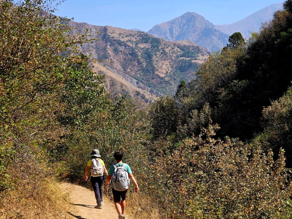
Not long after our arrival in Tajikistan, we began exploring the hills and valleys branching out from the Varzob corridor, slowly getting a feel for the terrain, the climate, and the rhythms of life in the mountain villages just outside the city. One hike we’ve now returned to several times starts from the small village of Dehmalik, located along the road that climbs out of Varzob toward Safed Dara.
We’ve hiked this route in three different seasons—late summer, late spring, and mid-November—and each time it felt like a slightly different experience. All three outings were done with Denis and friends from Hike Tajikistan, a group we still hike with regularly and one that has played a big role in helping us explore quieter, lesser-known routes safely.
Getting There
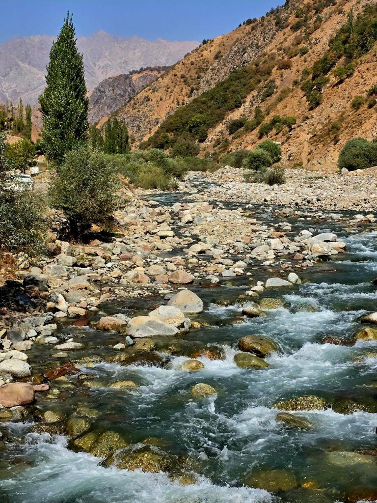
The trailhead is about a 45-minute drive from Dushanbe. From the Varzob road, you turn right toward Safed Dara and continue for another 15–20 minutes. From there, a left turn onto a dirt road follows a river upstream for several more miles until you reach Dehmalik.
Some houses sit directly along the road near the river, but most of the village clings to the steep lower slopes above. You park along the river just before the bridge crossing to the other side. In summer especially, this is the moment to make sure you have enough water and sunscreen—once you start climbing, you’ll be exposed to the sun almost the entire way.
Through the Village
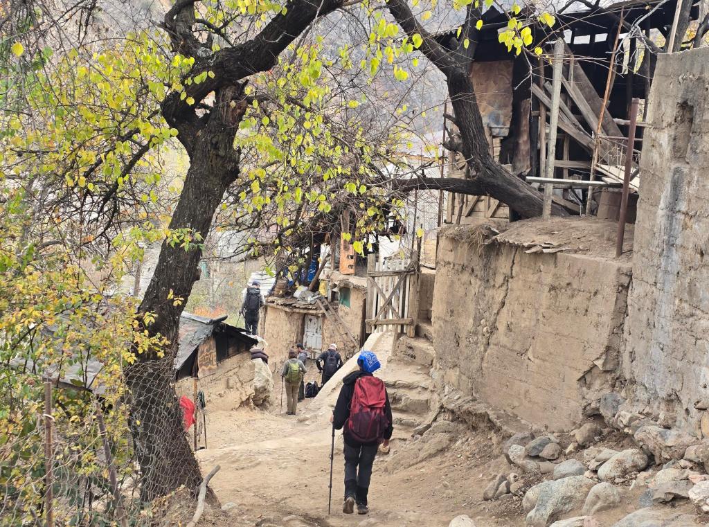
The hike begins by climbing directly up through the village. The first section is fairly steep, zig-zagging past rustic homes, chickens wandering the path, and village life unfolding around you. Children run about laughing, while adults go about their daily work.
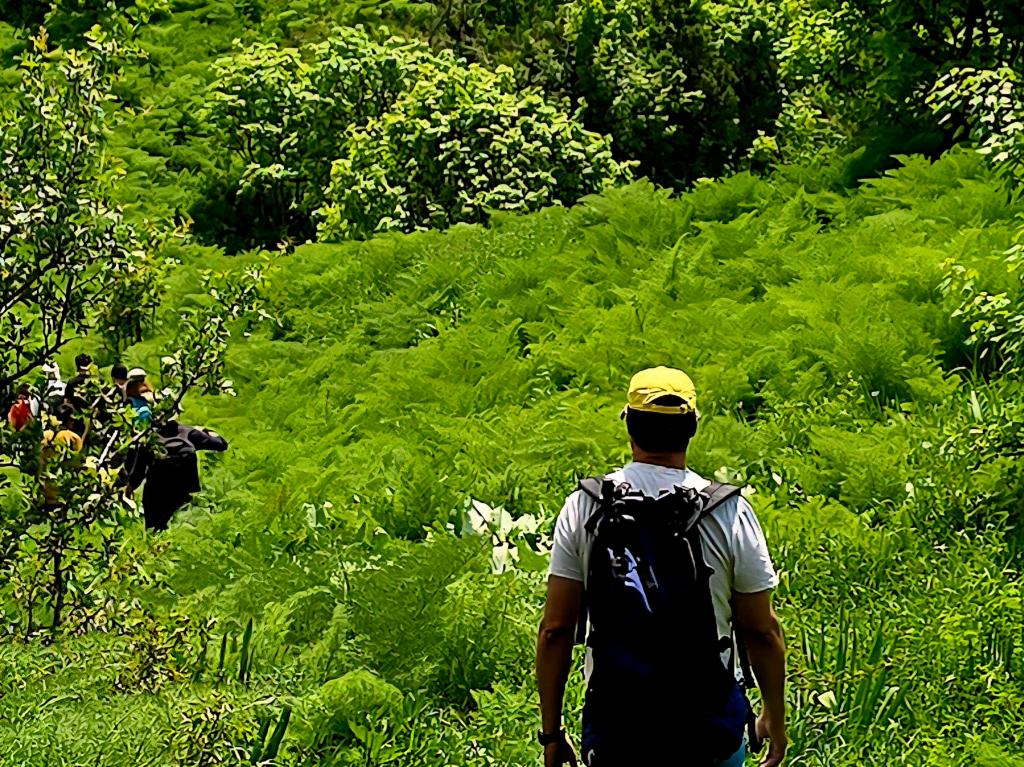
After gaining roughly 30–40 meters, the trail briefly flattens and continues between more homes lining either side of the path. Eventually, the village thins out and gives way to a quieter mountain track with a gradual to moderate grade. This section continues for about a mile and a half and feels almost relaxed compared to what lies ahead.
The Shady Grove and the Push Upward
The trail never drops here—it continues climbing steadily until you reach a welcome stand of mature trees beside a cold, murmuring stream. This shaded grove is a natural rest point and, with Denis’s groups, often where some hikers choose to stop, snack, and wait while others push on toward the ridge.
From this point upward, the hike becomes a leg-burner.
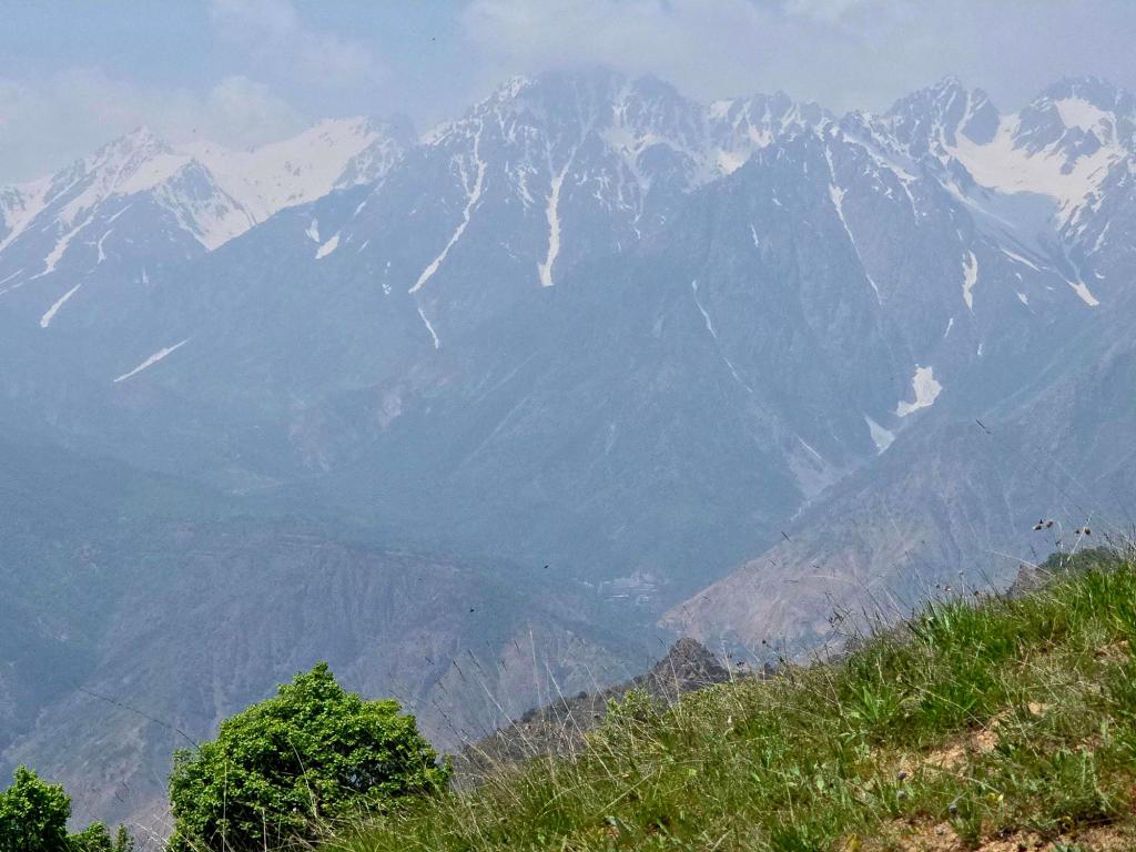
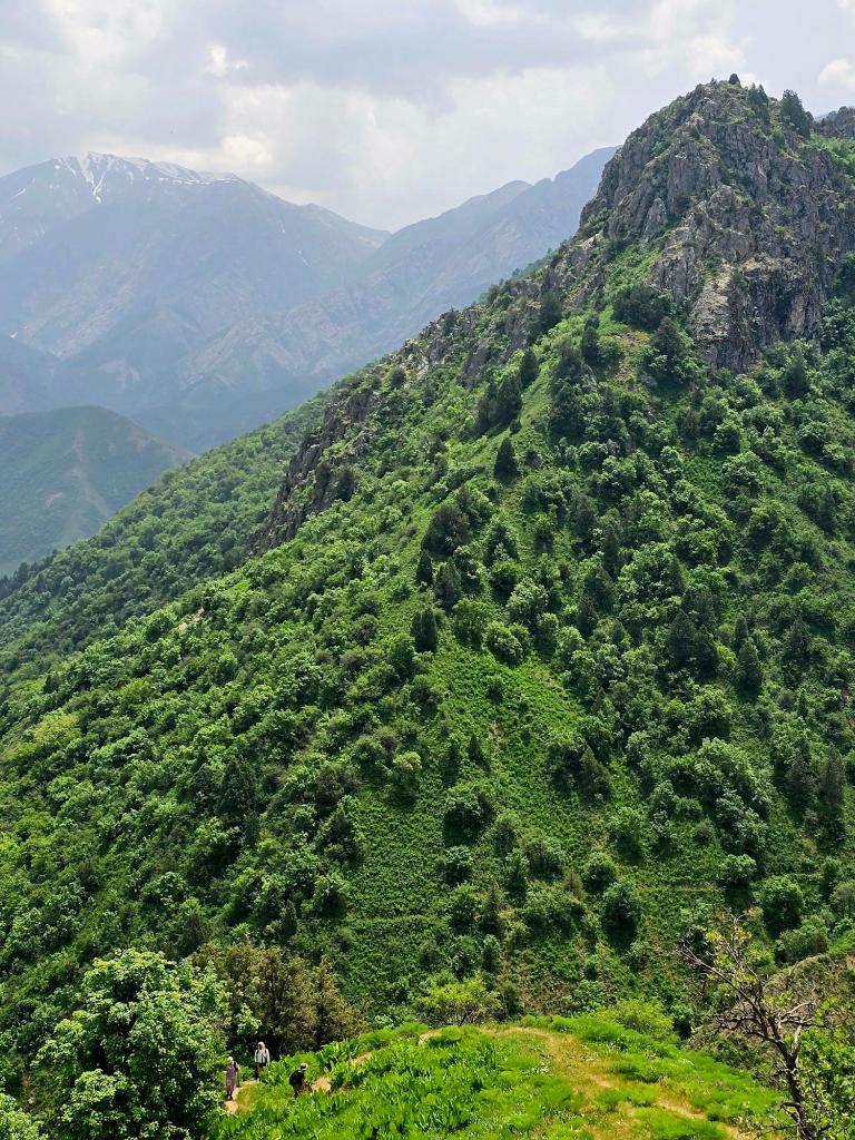
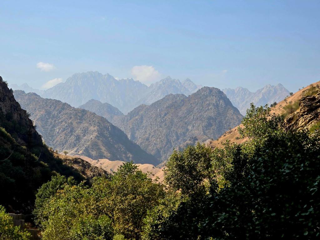
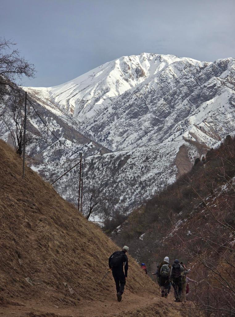
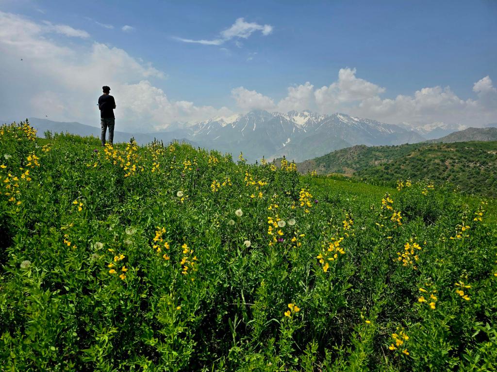
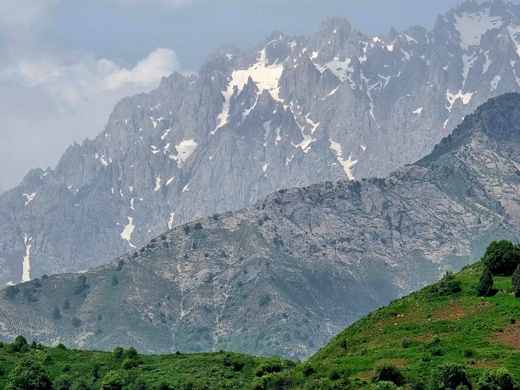
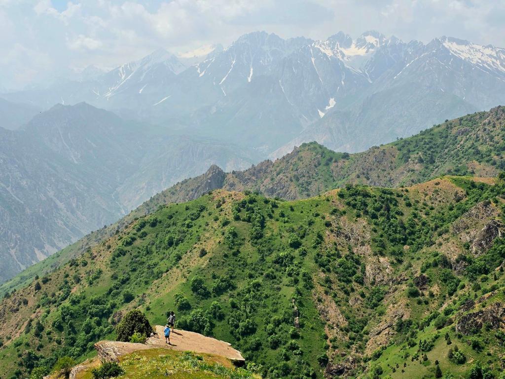
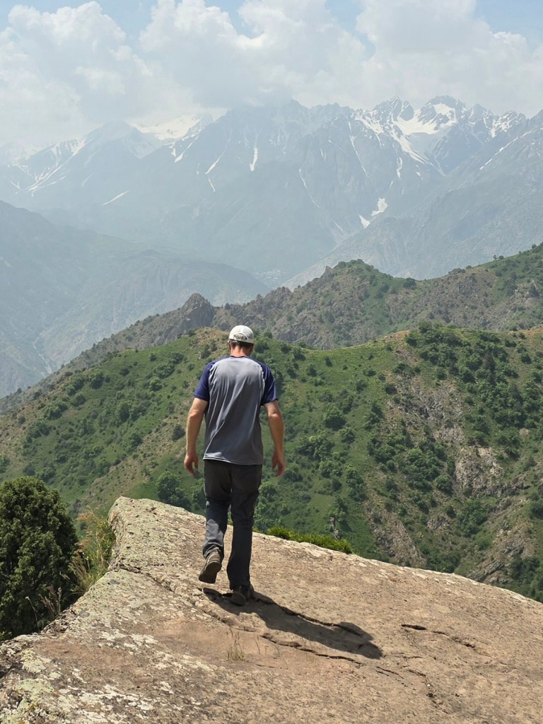
The grade steepens dramatically and remains relentless as the trail climbs toward the ridgeline. Shade all but disappears, and the sun can be punishing in warmer months. Near the top, the incline finally eases into one long, gentler traverse. As you gain elevation, distant peaks begin to appear beyond the ridge ahead, and with every step higher, more of the landscape opens up.
Just before reaching the ridge, the full jagged sweep of the Gissar Range comes into view—an abrupt and breathtaking reveal that makes the climb worthwhile.
Late Summer: Knowing When to Turn Around
Our first attempt on this hike was on September 22nd, in late summer. The heat was intense, and despite starting prepared, one of the kids began to overheat about 15–20 minutes shy of the ridge. They didn’t look good, so I handed over the rest of my water and made the decision to turn back.
It’s never an easy call, but it’s always the right one.
We descended to the shaded grove and cold river, had lunch with others who had chosen to rest there, and waited. About an hour later, the rest of the group returned from the ridge loop, and we all headed back down together. No summit that day—but no regrets either.
Late Spring: Beauty With a Sting
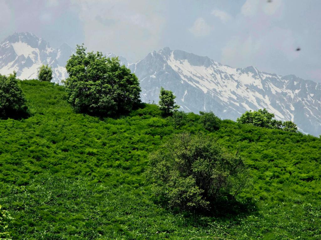
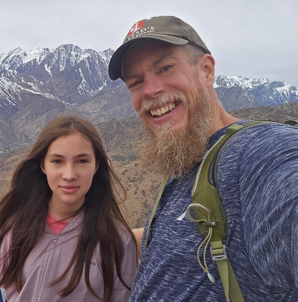
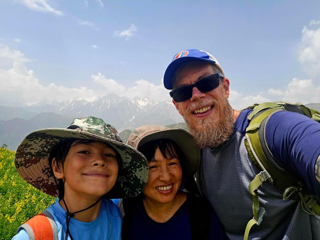
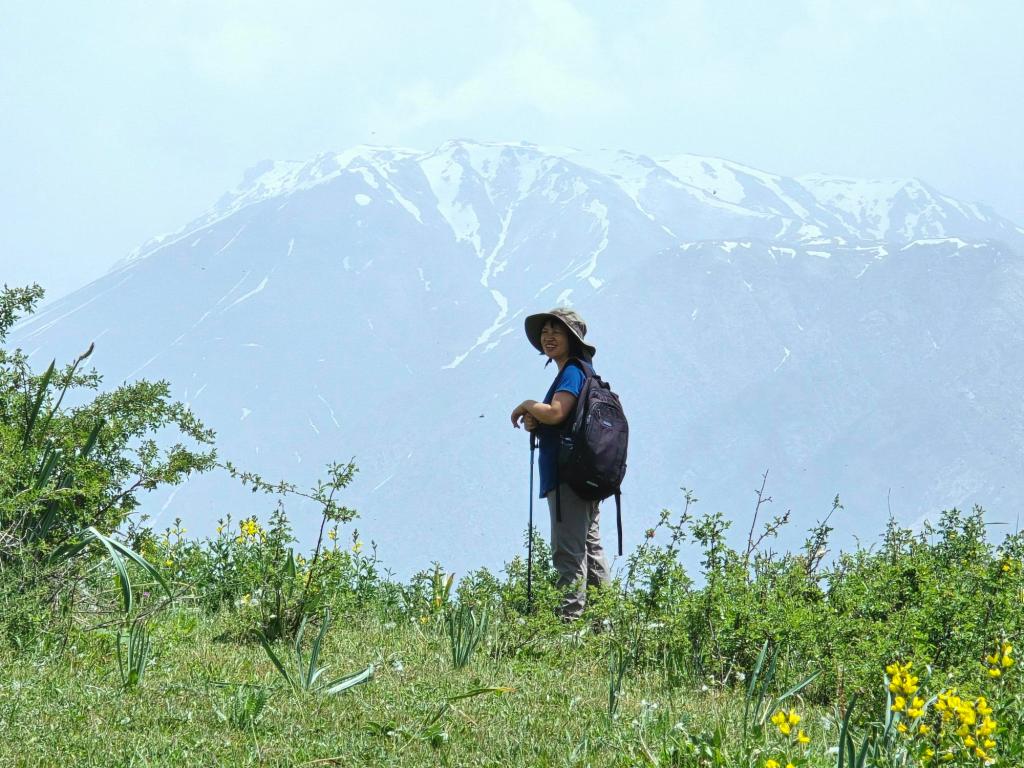
We returned on May 11th, 2025, this time with my wife and youngest son, and finally made it all the way up. The views were everything I had hoped for—green slopes, distant peaks, and wide-open skies—but spring brings a serious hazard on this trail.
The mountainsides were thick with a highly toxic plant locals call Yugan, a plant that looks deceptively like an oversized dill or fennel. Contact with it can cause chemical burns and painful blisters that last for months.
Our youngest brushed it with an exposed leg and ended up with several small blisters that burned and itched for days. Even after the irritation faded, the marks lingered for months. Another adult on that hike wasn’t as lucky and suffered large, painful blisters that lasted more than three months.
If you hike this trail in spring, long pants are strongly advised. The plant is so widespread that avoiding it entirely is nearly impossible, and a little skin exposure can lead to a great deal of discomfort.
Mid-November: The Sweet Spot
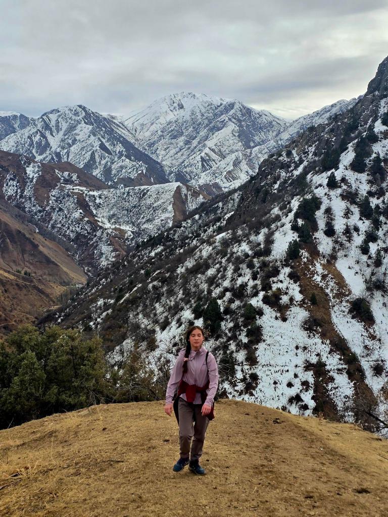
The final time I hiked this route was in mid-November, and it was easily my favorite. The air was crisp but comfortable enough for short sleeves, the sun no longer oppressive, and there was already snow dusting the ridge above.
It was the same trail, the same climb, and the same views—but the season transformed it into something calmer and more forgiving. Everything felt quieter, more spacious, and more reflective.
Final Thoughts
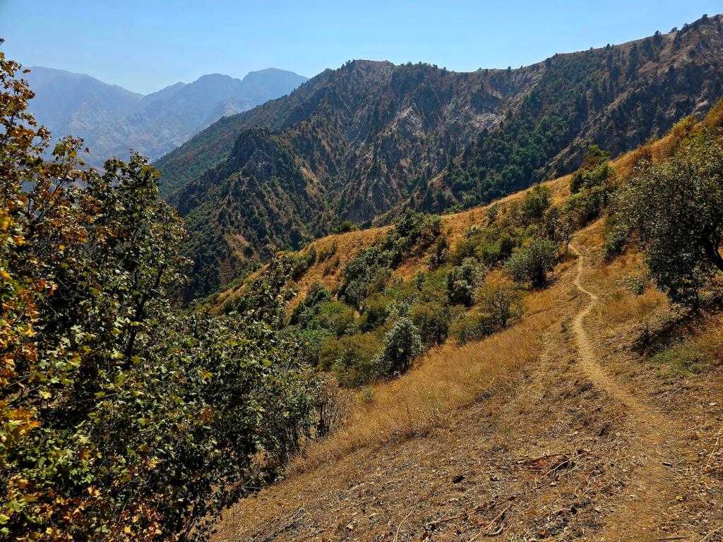
This isn’t a marked or maintained hiking trail, and it’s not one you’ll find advertised anywhere. The only people we’ve ever encountered up here are villagers harvesting wild rhubarb or kids guiding sheep to higher grazing grounds. It’s a working path first and a hiking route second—and that’s part of its appeal.
With roughly 6.5–7 miles round trip, about 2,100 feet of elevation gain, and a mix of gentle village walking and brutally exposed climbing, this hike demands respect and good seasonal judgment. Choose the right time of year, bring enough water, cover your skin in spring, and you’ll be rewarded with some of the finest ridge views Varzob has to offer.

Leave a comment