📍 Varzob Valley | Southern Gissar Range
🧭 Hike Stats (Approx.)
- Distance: ~6–8 km round trip (depending on turnaround point)
- Elevation Gain: ~200–300 m
- Difficulty: Easy
- Time: 2.5–4 hours at a relaxed pace
- Best Season: Spring, summer, fall (winter possible with proper gear)
- Dates Hiked: September 8th and December 1st, 2024
This hike was our fourth outing after moving to Dushanbe, and it quickly earned a permanent nickname in our family: the Fossil Hike. We’ve referred to it that way ever since—after finding loads of fossil fragments scattered across the hillside, along with one intact ammonite that stopped us in our tracks.
The trail sits about an hour north of Dushanbe, heading up through the Varzob area and into the southern slopes of the Gissar Mountains. It’s an easy, scenic walk with a surprising amount of geological and cultural intrigue packed into a short distance.
Getting There
The drive itself is part of the experience. You follow the river north through the Varzob Valley, then make a left off the main road and begin climbing steeply away from the Varzob River toward Khoja Obi Garm.
The road gains elevation quickly, winding up to nearly 2,000 meters above sea level, where the massive Soviet-era sanatorium sits perched among the mountains.
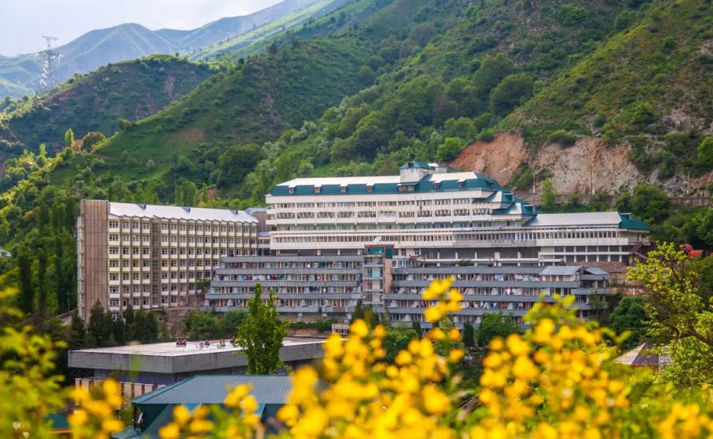
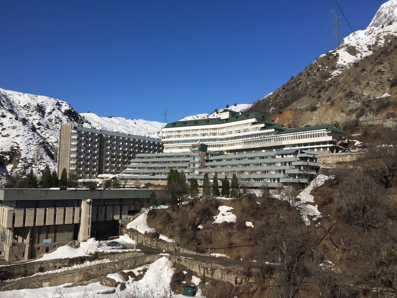
Khoja Obi Garm Sanatorium
The sanatorium is impossible to miss. It’s a striking example of Brutalist Soviet architecture, looming above the gorge and surrounded by dramatic mountain scenery. The complex was built around natural mineral-rich hot springs, long believed by locals to have therapeutic properties.
The waters here contain low levels of radon gas, so soaking times are typically limited to around 15 minutes. I still haven’t worked up the courage to go inside the building itself (I’ve heard some wild first hand accounts :)), but I’m told it’s a near-perfect time capsule of Soviet wellness culture—unchanged for decades.
We parked just past the sanatorium and crossed the road to begin the hike.
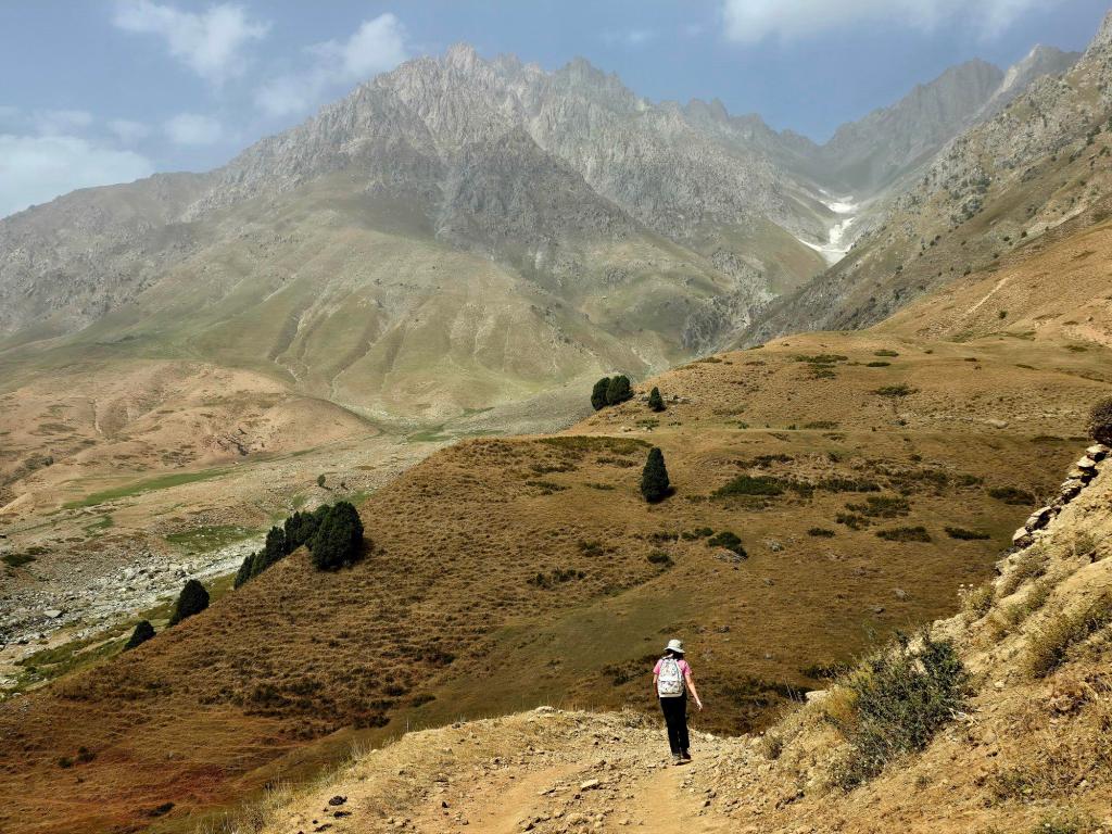
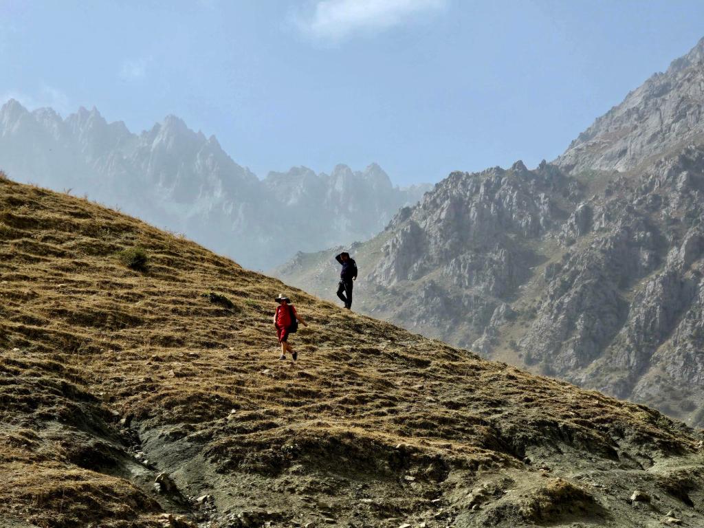
The Hike Up
The route starts as a double-track dirt road, climbing steadily but gently. This is very much an easy stroll, gaining about 200–300 meters at a casual pace. The road switchbacks back and forth across the slope, occasionally opening up to epic views down the gorge, with the sanatorium shrinking below you as you climb.
Eventually, the grade eases and the road begins to flatten out. At this point, you’ll notice options to head left or right.
- Left connects to a longer trail that eventually drops down to the village of Khushori (a hike we’ve done coming the other way).
- Right is where we’ve gone both times—and where the fossils are.
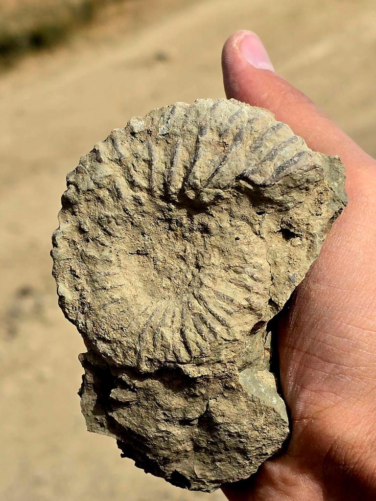
🐚 Fossils in the Hills: Ammonites Above Khoja Obi Garm
After turning right and walking another 100–200 meters, this is where things get interesting.
Step off the main track and start looking around—it won’t take long. Fragments of ammonites and fossilized sea shells are scattered all over the slope. Ribbed curves, spiral impressions, broken shell sections—once you tune your eye to them, they’re everywhere.
One piece we found was a nearly intact ammonite, a marine animal related to modern squid and octopus that lived between 200 and 66 million years ago. Finding marine fossils at this elevation is a powerful reminder that these mountains were once ancient seabed, later thrust skyward by immense tectonic forces.
Leave fossils where you find them when possible—these fragments are part of a much larger geological story still being told.
Sacred Juniper & Local Beliefs
Continuing uphill, you’ll pass a sacred spot on the right side of the track. A thick, ancient juniper tree stands there, covered in tied tissues and cloth strips, left by visitors paying respect or making wishes.
At first, I thought it might be a burial site, but I’m no longer convinced. Regardless, it’s clearly a place of quiet significance, and it’s worth passing with respect.
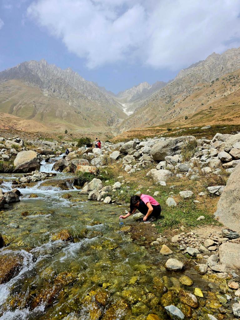
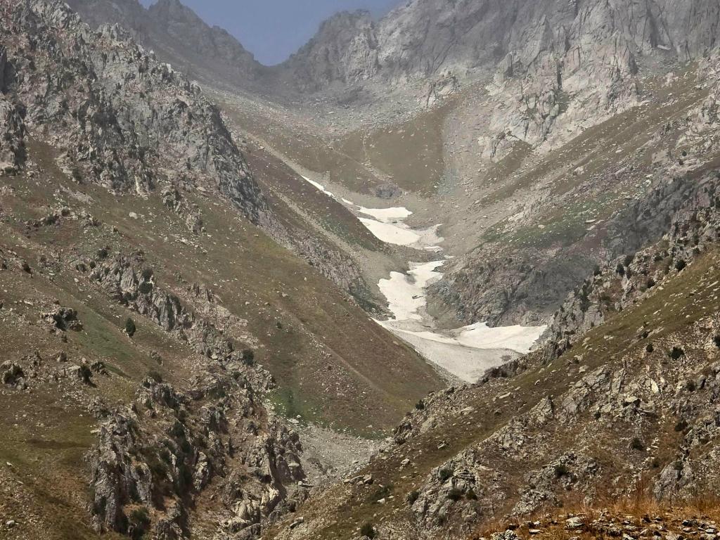
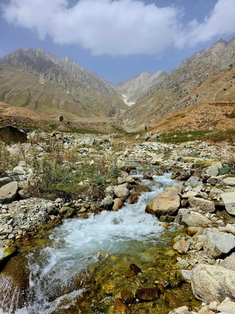
Down to the Pugus River
Keep climbing to the top of the hill and the trail drops down the far side. Follow the road for another kilometer or so until you spot a single-track trail branching off to the right. This narrow path leads a few hundred meters more and brings you down to the bank of the Pugus River.
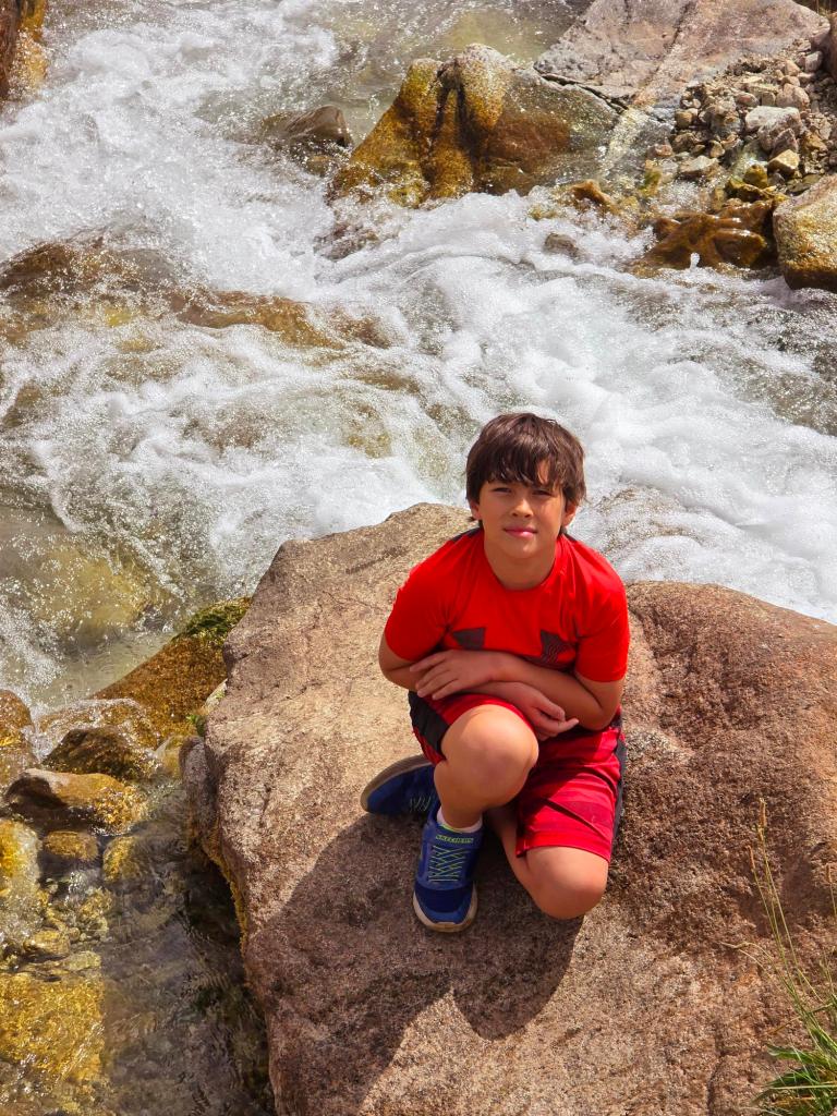
This is a fantastic place to stop.
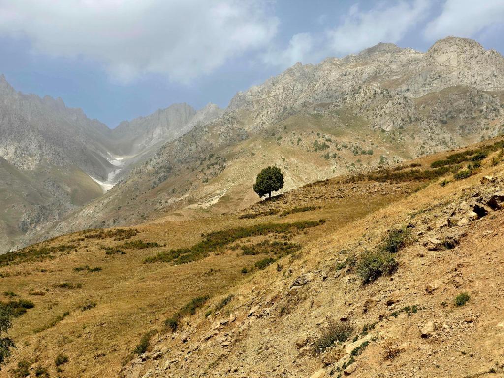
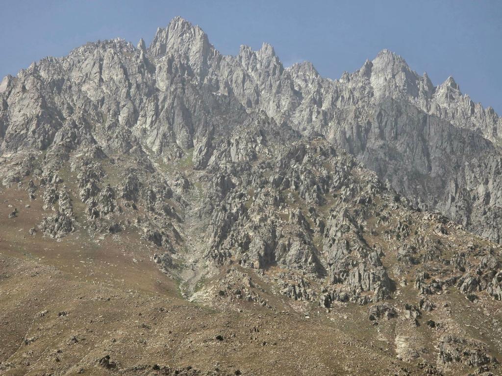
The river flows down from the high peaks of the Gissar Range, and from here you get an incredible vantage point of the mountains. Large glaciers cling to the upper slopes, stretching from about halfway up to the summits. The whole river area is cool, quiet, and worth poking around for a while.
This is also a spot I’d love to revisit on a backpacking trip, pushing farther up toward the high passes and glacier-fed terrain.
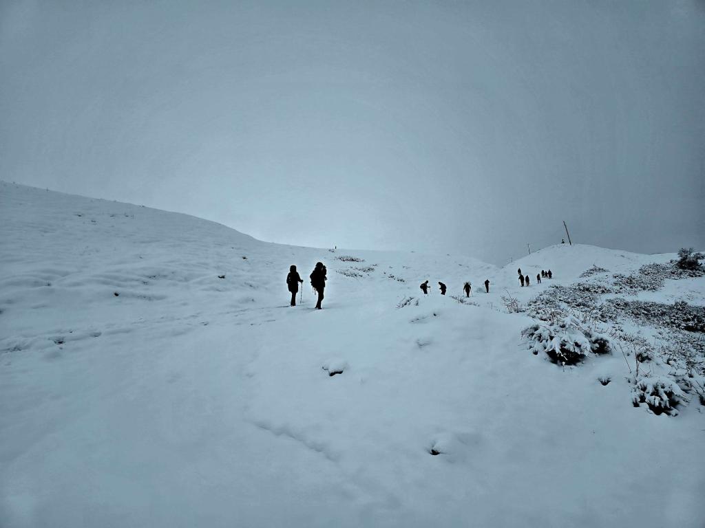
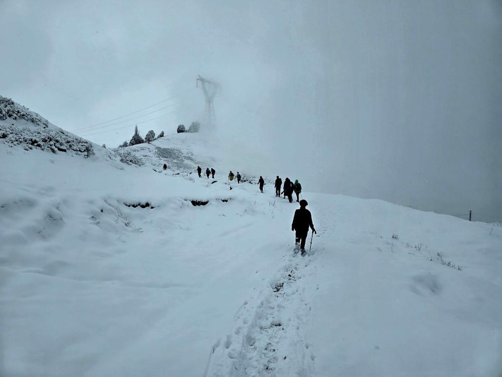
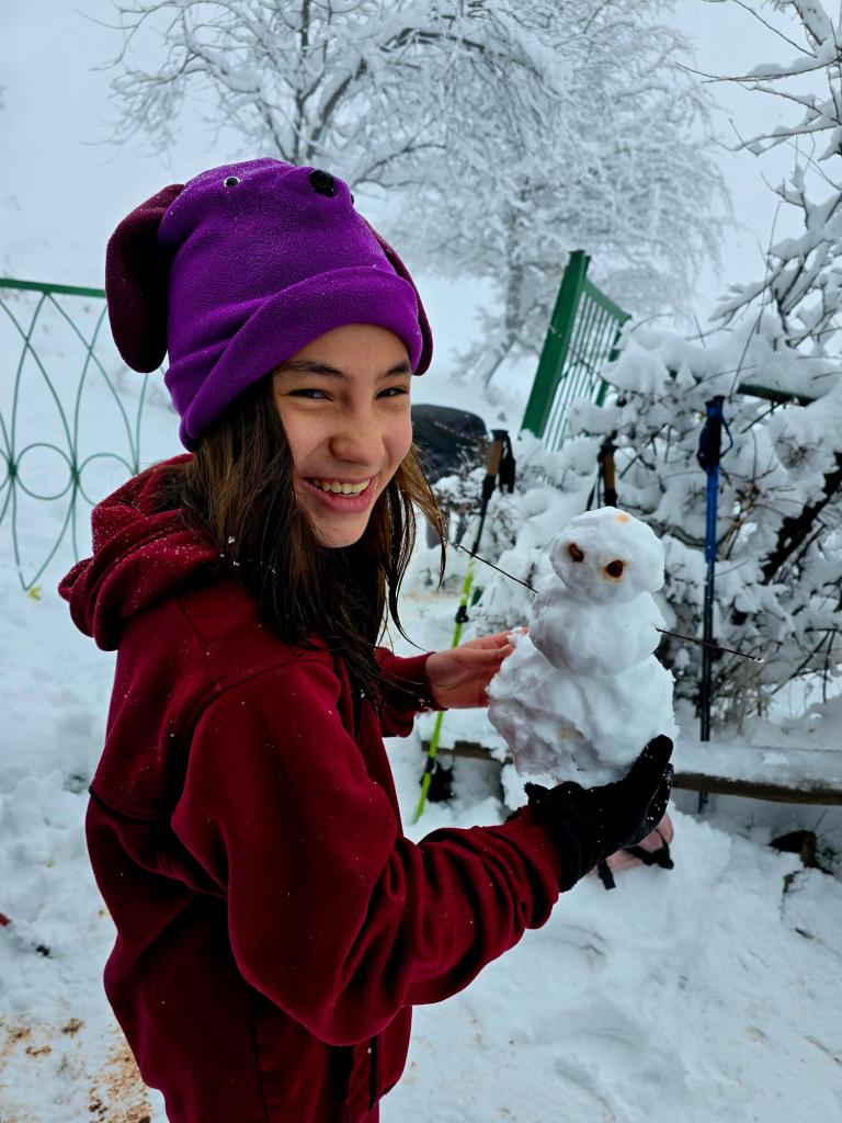
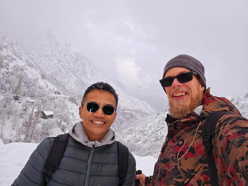
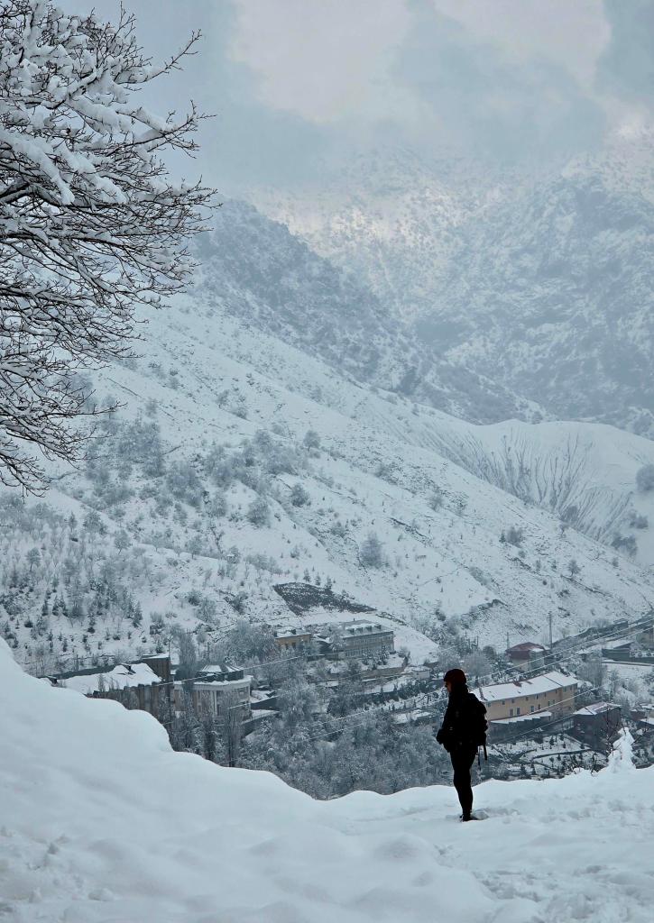
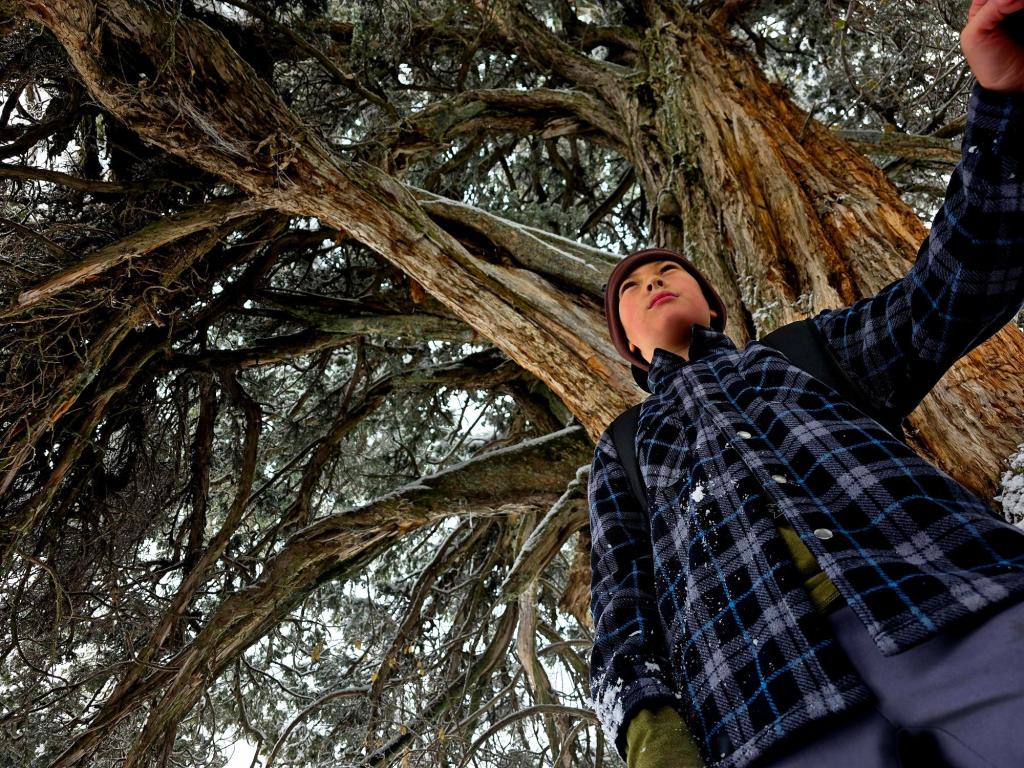
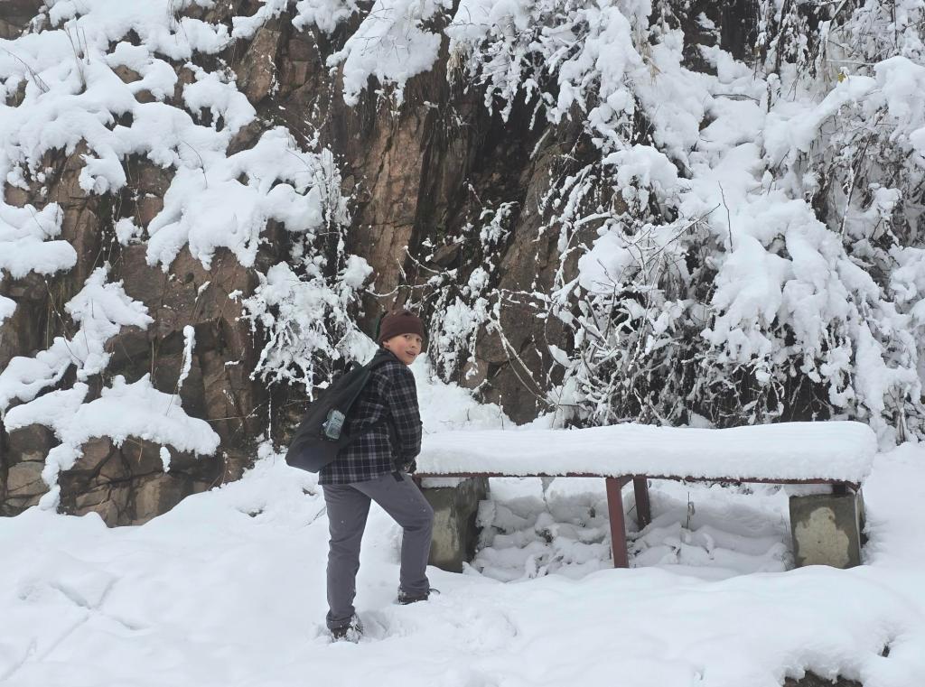
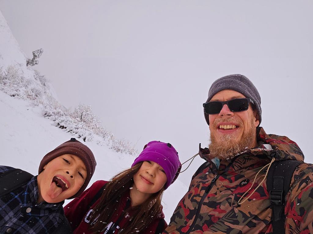
Winter Conditions
We’ve done this hike once in late summer and once in winter conditions. In winter, there was about a foot of snow on the ground, with steady snowfall coming and going. Visibility would open up in dramatic patches, then vanish again into whiteout conditions minutes later.
We didn’t make it all the way to the river that time. Not everyone in our group was prepared for extended exposure in those conditions, and when the wind picked up, it was bitterly cold.
There’s obviously no fossil hunting in winter, but the atmosphere alone made it a memorable outing.
Final Thoughts
In the drier months, be sure to slow down in the fossil zone on your way back down—you’ll almost certainly spot something new. Just be sure to leave fossils for the next person to discover and future studies.
After a good winter hike, stopping back at the sanatorium for a hot mineral soak sounds pretty ideal. From the trailhead, it’s an easy one-hour drive back to Dushanbe, making this a perfect half-day adventure with a lot of character.

Leave a comment