Location: Varzob Valley, Tajikistan
Access: ~1.5 hours north of Dushanbe (65 km)
Difficulty: 7.5/10 (steep, loose, partially off-trail)
Best Season: Mid–late summer
Getting Started
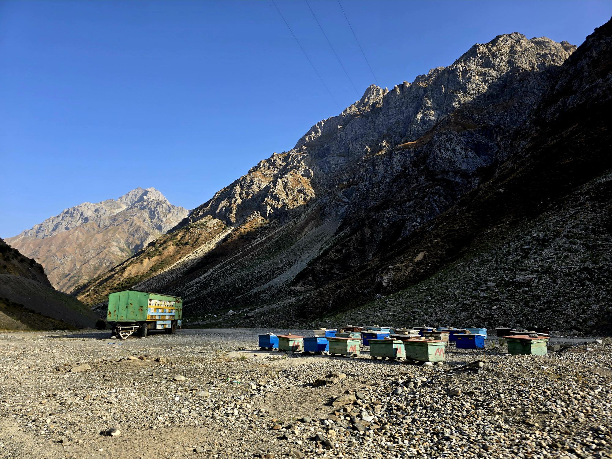
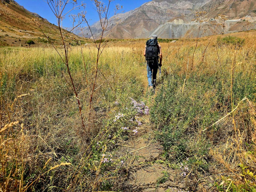
The road down to the Maihura river is not far past the turn off to Ziddi Valley, but on the other side of the main road up to Khujand. Not far past that turn off, the road begins to climb up on its way to the Anzob tunnel. There will soon be a dirt road dropping off to the left. Follow that road for a few miles until you are right along the river. Son you will find all the bee hives and the summer home.
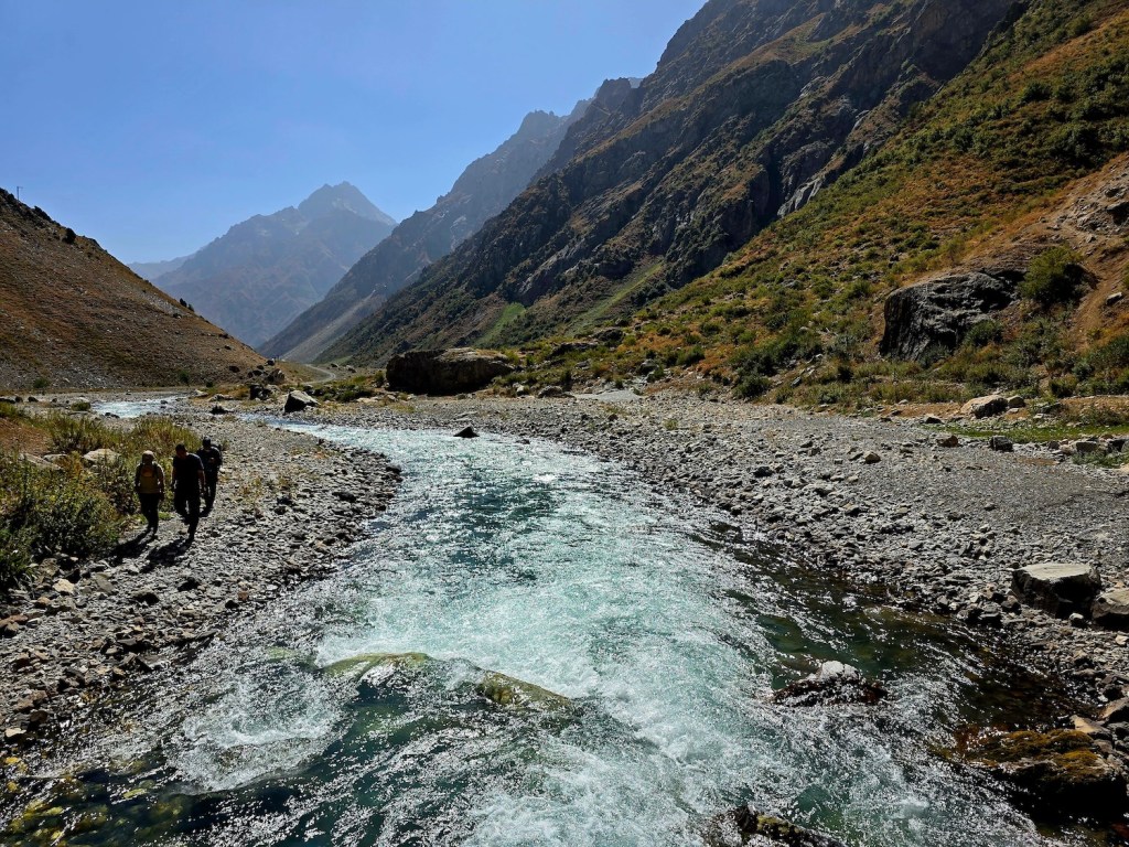
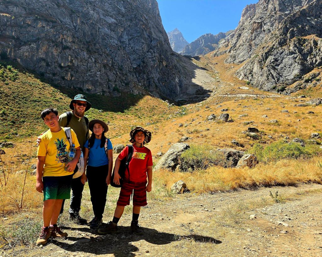
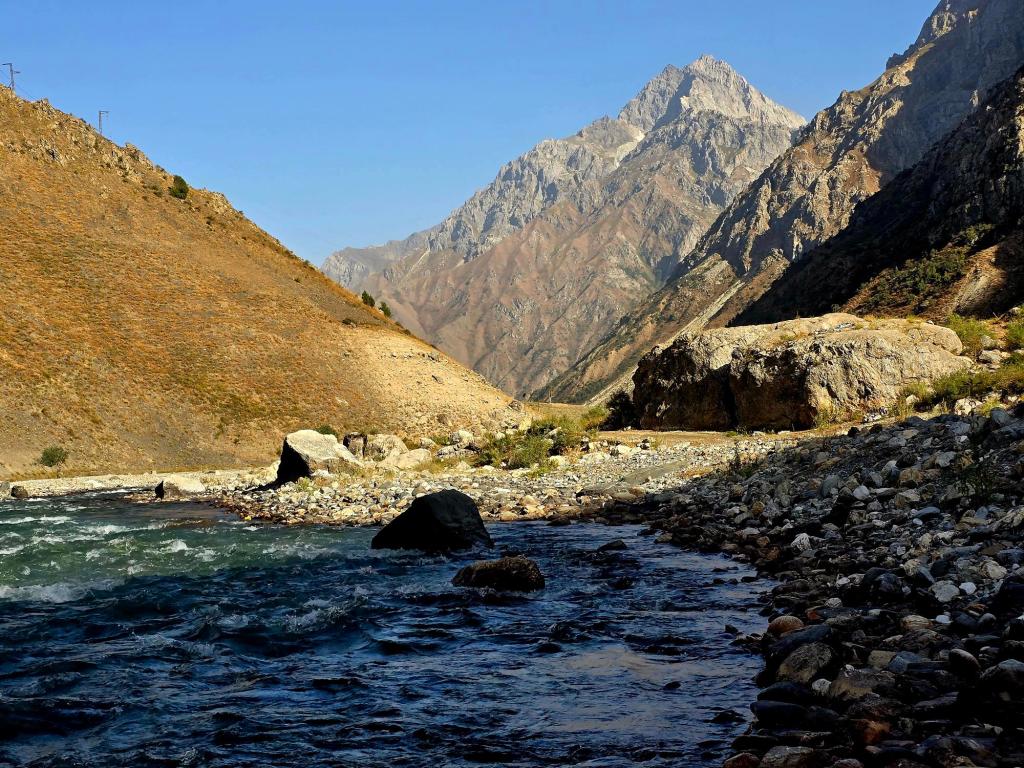
We parked just past the beekeepers’ camp and before the summer house occupied by a family of shepherds. From there, continue walking along the dirt road for a short distance until you reach a bridge crossing the Maihura River. Cross the bridge and immediately pick up the road on the far side — it gains elevation right out of the gate.
Almost immediately, you’re given early glimpses of the entire hike laid out above you, stacked high above the river valley where you begin. It’s obvious within minutes that this is going to be a serious climb.
The First Climb
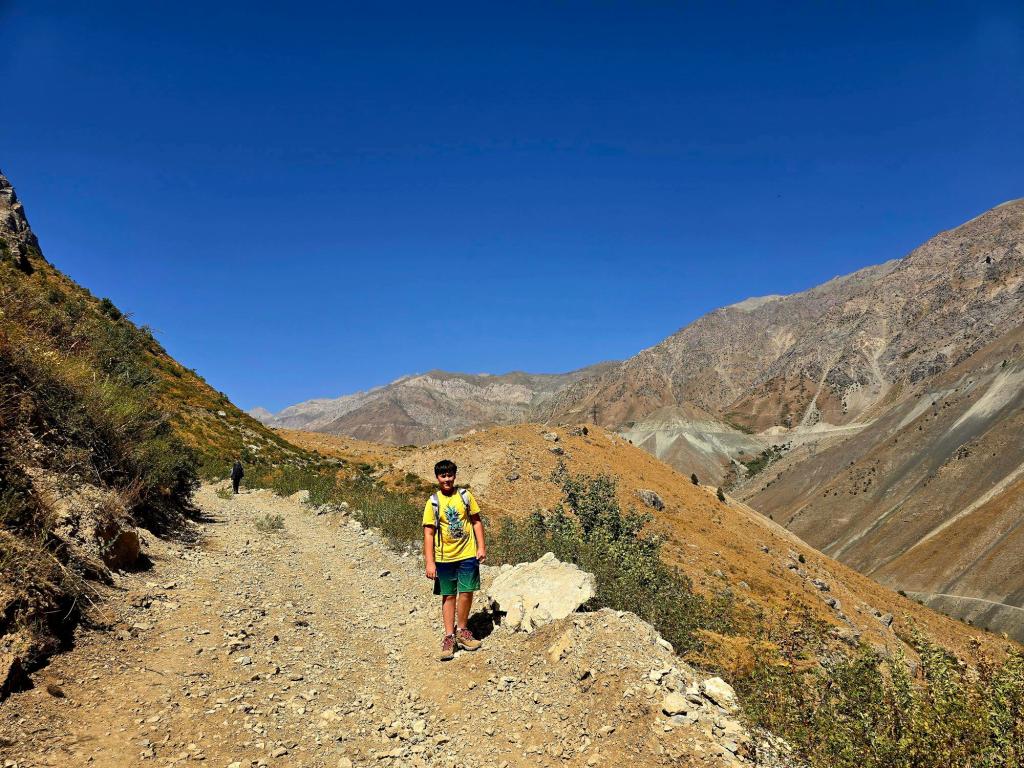
The opening section is steep, but relatively forgiving. You’re still following a well-graded double-track, and while it demands effort, it’s straightforward hiking. Don’t worry — there’s still plenty of challenge ahead.
This first section tops out at a small plateau, an ideal place for a water break and a quick snack. Take advantage of it. This entire hike is very exposed, and once you leave this spot, shade becomes hard to find. A wide-brimmed hat and plenty of sunscreen are essential.
From here, look across the valley and you’ll have excellent views of the main road clinging to the opposite mountainside as it climbs toward the Anzob Tunnel.
A Brief Mental Detour: The Tunnel
The Anzob Tunnel — fondly referred to by many locals as “The Tunnel of Death” — is a 5 kilometer passage blasted through solid mountain years ago. Its construction was plagued with problems, and even today it remains an unnerving experience.
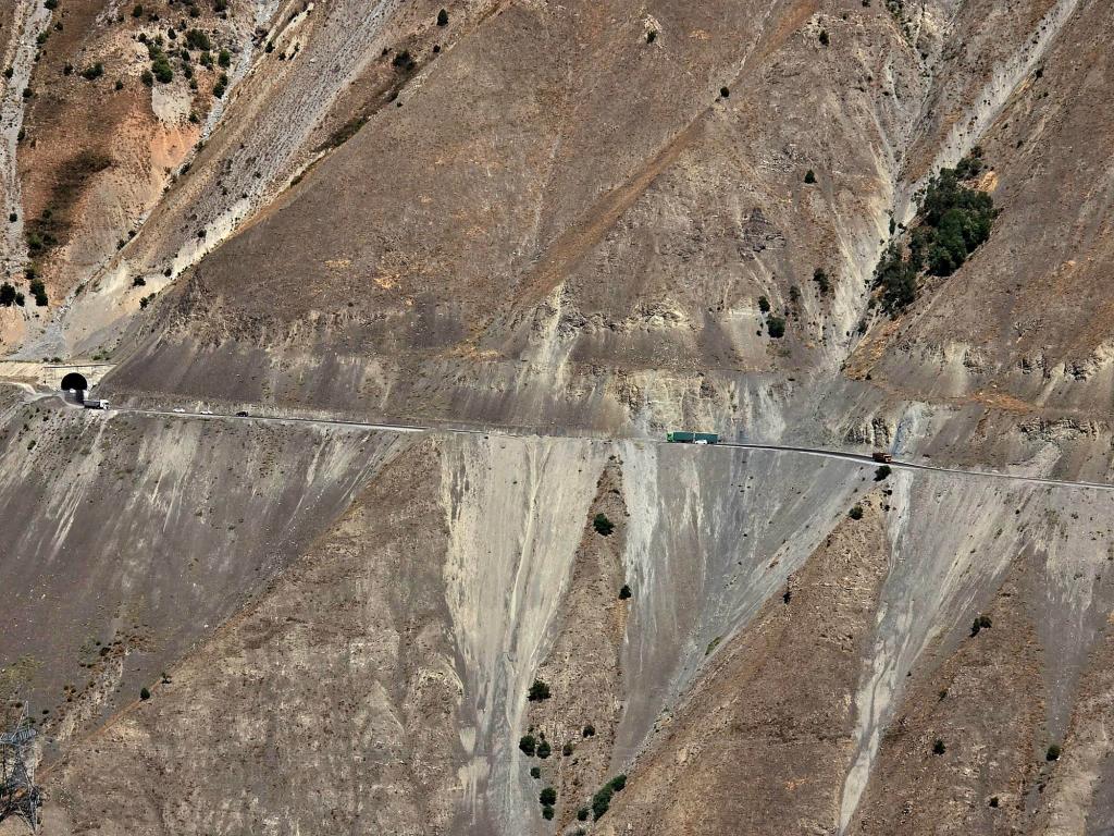
There are no lights through the first half, just headlights cutting through exhaust, water dripping from exposed rock overhead, and drivers passing in ways that only an Inshallah approach to road travel can justify. Every crossing feels like a small act of faith.
Thankfully, today you’re watching it from afar — safely outside, in clean mountain air.
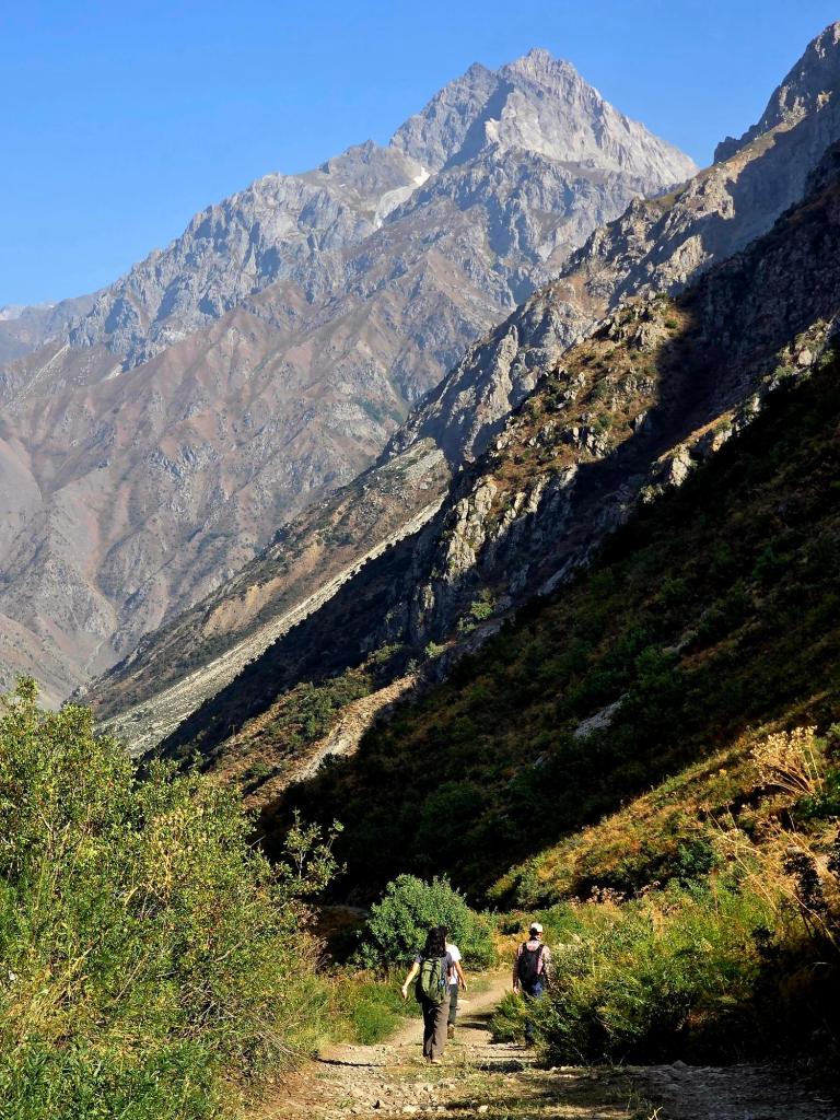
Leaving the Road Behind
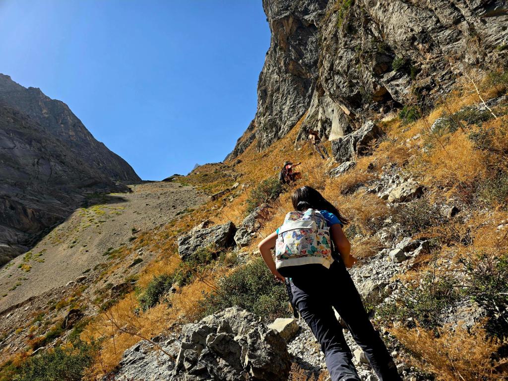
Beyond the plateau, the route loses definition quickly.
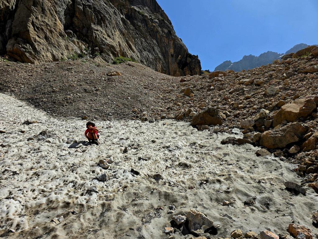
The double-track fades into an undefined trail that funnels you into a narrow corridor, boxed in by steep mountain walls on both sides. The scale tightens, the terrain steepens, and the hike shifts into something more serious.
The first part of this section is the most technical:
- Deep sand
- Loose rock — small and large
- Constant loss of traction
Once past that, the footing improves into a long, steep section of rockier, more stable ground. We stayed mostly near the middle of the slope, carefully picking lines upward.
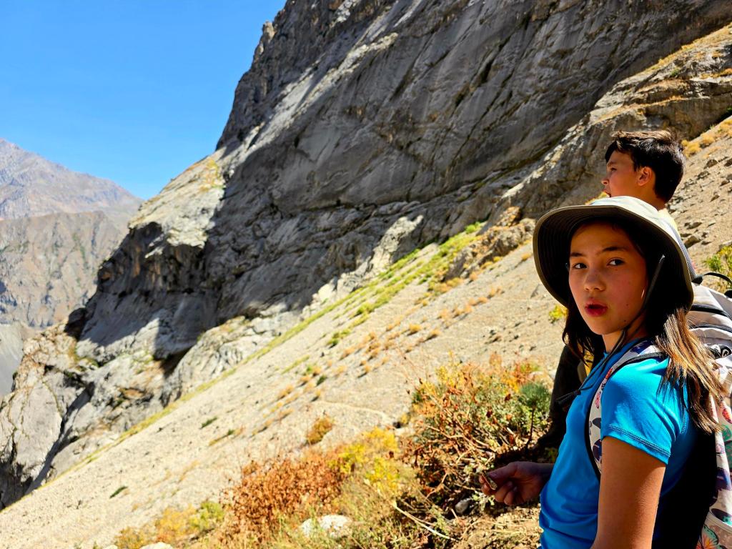
Spikes, Scratches, and Lessons Learned
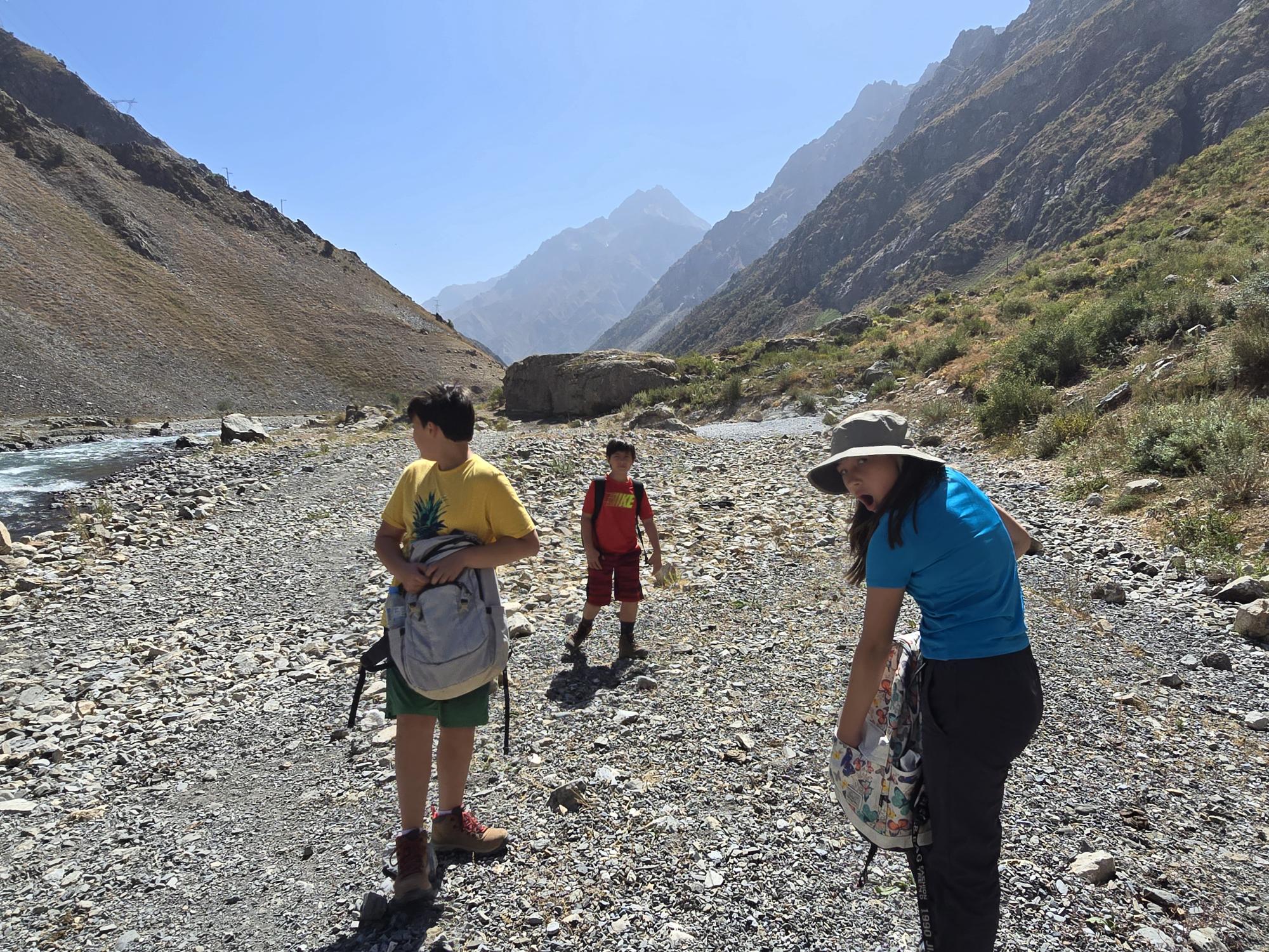
This stretch is littered with spiky alpine plants that grab aggressively at pants and legs. If this is your first hike in Tajikistan and you’re wearing shorts, consider this a learning experience. You won’t make that mistake twice (hmm-hmm).
For the final push toward where we stopped, the left side of the slope proved to be the best option — slightly better footing and fewer plant ambushes.
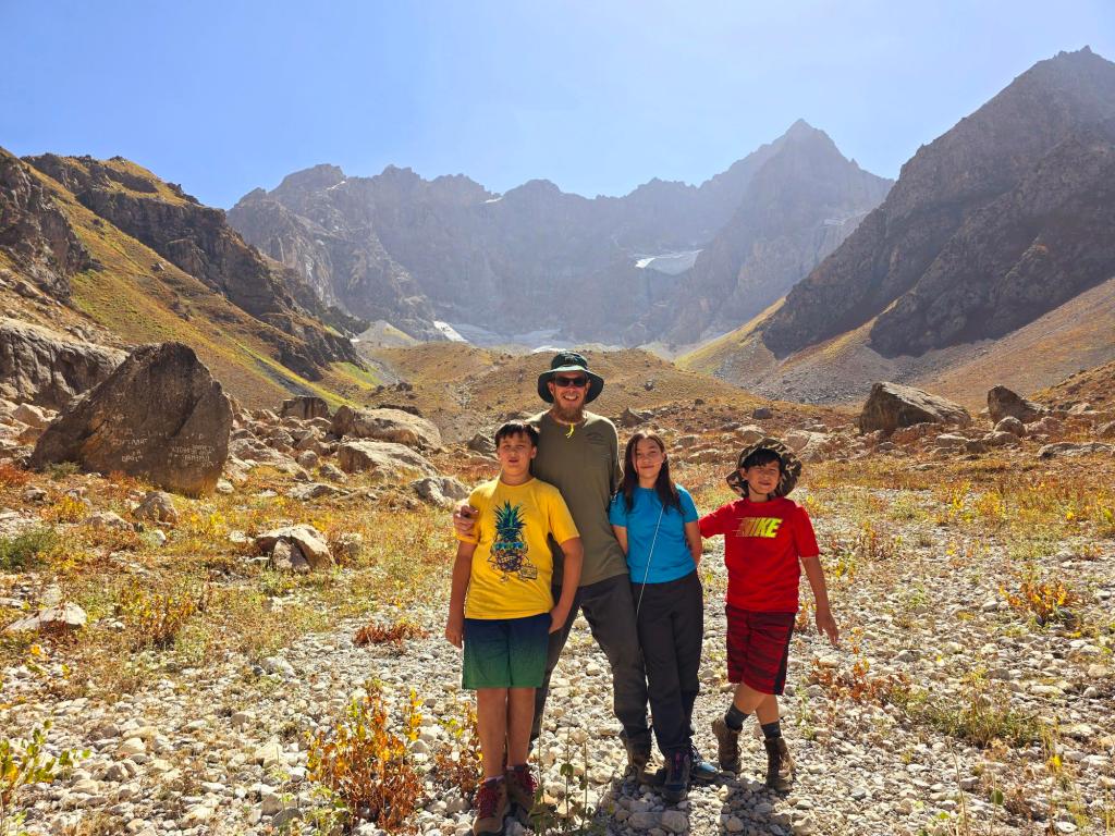
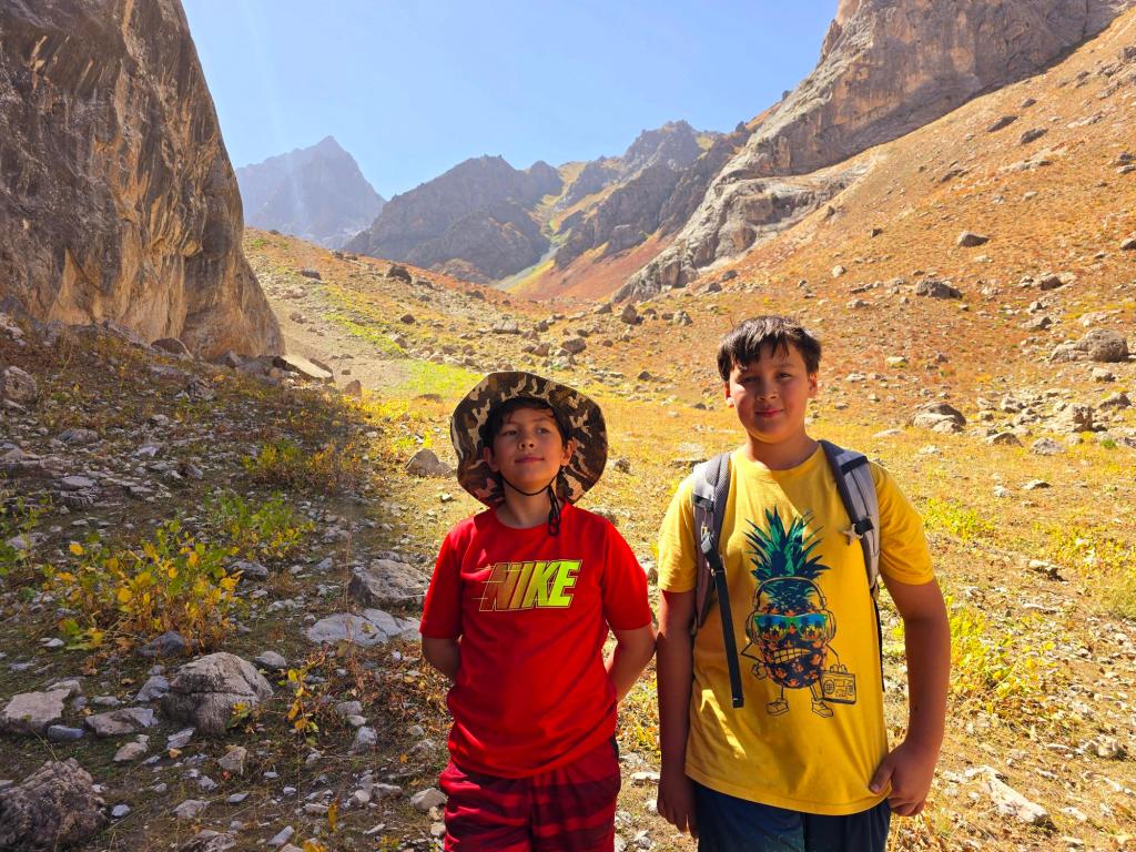
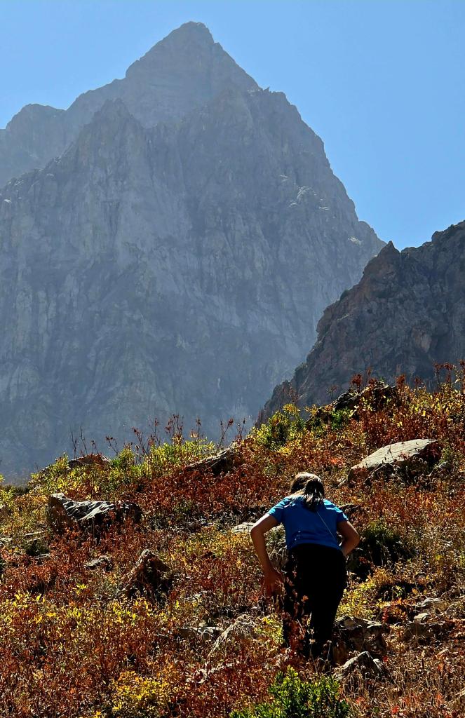
The Basin
Then, almost without warning, everything opens up.
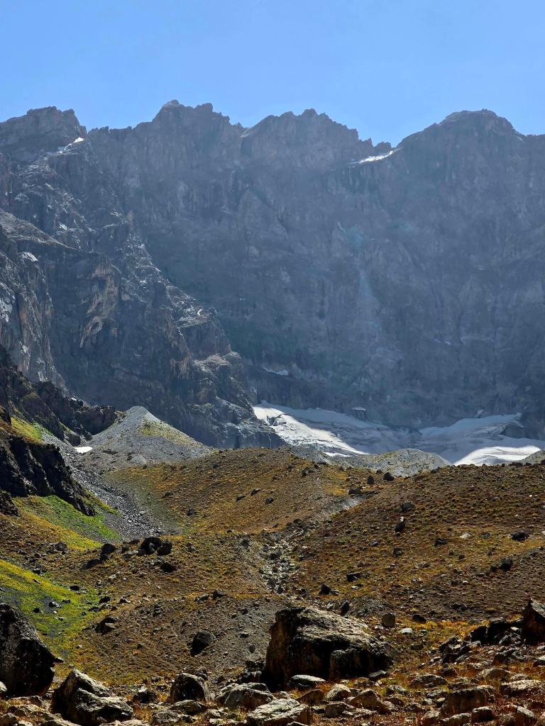
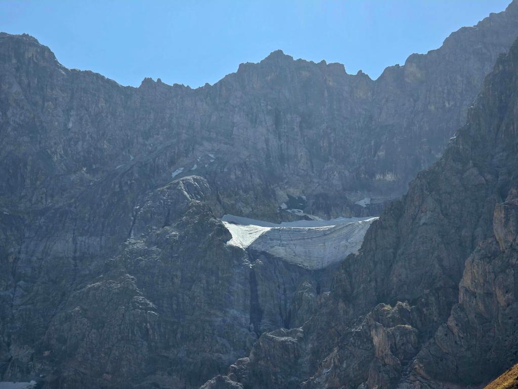
The climb spills you into a huge alpine basin, quiet and expansive, ringed by rugged peaks of the Gissar Range. Even in late summer, patches of snow linger in shaded corners, and massive glaciers cling stubbornly to the highest faces surrounding you.
The contrast is striking:
- Tight, punishing ascent below
- Vast, open stillness above
The scenery and silence are breathtaking — the kind that makes you stop talking without realizing it.
Overnight Potential & Exploration
This basin immediately went onto my late-spring overnighter radar. There are numerous excellent camping options, and the night skies in this area never disappoint. With more time, there may be viable routes to nearby peaks, making this an outstanding basecamp for further exploration.
It’s the kind of place that invites lingering — and return trips.
The Descent
The descent follows the same route down for the steep, difficult upper section. Once you reach the midway plateau, you have options: either return the way you came up or cut right and begin switchbacking down the slope.
Navigation is straightforward. You’ll quickly spot the river below, the bridge, and eventually your car far beneath you. It’s nearly impossible to get lost from here.
One Last Reward
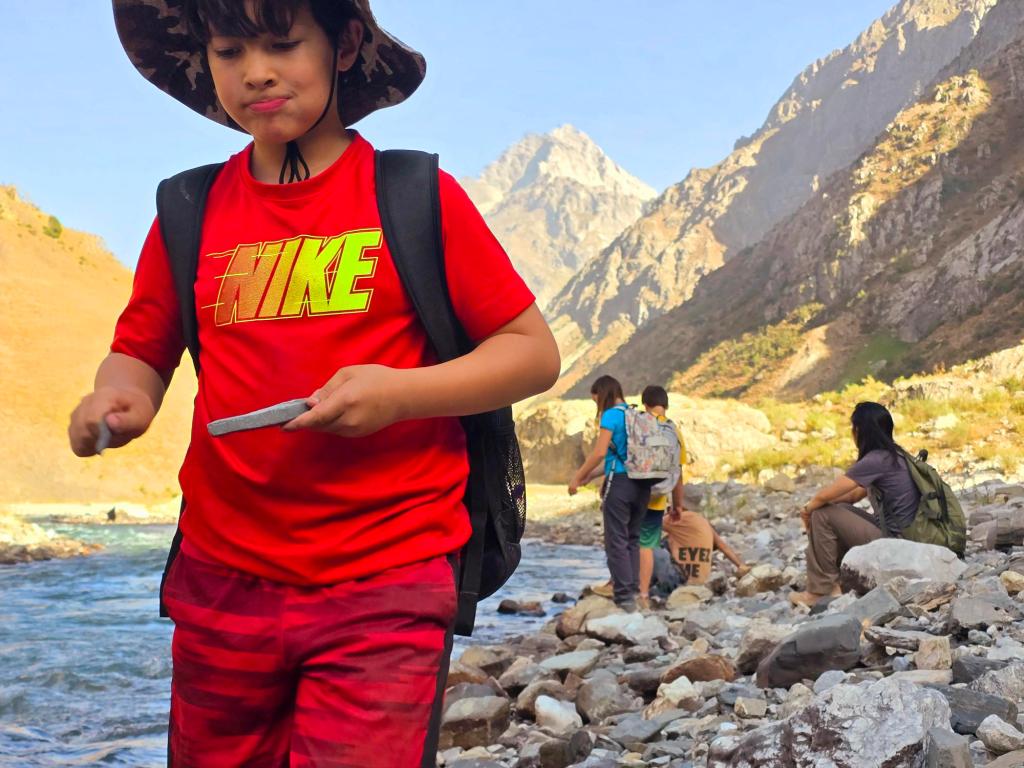
When you finally reach the river, find a calm section where the water isn’t moving too fast and take a quick ice-cold rinse. You’ve earned it.
Sit on the riverbank for a while. Let the moment settle.
I always delay the return to the city as long as possible after hikes like this. Some places deserve to be left slowly.
This is a demanding hike — steep, exposed, and largely off-trail — but it rewards every ounce of effort with scale, silence, and a sense of genuine discovery. One I’ll be coming back to.

Leave a comment